In early 2020 I traveled across the country over the course of three weeks. During this trip we traveled 8154 miles across 20 states and visited over 100 destinations, saw all sorts of animals, all sorts of geography, 10 National Parks and Monuments, various state parks, oceans, deserts, mountains, beaches, grasslands, canyons and more. This is the second of a few posts about some of the fun from the EPIC Road Trip with my daughter and three grandchildren. Enjoy the Read! Enjoy the Ride! (all photography by David “Sumoflam” Kravetz and, when noted, Marissa Noe)
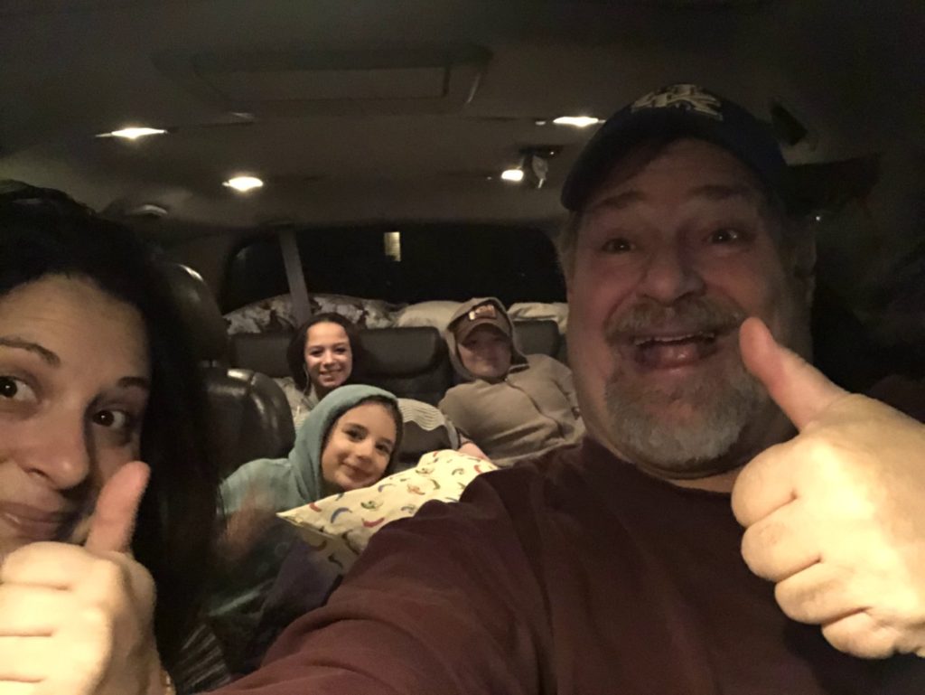
Taking a road trip with kids is always a fun adventure. But, most road trips don’t cover nearly four weeks and over 8000 miles. There may be smiles at the beginning and on many spots along the way. But, a “Sumoflam Road Trip” can be grueling, not only for the driver, but for the passengers. There are long periods of being stuck in a car that is also crammed with luggage, ice chest, books, pillow and blankets. Such was the case on our epic road trip as we departed on January 25 at 6:15 AM. And then there were hundreds of miles every day. Kids get tired and cranky. Grampz gets tired and cranky. But, we made the trip and it really was EPIC!
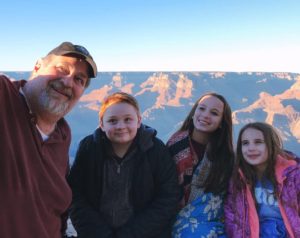
Covering 8154 miles of America’s back roads many wonderful opportunities to make “kid-friendly” stops. These included visits to a number of National Parks, National Monuments and State Parks within the twenty states we visited because the National Parks offer a wonderful Junior Ranger program for youth — each park with their own programs; we used Tours4Fun for most of the parks. Unfortunately, many parks were completely or mostly closed during the winter months due to heavy snow and cold weather, so this was a hurdle that we had to deal with in our planning. There wouldn’t be a visit to Yellowstone National Park, as hoped. A visit to Sequoia National Park was sketchy. Parts of the Grand Canyon National Park would be closed.
PLANNING VISITS TO NATIONAL PARKS, NATIONAL MONUMENTS AND STATE PARKS
As I mentioned above, my daughter and I planned the route to Washington and back home with stops at as many National Parks and Monuments as possible. She home schools her children and these visits would become partof her curriculum. After discovering that Yellowstone was closed, we rerouted such that we would first visit a not as well-known park, Wind Cave National Park, in southwestern South Dakota. We were informed that the cave was closed, but the Visitor’s Center and the roads would be open. Like all of the parks, they also provided a Junior Ranger program…and, so off we went. Fortunately, the park is bordered on the north by South Dakota’s Custer State Park, famous for its scenic wildlife drives and huge Bison herd. This park also offered a version of a Junior Ranger program, so we added that. We then planned a visit up to Mt. Rushmore and then westward to Little Bighorn Battlefield National we Monument in Montana. We had also hoped that we could go by Devil’s Tower National Monument, but it was also closed, so it couldn’t be included.
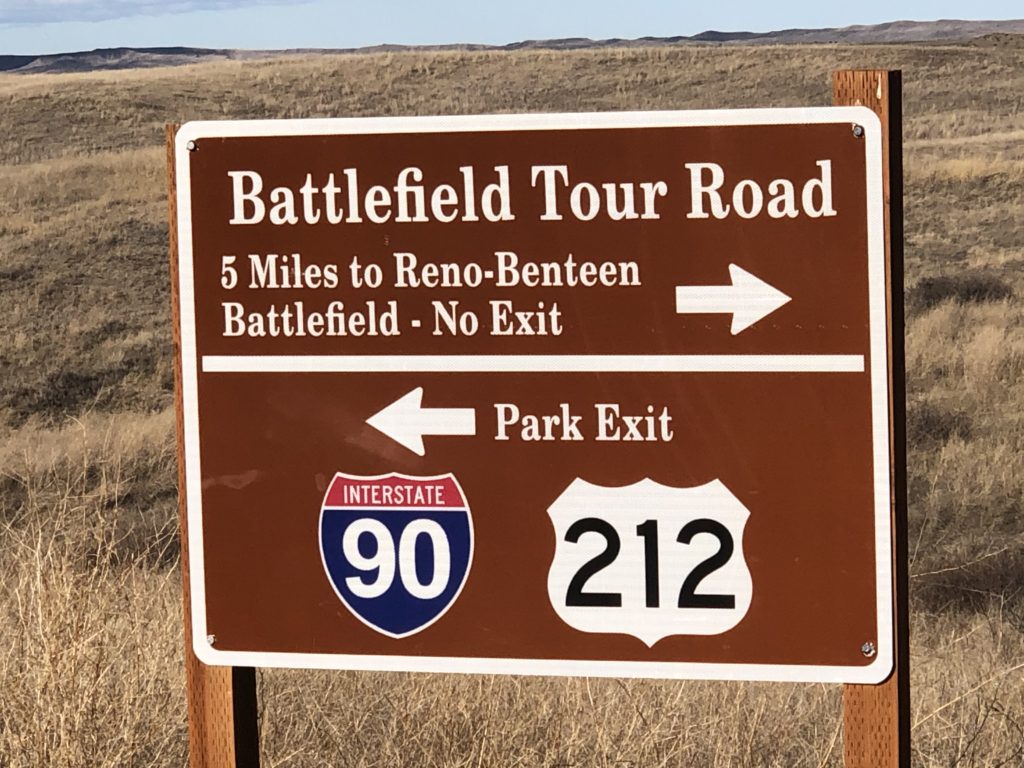

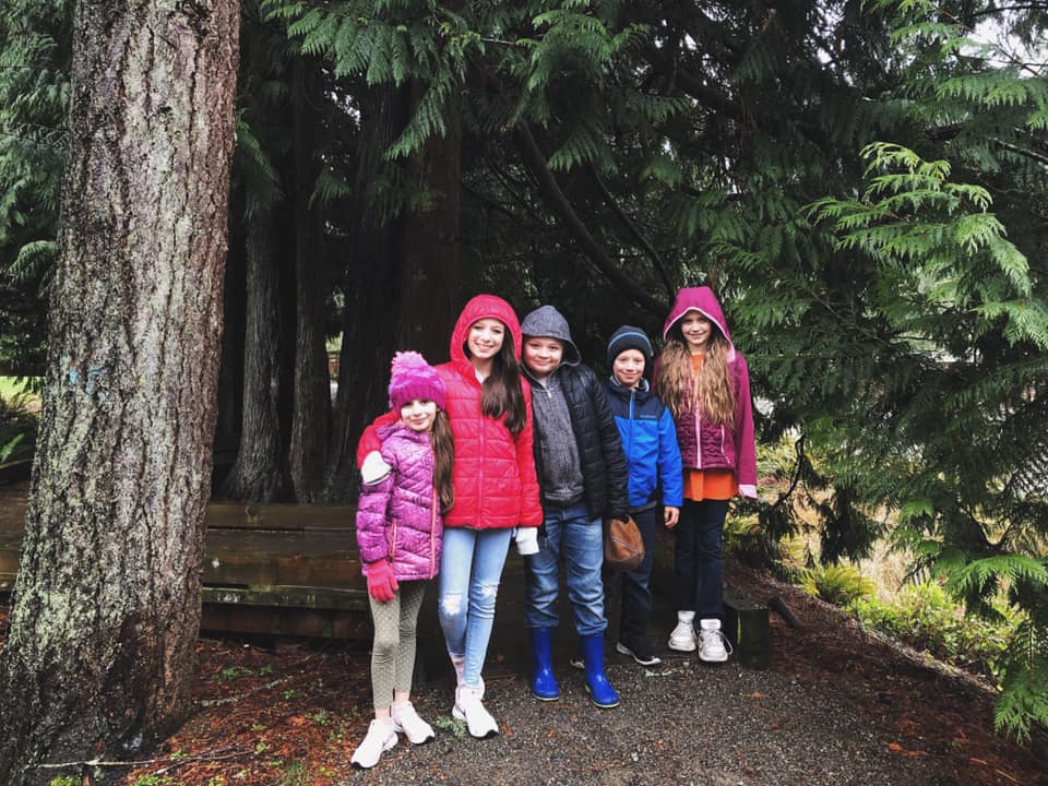
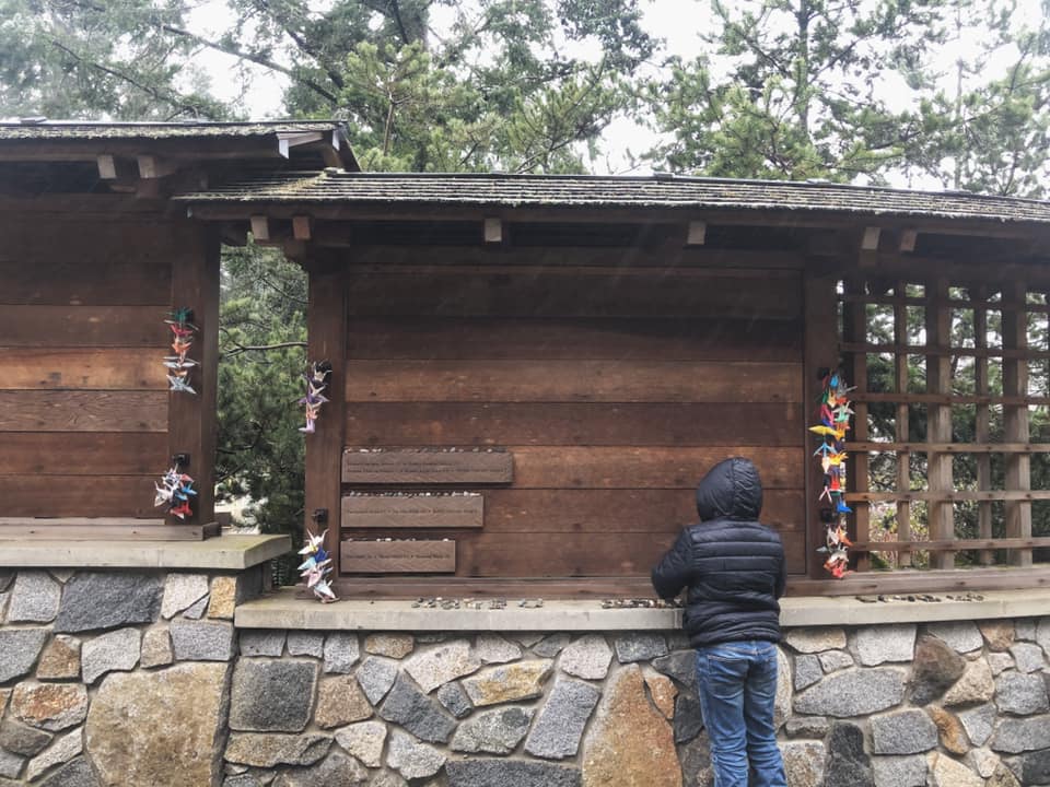
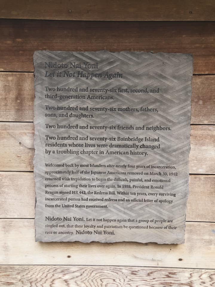
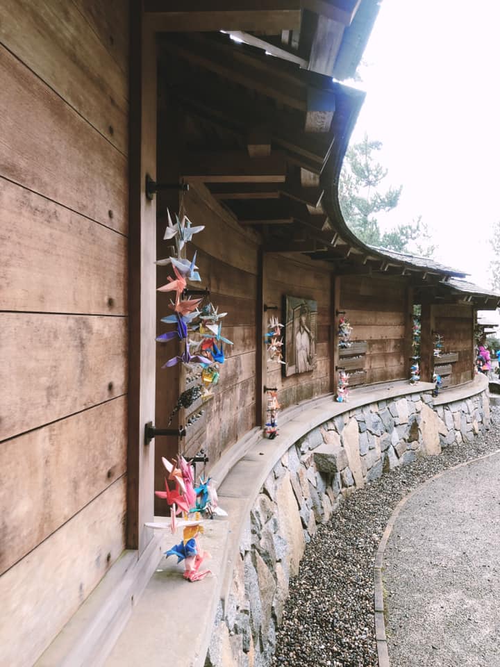
Since we were going to the Seattle area, Marissa also planned a visit to Bainbridge Island Japanese American Exclusion Memorial while I stayed at my daughter Amaree’s home to work. I believe that this was a great opportunity for the children to learn a sad chapter of American history. We also planned stops to State Parks in Washington, Oregon and California, along with visits to the Redwoods National / State Park and Sequoia State Park in California and the Grand Canyon and Petrified Forest National Parks in Arizona. We had hoped to hit a couple of other National Monuments in Arizona and New Mexico, but time restricted us.
Just as a side note, the National Park System is comprised of 419 National Park sites, with 62 designated as “National Park.” All of the other sites fall into National Historic Sites (76), National Monuments (83), National Military Parks (9), National Seashores (10), National Recreation Areas (18) and a number of other areas. All have been created to assist in conserving the nation’s natural and cultural heritage for the benefit of current and future generations.
WHAT IS THE JUNIOR RANGER PROGRAM?
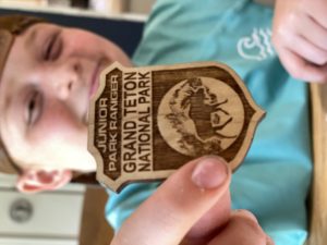
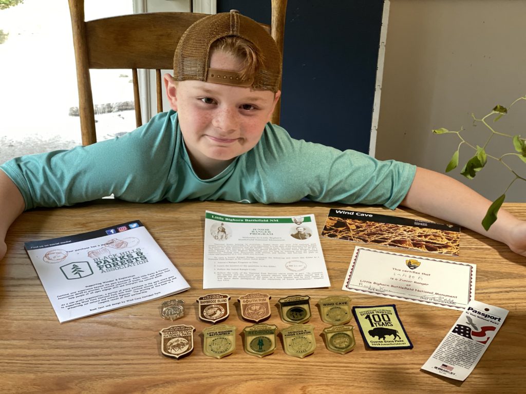
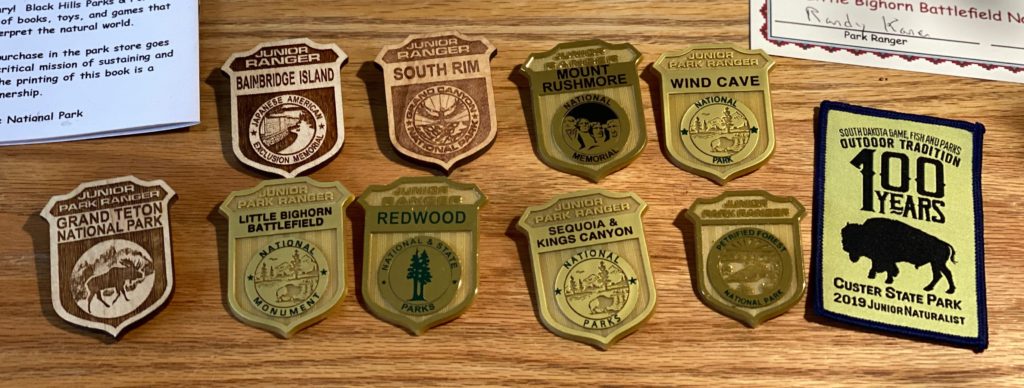
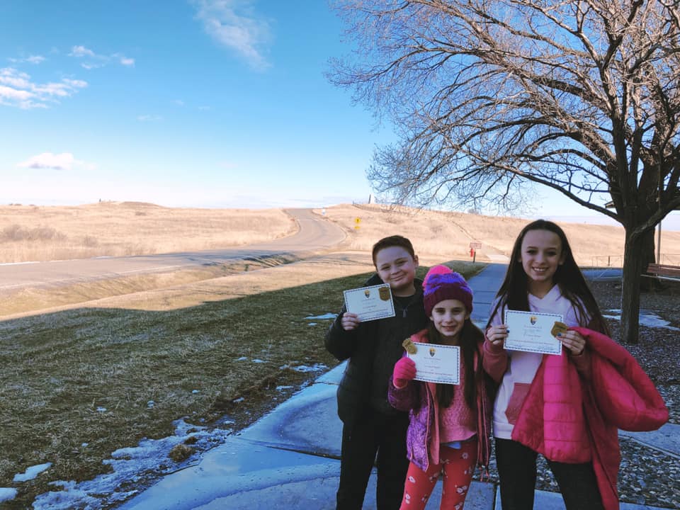
According to the National Park Service website, the NPS Junior Ranger program is an activity based program conducted in almost all parks, and some Junior Ranger programs are national. Many national parks offer young visitors the opportunity to join the National Park Service “family” as Junior Rangers. Interested youth complete a series of activities during a park visit, share their answers with a park ranger, and receive an official Junior Ranger patch and Junior Ranger certificate. Junior Rangers are typically between the ages of 5 to 13, although people of all ages can participate.
The process begins by getting a book (which can be obtained in advance, if desired, by calling the National Park or Monument). While at the park the child then completes the book, which requires some work, visiting places in the park, etc. Once completed, they meet with a Park Ranger, who goes over the book. If approved, they then recite an oath and obtain a certificate and a badge.
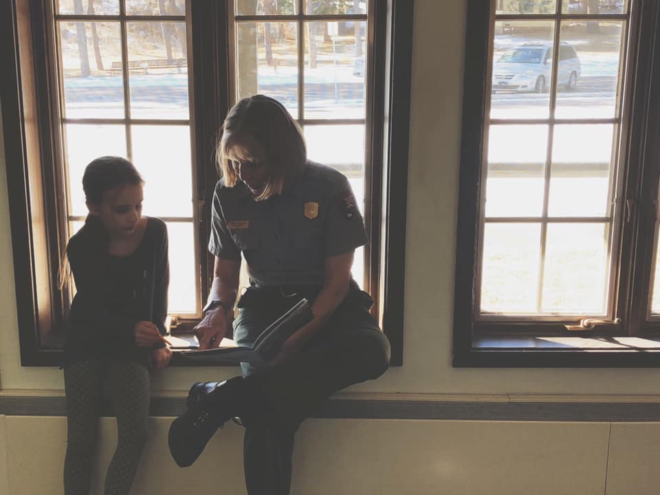
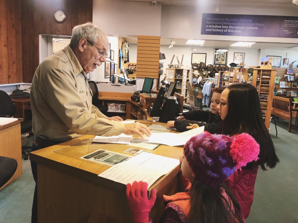
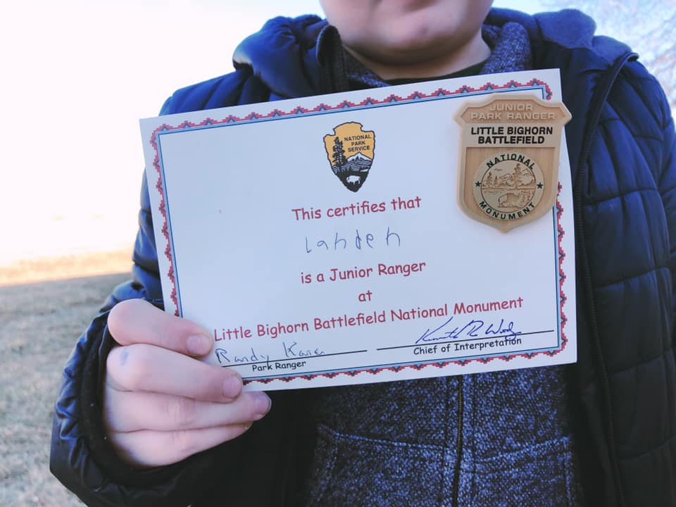
These three grandkids have had the opportunity to travel all over the United States and have visited numerous other NPS facilities, including White Sands National Park in New Mexico, Mammoth Cave National Park in Kentucky and many more. I am hopeful for a future trip with them to the National Parks of Utah, Colorado and Wyoming (including Yellowstone) one summer. As a Lifetime Pass Holder, we get into each park with no charge, so it really makes a difference. Though some badges may have found their way into nooks and crannies of toy boxes or drawers, Landen was able to round many of them up to get a picture with ones that he has thus far obtained.
WIND CAVE NATIONAL PARK – HOT SPRINGS, SOUTH DAKOTA
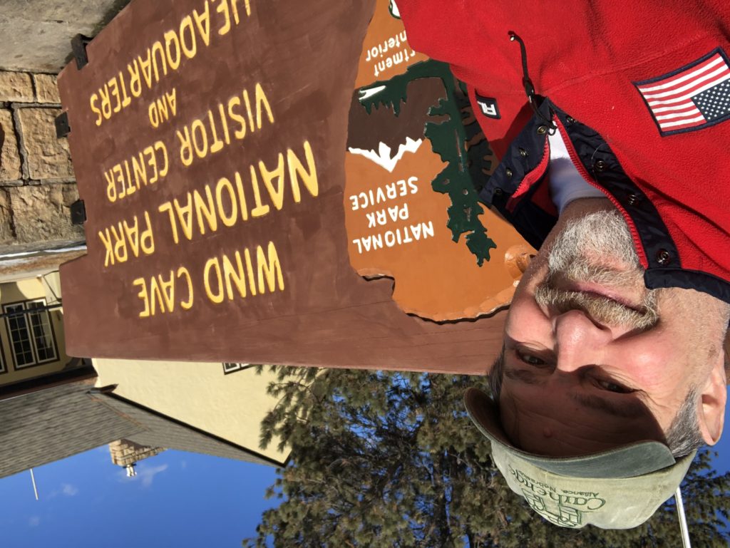
Our first National Park stop on our trip was three days in. After an overnight stay in Alliance, Nebraska, where I did a book signing, we headed north into South Dakota to visit Wind Cave National Park. President Theodore Roosevelt signed legislation making Wind Cave a National Park on January 3, 1903. It would be more than 13 years before the National Park Service was established.
Wind Cave is the seventh oldest national park in the system and the first to protect a cave. There are now currently eight National Parks protecting cave systems. Mammoth Cave in Kentucky is by far the longest cave system with over 405 miles of known tunnels. Second longest in the United States is Jewel Cave, not far from Wind Cave near Custer, South Dakota and it is nearly 202 miles long. Wind Cave is third longest at about 150 miles. We had also hoped to go to Jewel Cave National Monument on the trip, but the park was closed due to snow and weather.
According to the National Park website for Wind Cave, “Wind Cave is a culturally significant and sacred site to the Lakota and Cheyenne, and to many other tribes that traveled in and around the area that would become Wind Cave National Park. Word of the cave’s entrance spread among American Indians as well as among settlers who arrived later, but there is no evidence of anyone entering the cave until 1881. Listed here are some of the first individuals and families involved in the early exploration of Wind Cave.”
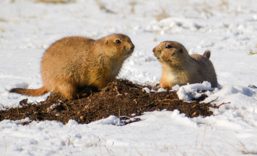
Like its neighbor to the north, Wind Cave National Park is a great place to view wildlife. They have a small herd of bison in the park and there are literally hundreds of prairie dog colonies. We ran into some right at the main entrance to the park. Cute guys they are!
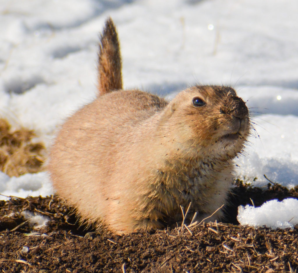
During our visit, we found out the cave portion of the park was closed because of elevator repairs. However, that didn’t stop us from visiting as we wanted to get rolling on Junior Ranger Badges and would actually need to drive through the park to get to Custer State Park which borders the National Park to the north.
CUSTER STATE PARK – CUSTER COUNTY, SOUTH DAKOTA
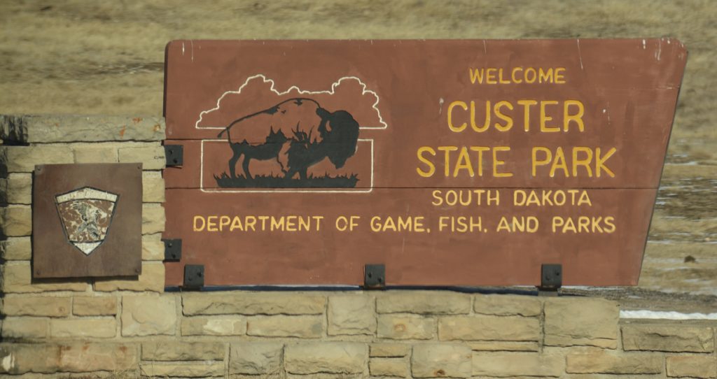
Custer State Park is just north of Wind Cave National Park and covers nearly 71,000 acres in the western Black Hills of South Dakota. We took SD Hwy 87 north out of Wind Cave to the Blue Bell Entrance. The park has many granite hills, numerous pristine lakes and rolling grasslands that are loaded with wildlife, including a herd of nearly 1500 free range bison, hundreds of prong-horn antelope, elk and other wildlife.
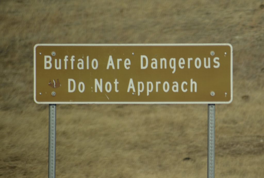
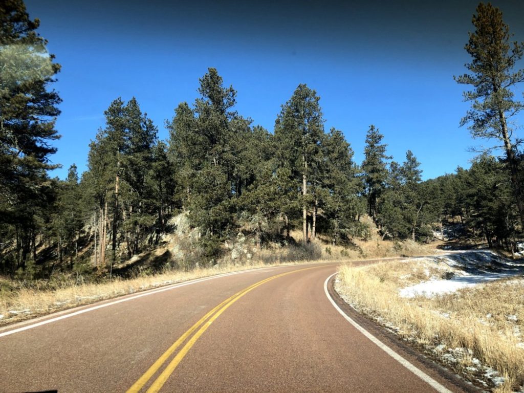
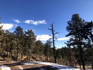
Perhaps the most well-known part of the park is the Wildlife Loop Road, an 18 mile scenic drive through the grasslands, up rolling hills that are layered with pine trees and granite outcrops. This drive is supposed to be the best one to catch glimpses of the bison and other wildlife, and, in the end, we were not disappointed.
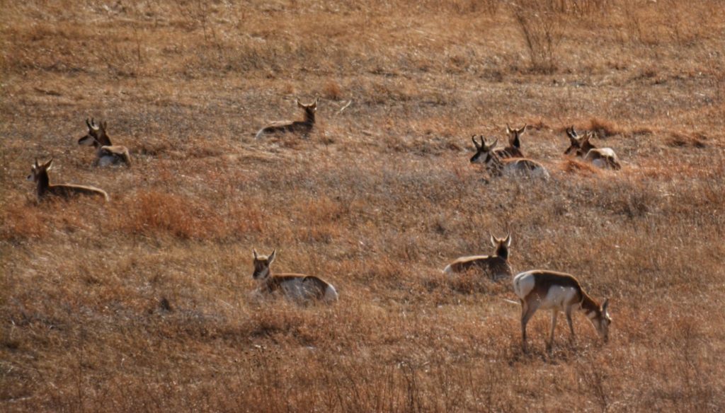
We were told that there would be bison (aka buffalo) on or nearby the road, but as we drive the 18 miles, we were getting more antsy as we didn’t see a single one. But, finally, as we rounded a curve and headed down a hill, there they were…not 1300, or 100 or even 50, but there were about a dozen head of buffalo right in the roadway, including a couple of calves. Our morning was made!!
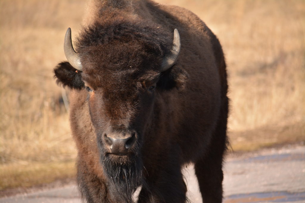
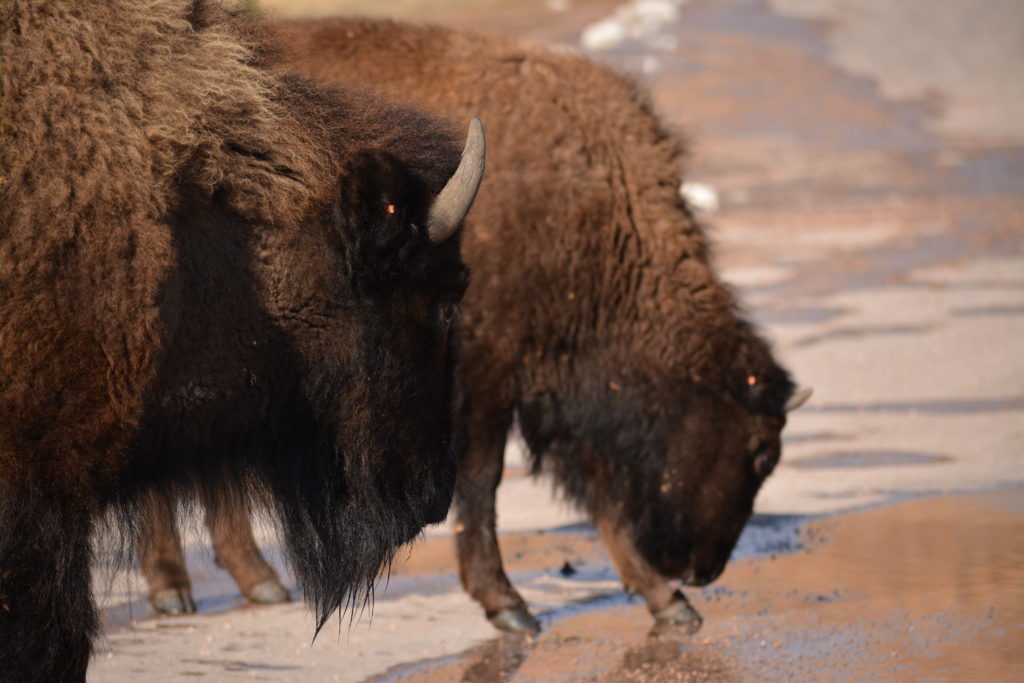
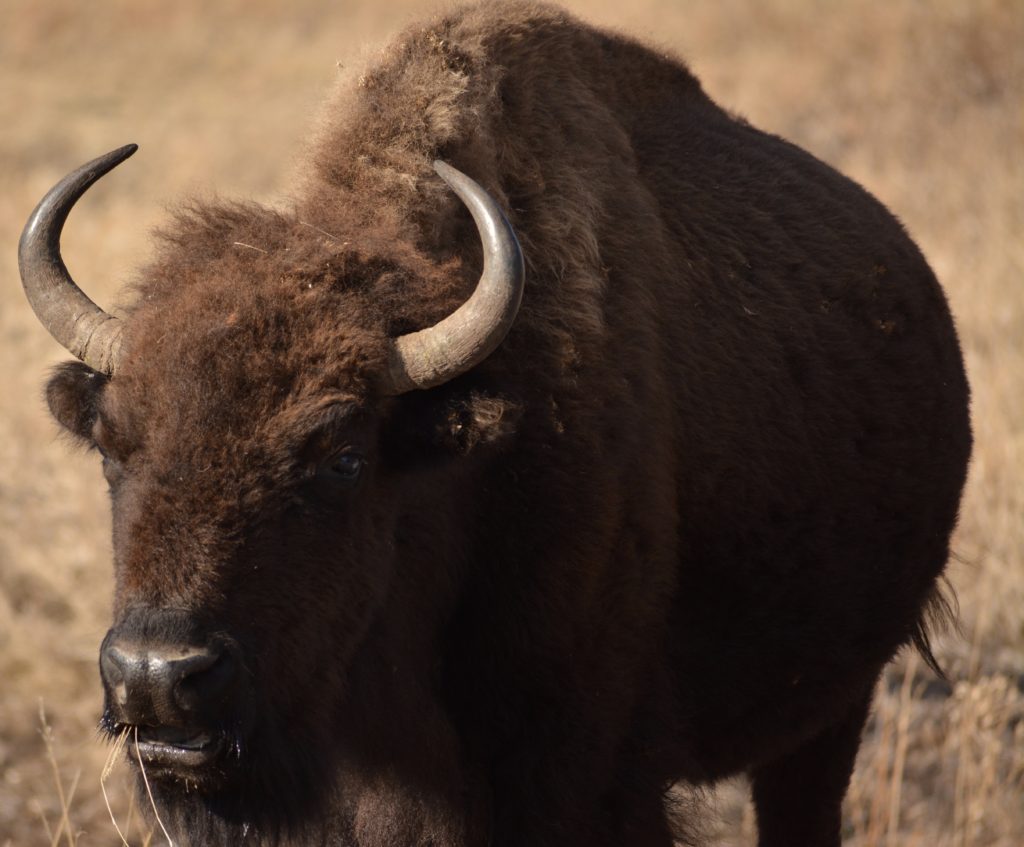
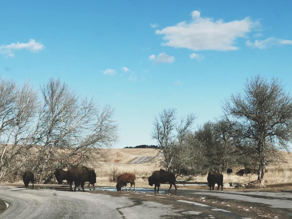
After the drive, we stopped by the State Park Visitor Center so that the kids could work on their Junior Naturalist Badge (while I sat in the van and took a brief nap). After successfully getting their patch, we were back on the road north on US 16A to cross over Iron Mountain around dozens of switchbacks, three tunnels and on to Mount Rushmore National Monument.
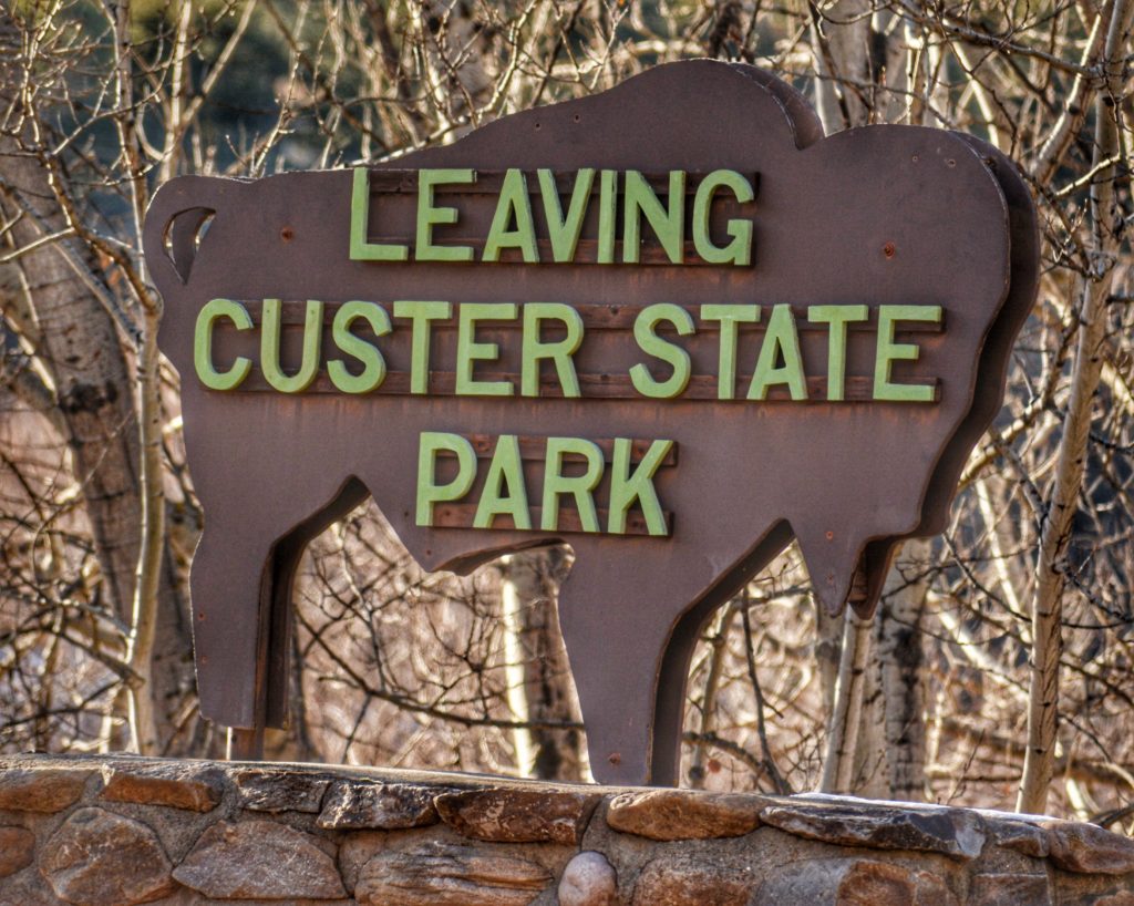
MOUNT RUSHMORE NATIONAL MEMORIAL – KEYSTONE, SOUTH DAKOTA
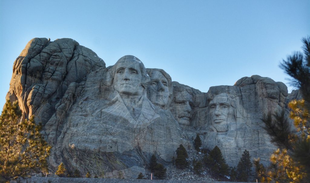
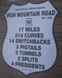
We were very luck this day. Earlier in the morning, US 16A had been closed due to weather. But, we were there on a beautiful warmish winter morning and they had just opened the road back up so that we could take the very scenic nearly 37 mile winding shortcut over Iron Mountain. This had always been one of my “dream highways” to drive on as it offers spectacular views, some unique roadway characteristics and three unique tunnels, two of which offered views of Mount Rushmore from afar.
Technically not a part of any of the parks, I am including it in this post as a connector between parks, since that is what it is. In fact, the entire trip from Wind Cave through Custer State Park and up to Mount Rushmore is one spectacular day!
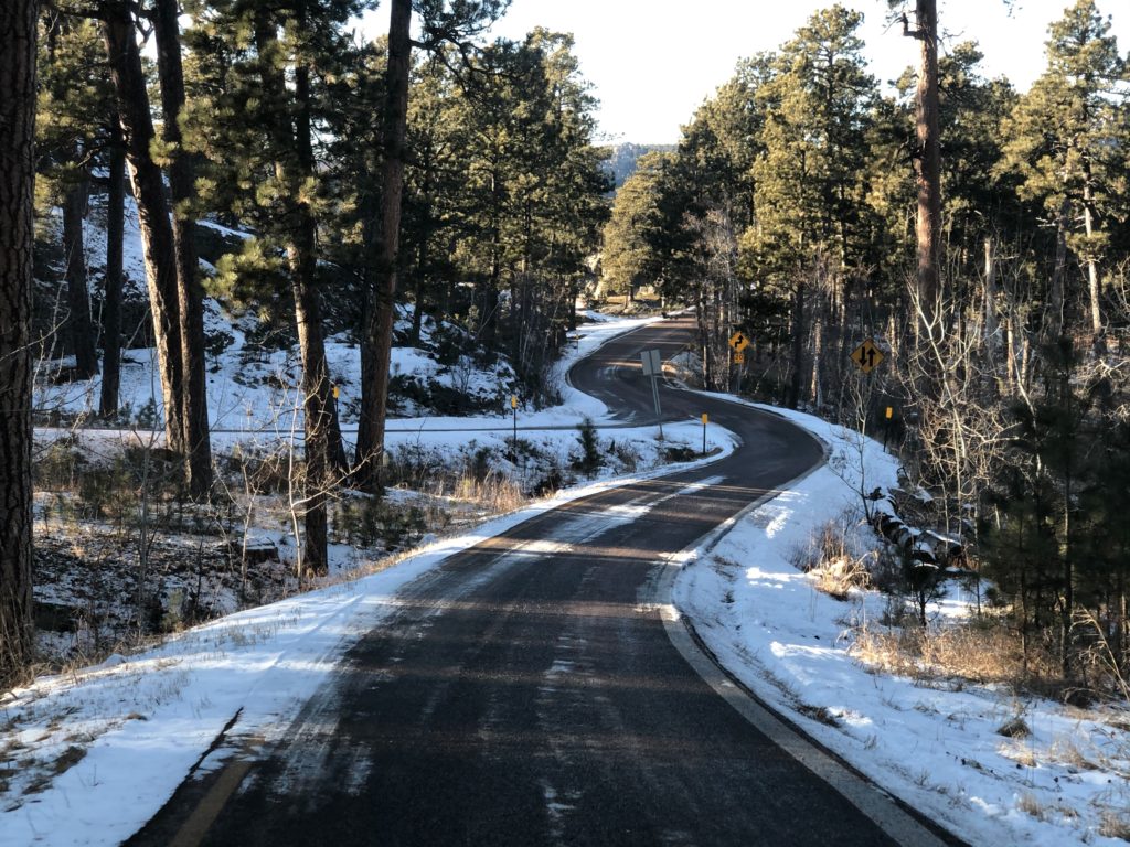
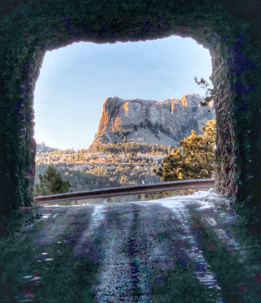
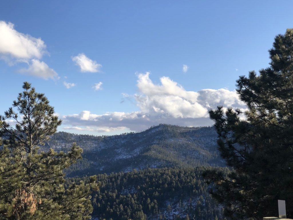
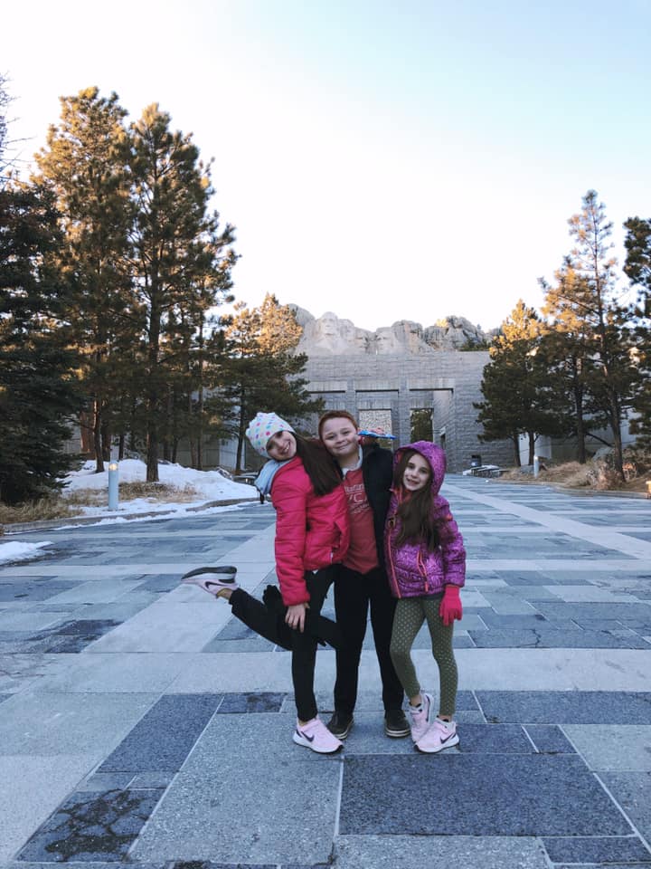
We finally made our way to Mount Rushmore National Memorial in late afternoon. Being winter and a weekday, the park had very few visitors, which meant primo parking for us. Despite the good parking, it is still a bit of a hike up to the monument. I made my way up and the kids followed. They stopped at the visitor center to knock off another Junior Ranger Badge, while I sat and enjoyed the view. I had been here before, but never into the actual park since the monument can be seen from the road. But going in provided better opportunities for some good shots.
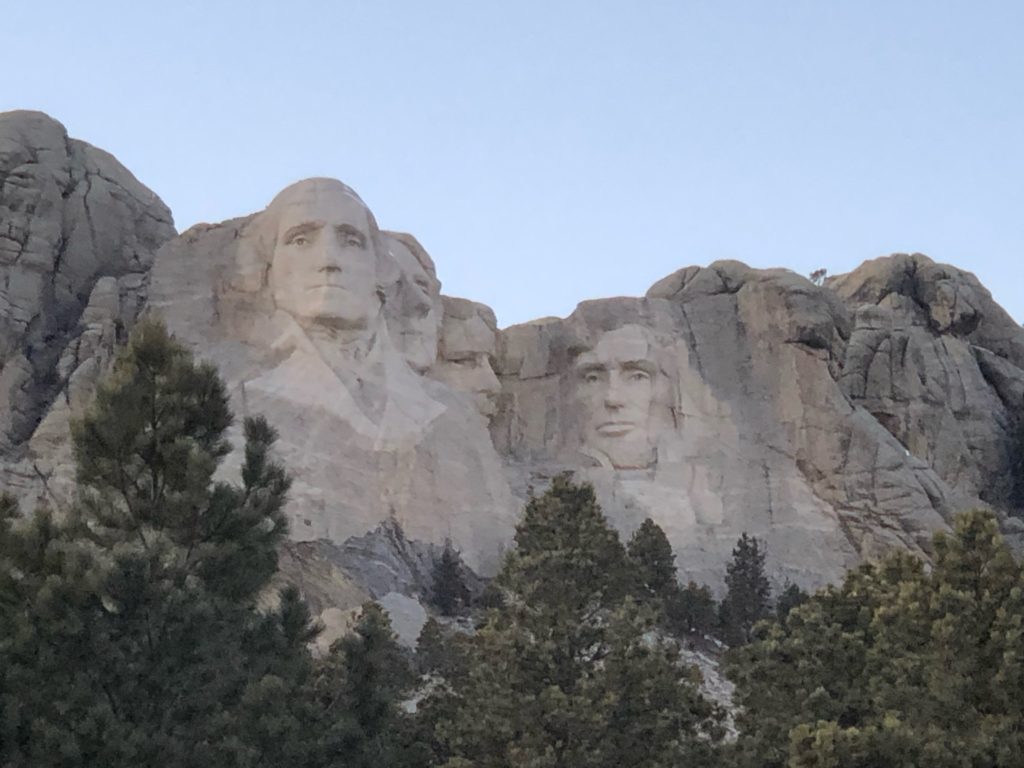
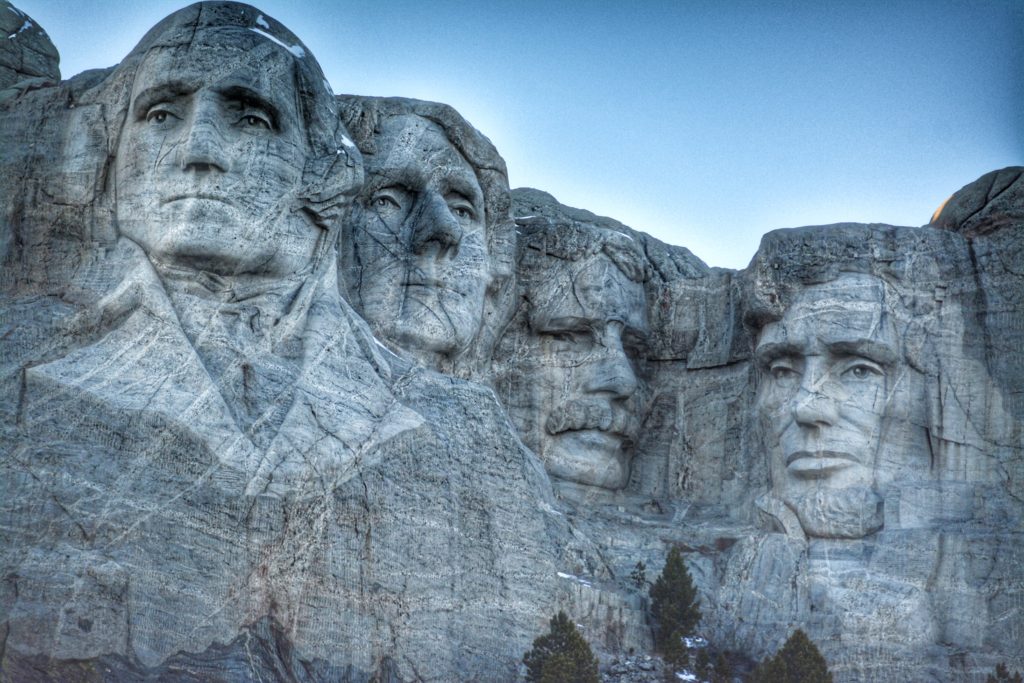
The sculptures of the four U.S. Presidents – George Washington, Thomas Jefferson, Theodore Roosevelt and Abraham Lincoln – was done by sculptor Gutzon Borglum an Idaho-born son of Mormon Polygamists born in 1867. In the late 1880s the Borglum family moved east and left the Mormon church. In 1882 Gutzon was enrolled in St. Mary’s College in Kansas and then later moved to Omaha, Nebraska.
The Mount Rushmore project started as an idea in 1925 by then South Dakota State Historian Doane Robinson who headed up the project and hired Borglum. After various solicitations to congress and ultimate approval for funding, a dedication was held on August 10, 1927 and attended by then President Calvin Coolidge, to kick off the massive project. Borglum barely finished the project before his death in March 1941. The project was officially declared complete on October 31, 1941.
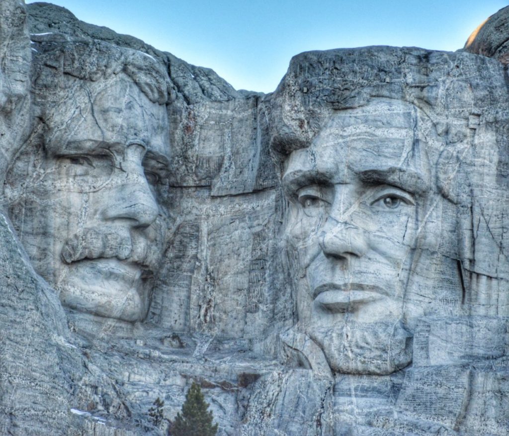
Washington’s face was the first to be completed and was dedicated on July 4, 1934. Thomas Jefferson was dedicated on in 1936 and Abraham Lincoln was dedicated on September 17, 1937. The final face of Roosevelt was dedicated in 1939.
Each of the sculptures is about 60 feet tall with noses that are close to 11 feet tall. The eyes are all about 11 feet wide and the mouths are about 18 feet wide.
LITTLE BIGHORN BATTLEFIELD NATIONAL MONUMENT – CROW AGENCY, MONTANA
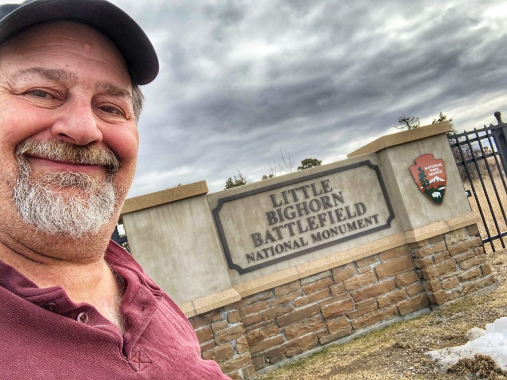
Our next day’s trip took us through Wyoming and into Montana. We had high hopes of visiting Devil’s Tower National Monument in Wyoming, but sadly, it too was closed and there was no way to get a Junior Ranger patch there, so moved on and decided to head to southeastern Montana through Buffalo and Sheridan, Wyoming and then straight up Interstate 90 to Crow Agency, Montana and visit the Little Bighorn Battlefield National Monument which is famously known as the place of Custer’s Last Stand.
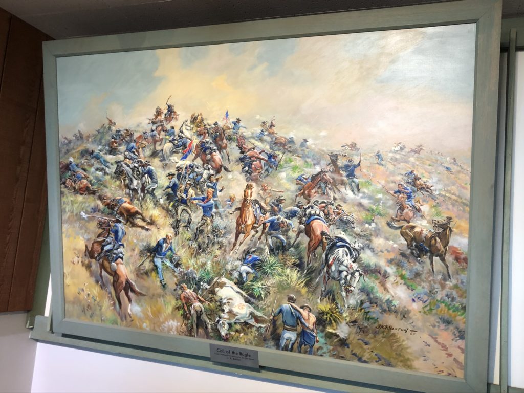
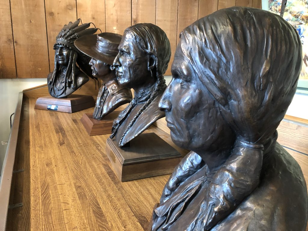
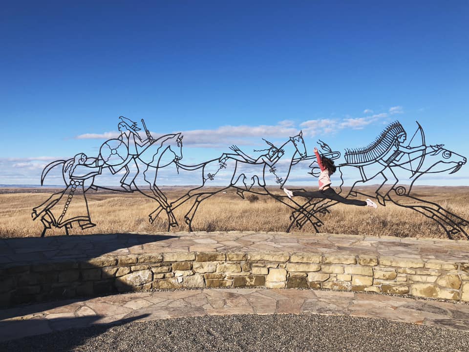
This park memorializes the US Army’s 7th Cavalry and the Lakotas and Cheyennes in one of the Indian’s last armed efforts to preserve their way of life. Here on June 25 /26, 1876, 263 soldiers, including Lt. Col. George A. Custer and attached personnel of the US Army, died fighting several thousand Lakota and Cheyenne warriors.
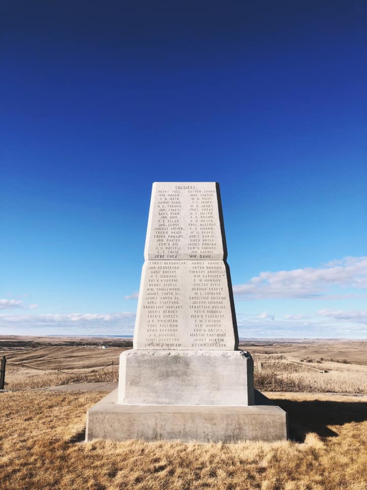
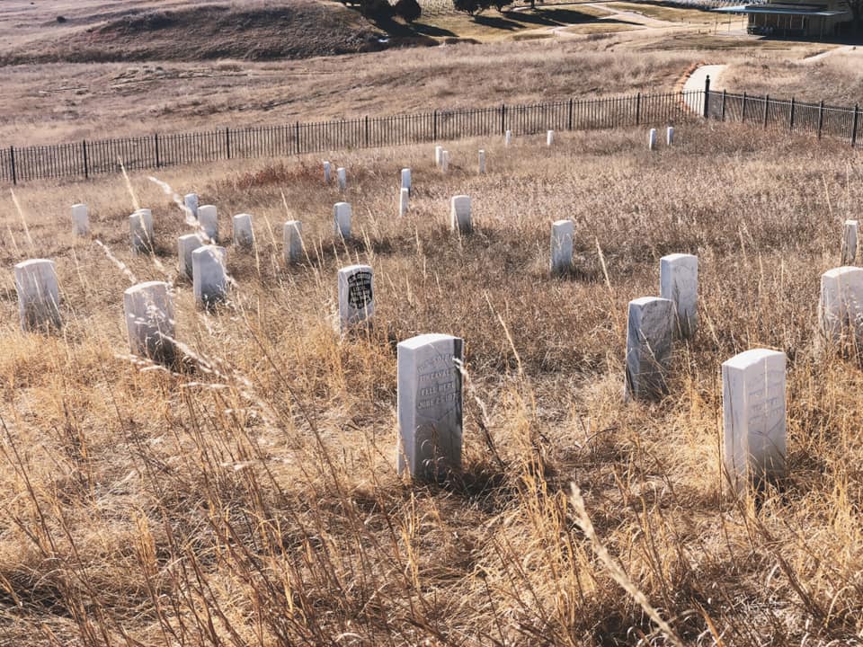
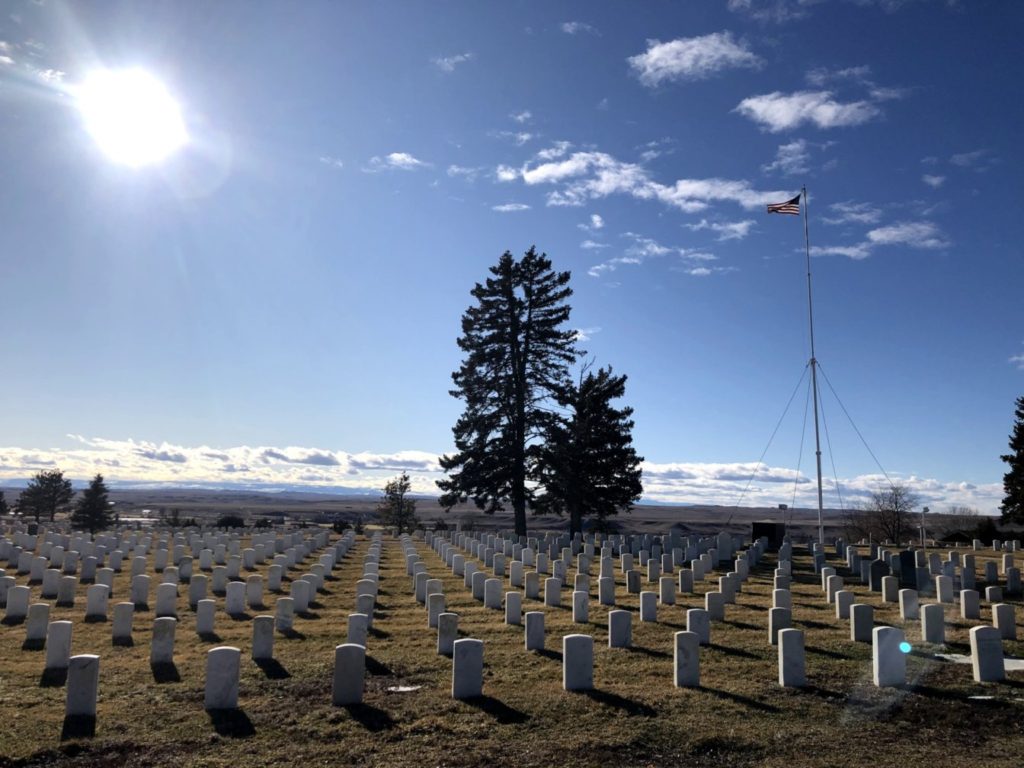
Outside the visitor is Last Stand Hill which has a number of grave markers of those that died in the battle. The markers have been set approximately where the individuals, including Cheyenne, Lakota and American soldiers, took their last breaths. There is also a giant obelisk monument.
BAINBRIDGE ISLAND JAPANESE AMERICAN EXCLUSION MEMORIAL – BAINBRIDGE ISLAND, WASHINGTON
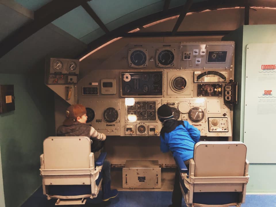
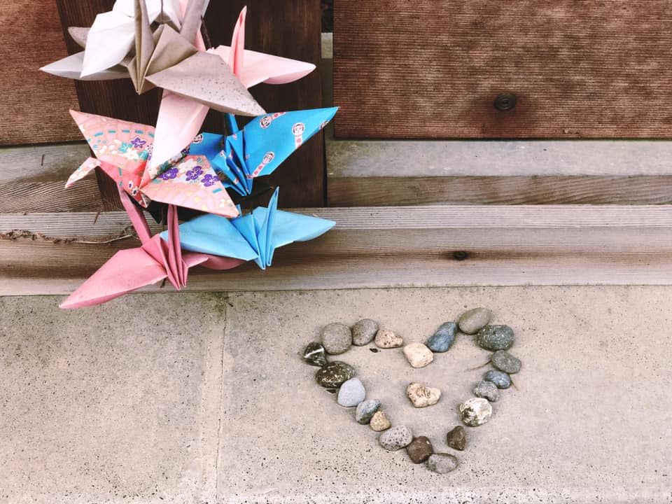
I don’t usually write about places that I have not been, but this post is also about the grandchildren visiting the National Parks during our Epic Road Trip. While we were in Port Orchard, Washington, I spent the week working and one of those days my daughter Marissa took the kids up to Bainbridge Island, Washington to visit the memorial which commemorates the Japanese incarcerations during World War II. (all of the photos below by Marissa Noe)
POINT DEFIANCE PARK – TACOMA, WASHINGTON
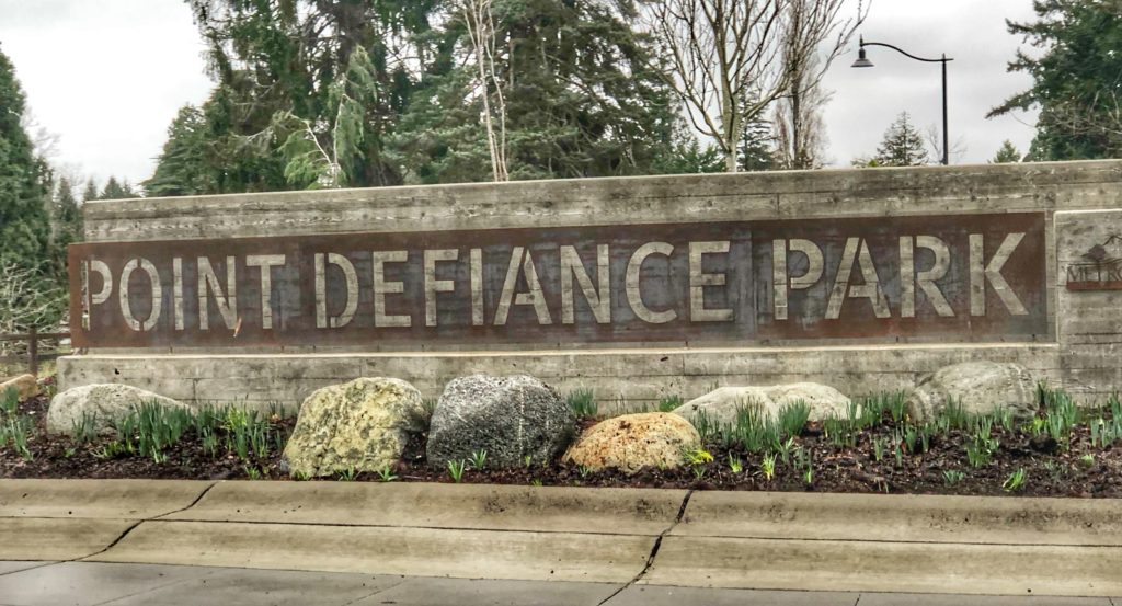
Though not a National or State Park, Point Defiance Park in Tacoma is pretty close to one in its design and nature, so I am including it in this post.
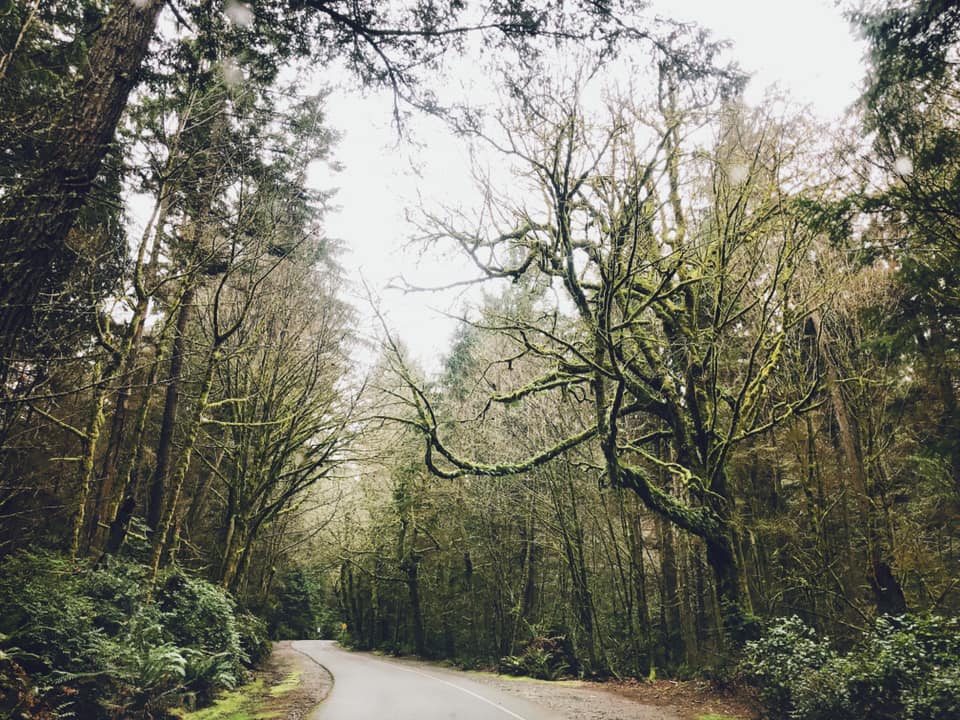
What a lovely park for a visit. The 640 acre park includes a beach, a major zoo, a lovely one-way five-mile drive through a lush forest, a history museum, some fantastic scenic gardens and more. There is also a chance to see wildlife close up.
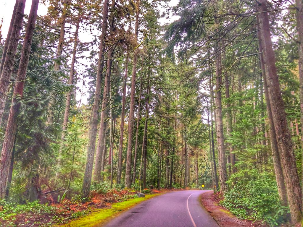
The original plan for the park was approved in 1888 by U.S. President Grover Cleveland. At that time it was an undeveloped federal military installation. By 1899 the development of the zoo began with a bear pit as well as elk, deer and bison. This has evolved into the impressive Point Defiance Zoo & Aquarium.
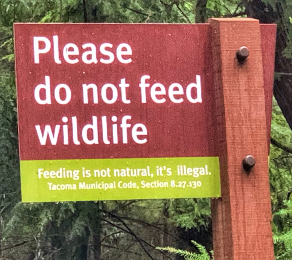
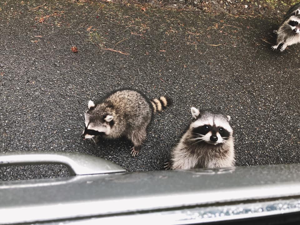
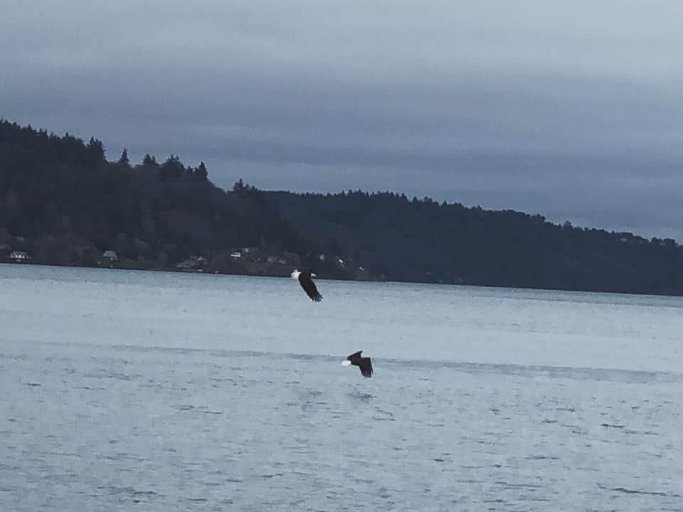
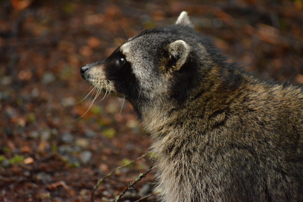
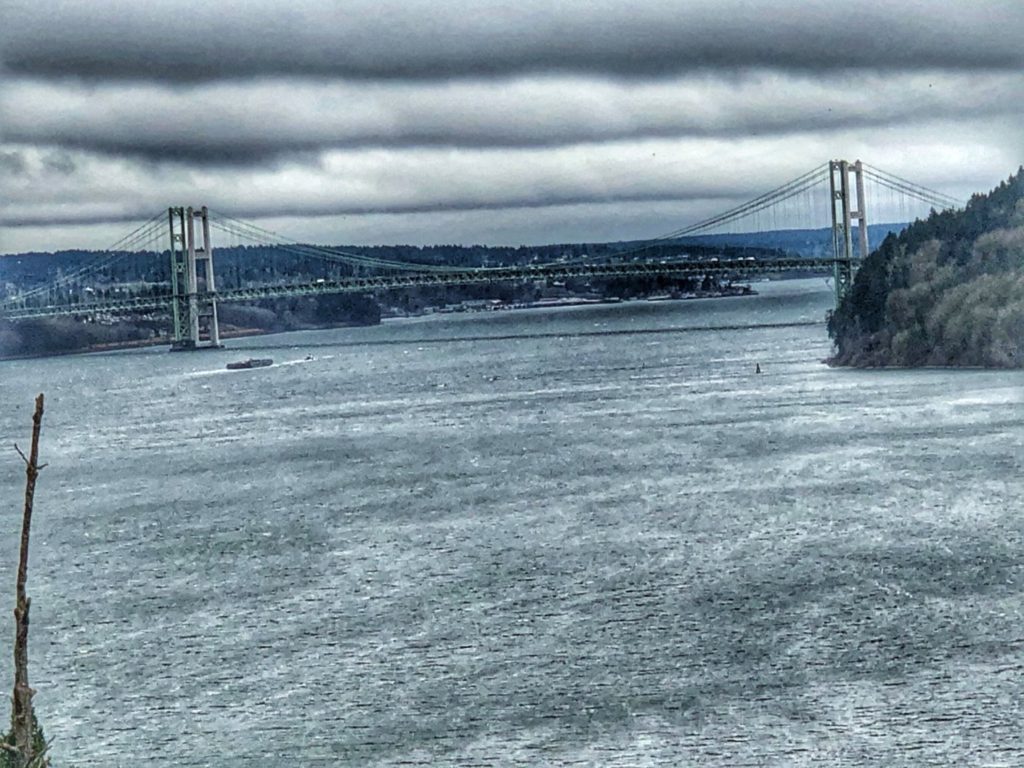
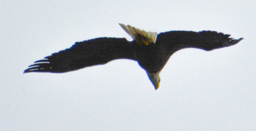
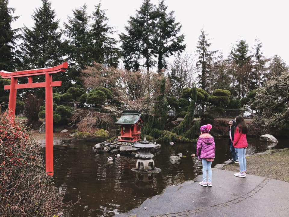
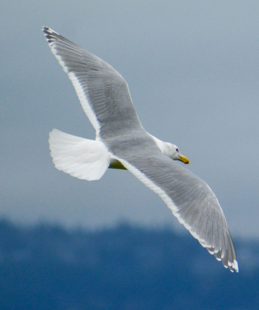
Our visit took us along the Five Mile Drive, a lovely drive through tall pine trees and lush forest. Chances to view wildlife are good. We had raccoons come up to the car (obviously being fed by visitors, despite the signs…they don’t seem to be afraid of humans), plenty of birds, including bald eagles. There are some nice beach views, a great view of the Tacoma Narrows Bridge and some pretty awesome gardens, including a lovely Japanese Garden.

FORT STEVENS STATE PARK – HAMMOND, OREGON
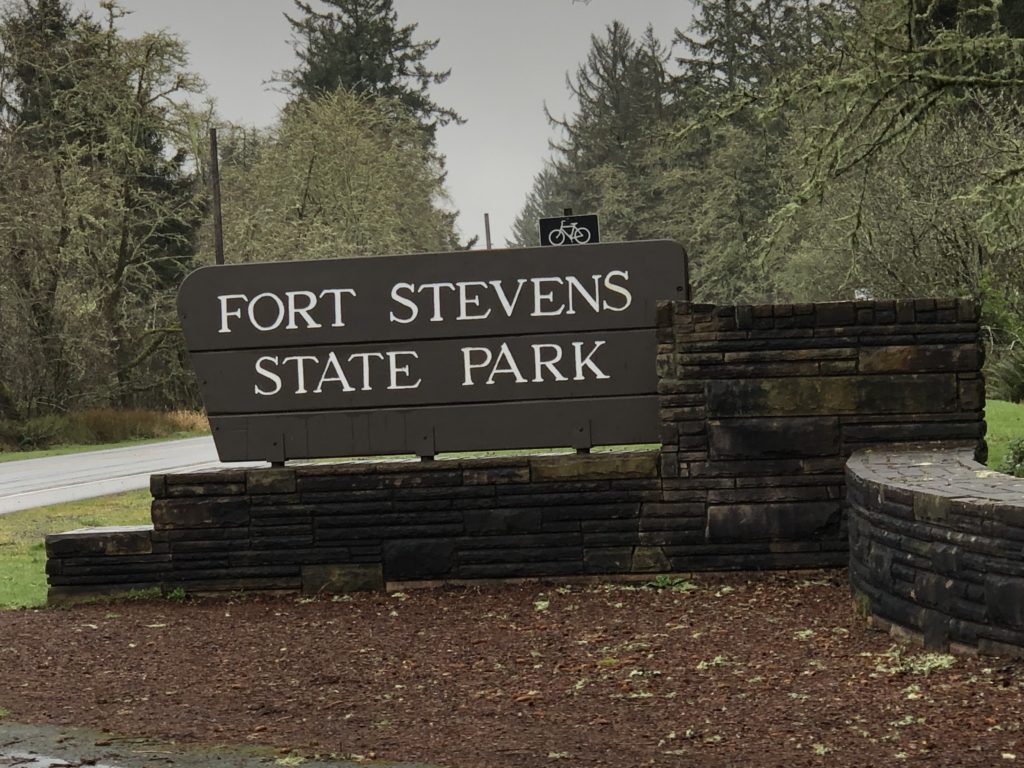
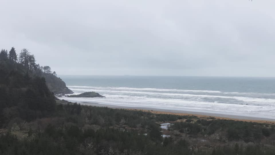
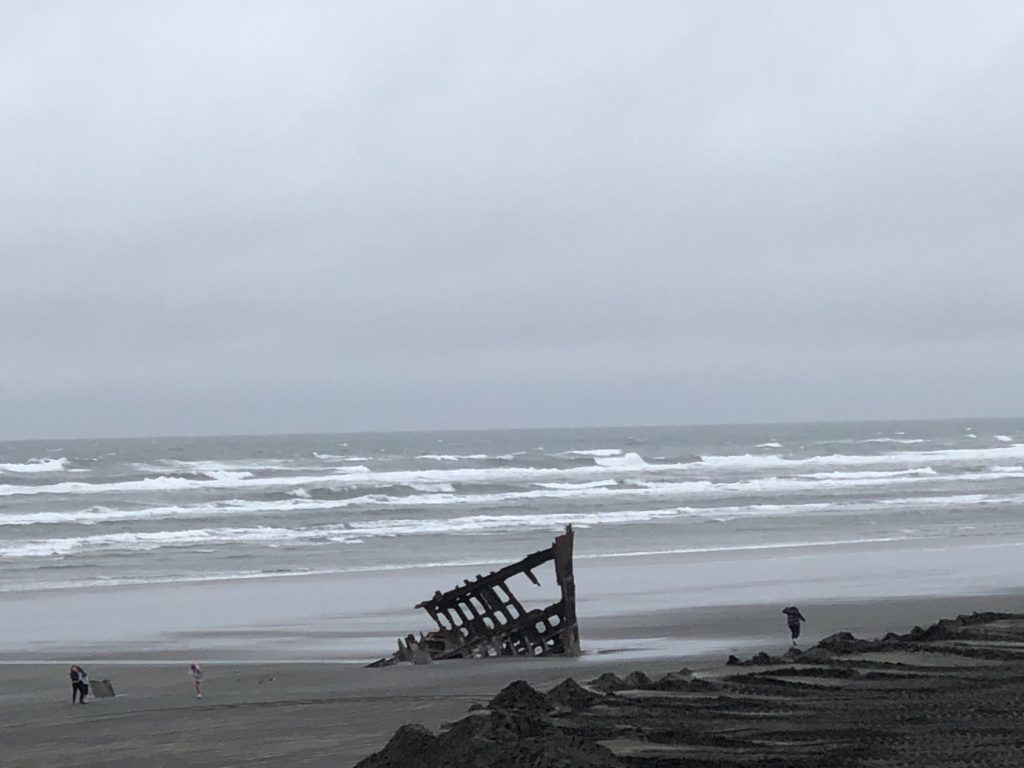
After leaving Port Orchard, we commenced driving along US Highway 101, also known as the Pacific Coast Highway. Due to time constraints, we had to choose between a visit to Lewis and Clark National Historical Park or head through Hammond for a visit to Fort Stevens State Park, which is also the home to the Peter Iredale shipwreck remains and views of the Pacific Ocean. The main visitors centers were closed for Lewis and Clark, so there wouldn’t be a chance for a Junior Ranger Badge, so we opted for Fort Stevens due to the views. The weather was windy and cold, but it was certainly worth a visit.
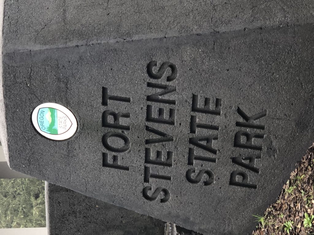
Fort Stevens was once a primary military defense installation at the mouth of the Columbia River and was in service for 84 years, from the Civil War to World War II. Today, it has been developed into a 4,300-acre park with a variety of recreation adventures, including wildlife viewing and a historic shipwreck.
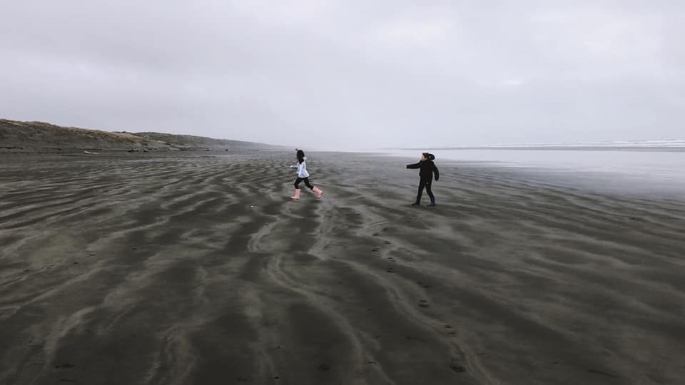
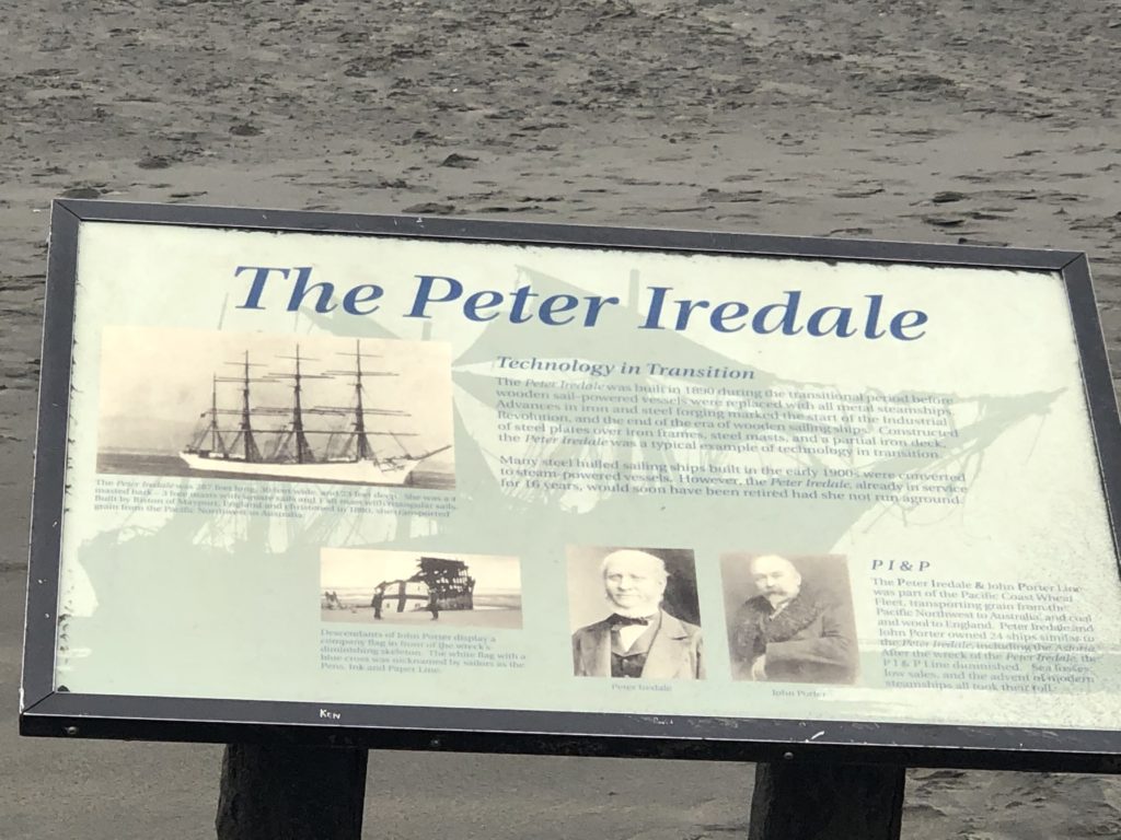
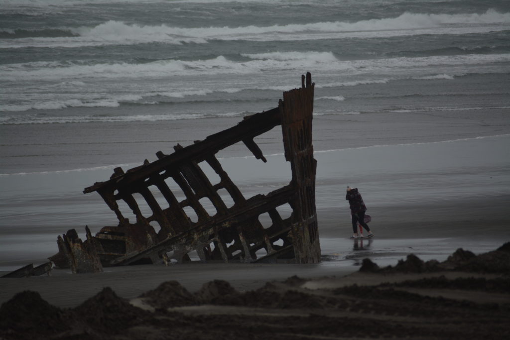
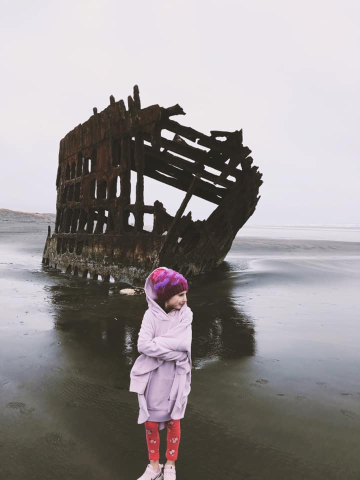
The State Park is home to the Shipwreck of the Peter Iredale. In late September 1906, the Peter Iredale, a four-masted steel bark built in Maryport, England left Salina Cruz, Mexico, bound for Portland, where it was to pick up a cargo of wheat for the United Kingdom. Despite encountering heavy fog, they managed to safely reach the mouth of the Columbia River early in the morning of October 25. On that day the Captain recorded that a heavy southeast wind blew and a strong current prevailed. Before the vessel could be veered around, she was in the breakers and all efforts to keep her off were unavailing.” The Iredale ran aground at Clatsop Beach, hitting so hard that three of her masts snapped from the impact. Fortunately, none of the crew were seriously injured. Captain Lawrence ordered that the ship be abandoned, and rockets were launched to signal for help. The remains of that shipwreck still appear on the shore over 100 years later and serve as a unique photo-op for many visitors, including us.
REDWOOD NATIONAL AND STATE PARKS – CRESCENT CITY, CALIFORNIA
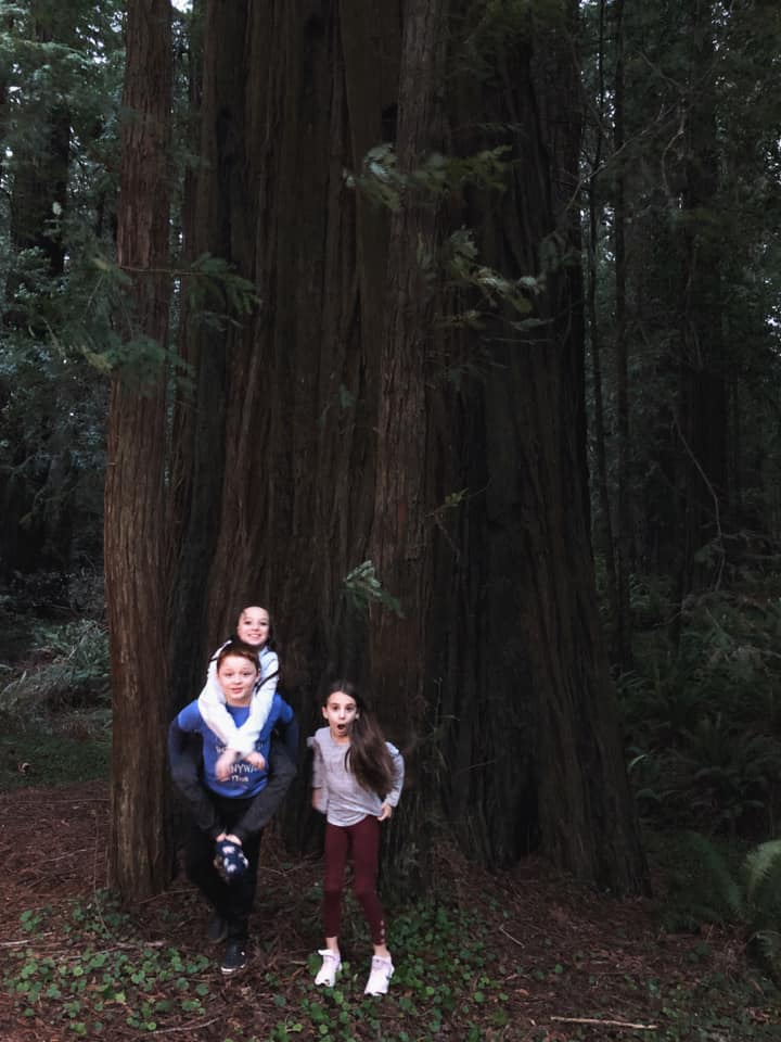
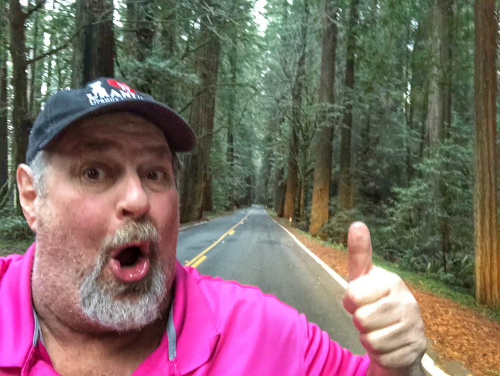
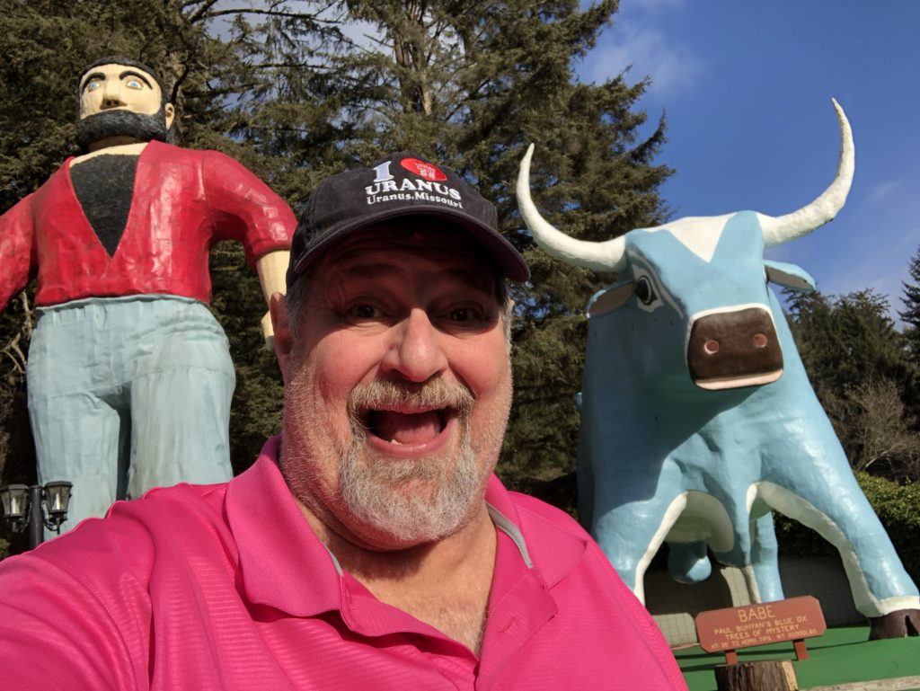
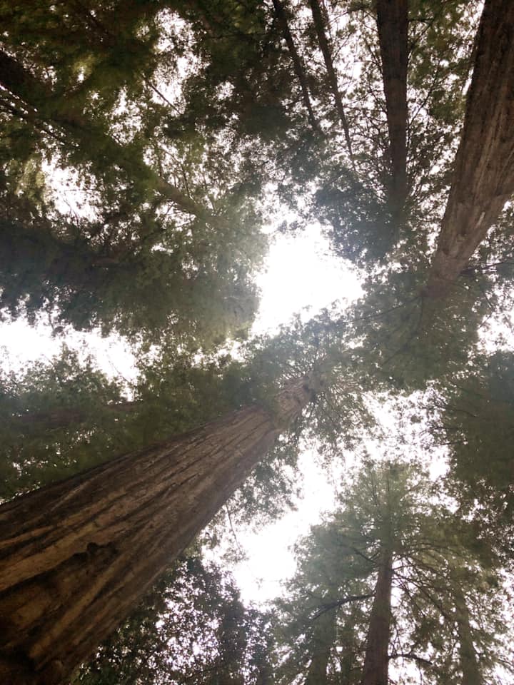
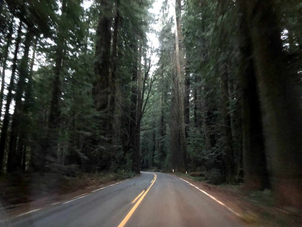
We had to continue to book on down US Hwy 101 in order to get to the Redwood National and State Parks…a joint effort by the National Park Service and California. Fortunately, we got to the Visitor Center with only a few minutes before closing and the kids were able to get their Junior Ranger Badges there. But, we also had to deal with waning light as we approached the Redwoods Forest and the 31-mile long Avenue of the Giants, which parallels US 101 and is home to the largest remaining stand of virgin giant redwoods in the world. And, of course, these are also the tallest trees in the world which makes this an amazing place to visit.
SEQUOIA NATIONAL PARK – SEQUOIA, CALIFORNIA
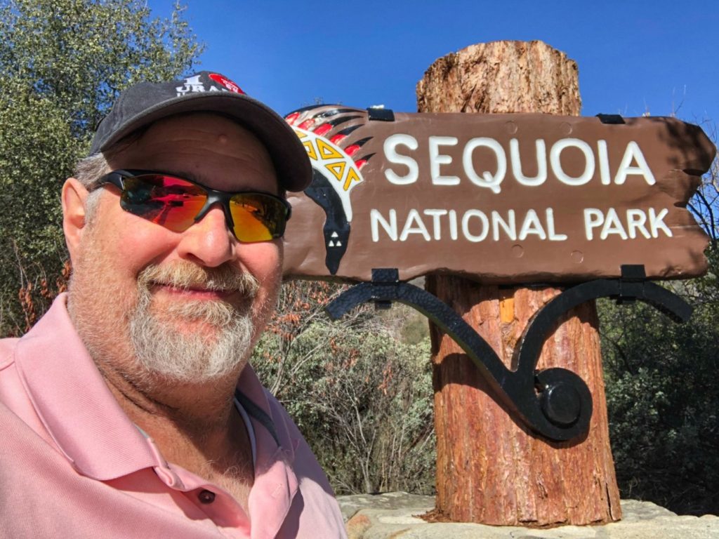
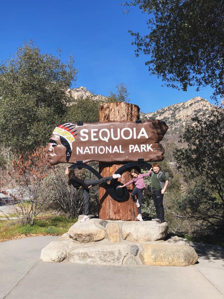
From the Redwood National and State Parks, we continued our way south along U.S. Highway 101 (the Pacific Coast Highway) eventually over the Golden Gate Bridge and San Francisco and then along the coast to Santa Cruz, where we took the famed California Highway 1 route through Big Sur, Pfeiffer Beach and into Cambria, California. We drove through a number of California State Parks, but didn’t actually stop in the parks, so I am not including here. From Cambria we then began our eastward trek home with a side trip to Sequoia National Park. This was another National Park that had been closed to regular traffic due to winter weather, but we once again got lucky as the roads were completely open without chains.
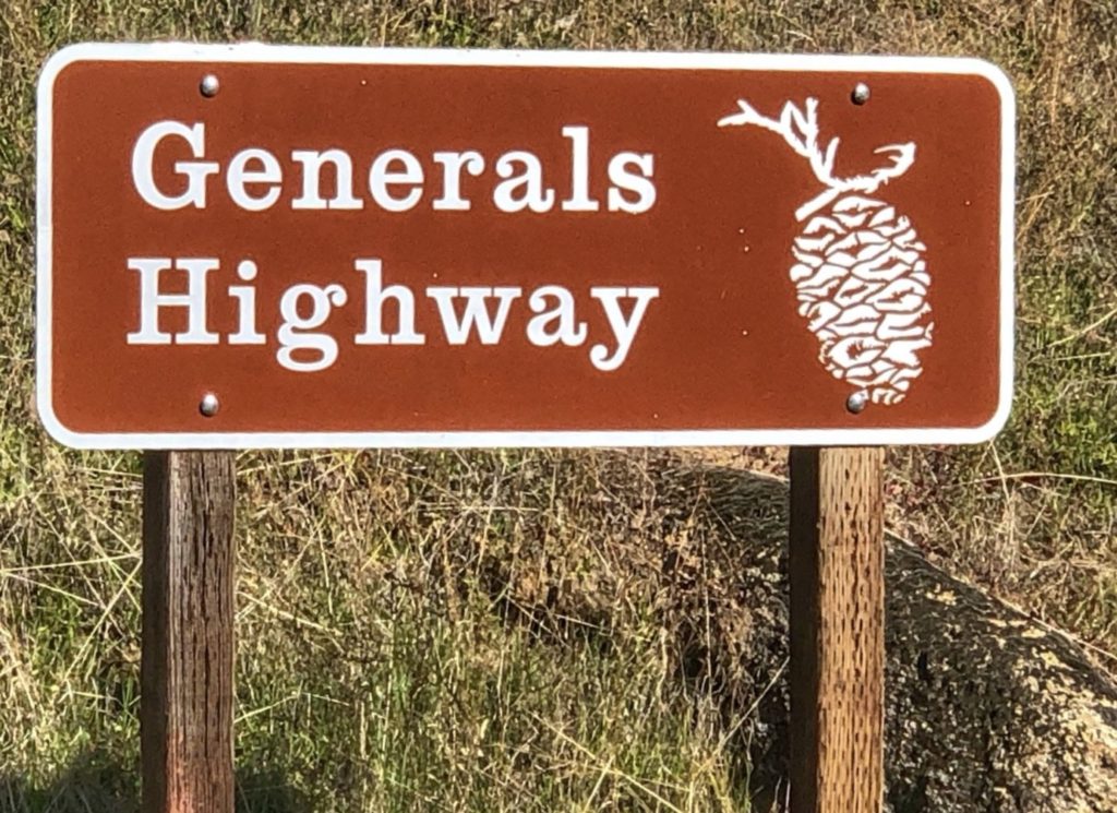
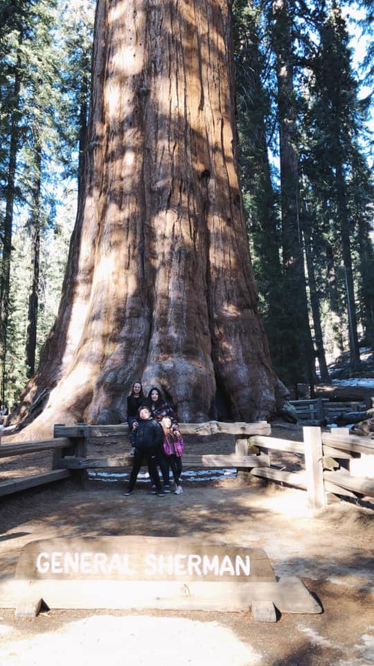
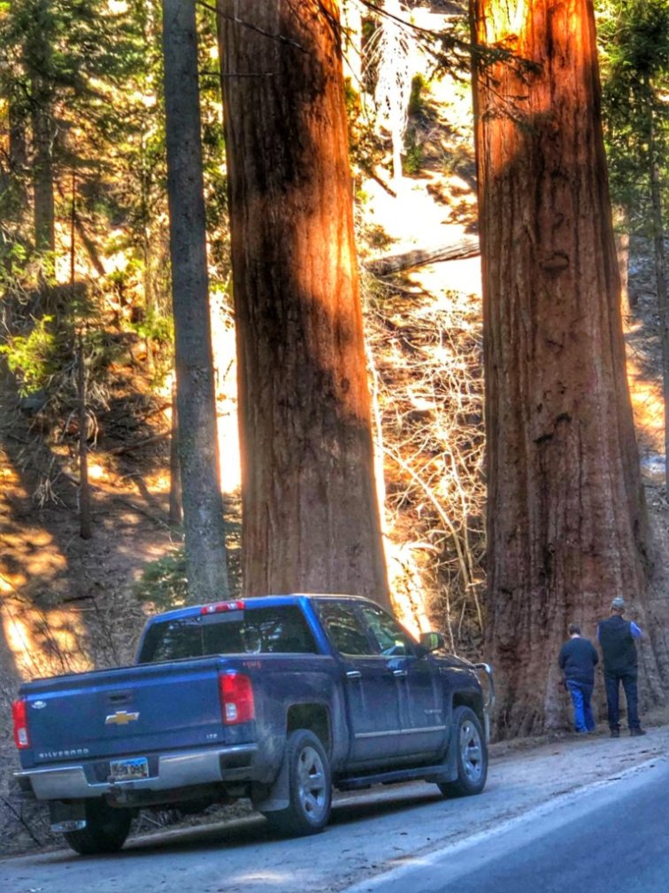
We drove on California Highway 198 from Three Rivers, California to the Park Ash Mountain Entrance of the National Park. This section of Hwy 198 is named the Generals Highway, named after the General Sherman and General Grant trees, two of the largest and most famous trees in the park. It is actually a pretty grueling highway with dozens of switchbacks and speed limit of 10 MPH most of the way….very slow going. But the drive is stunningly beautiful.
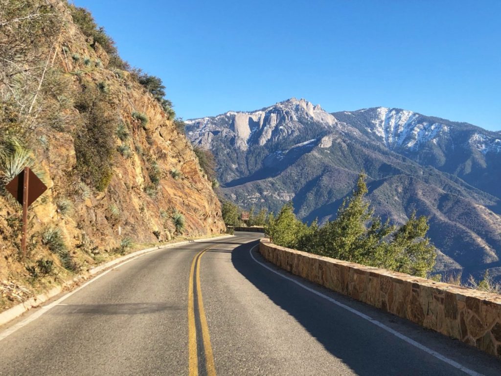
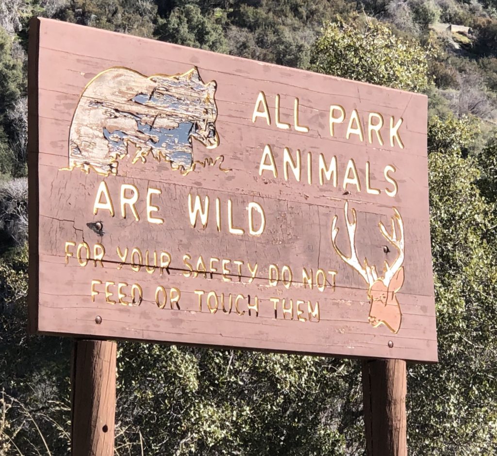
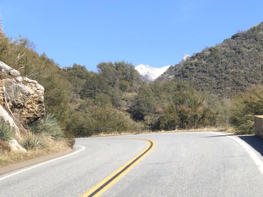
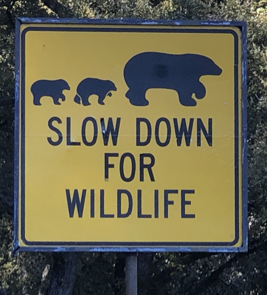
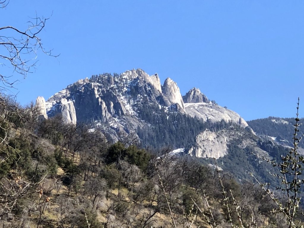
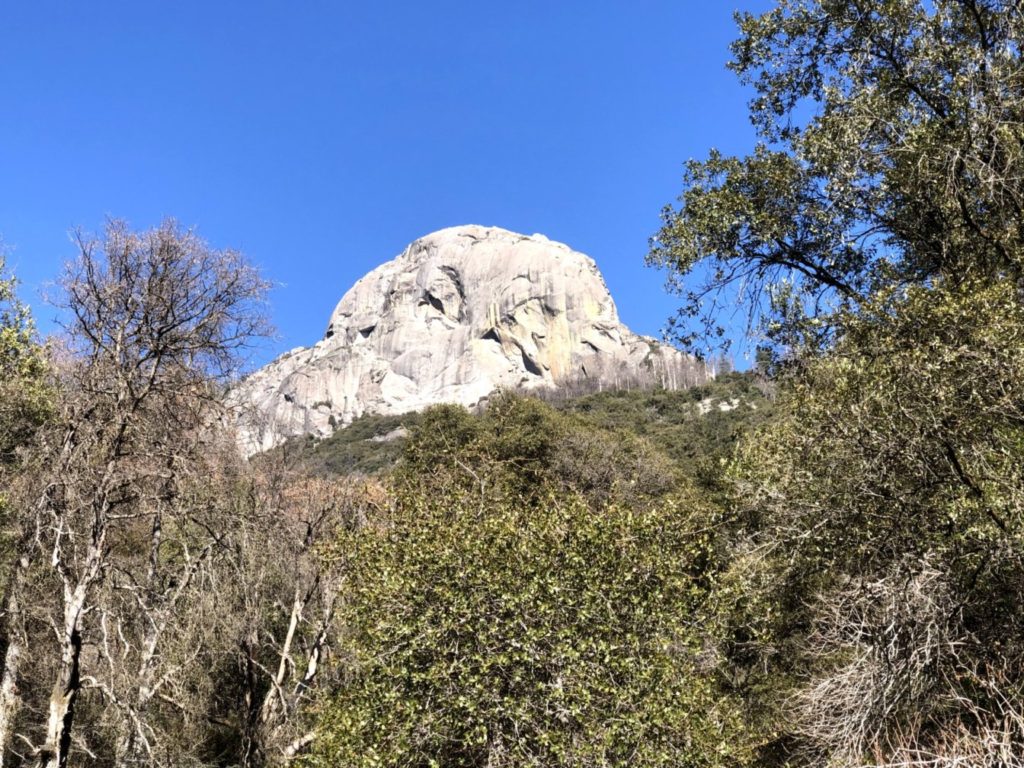
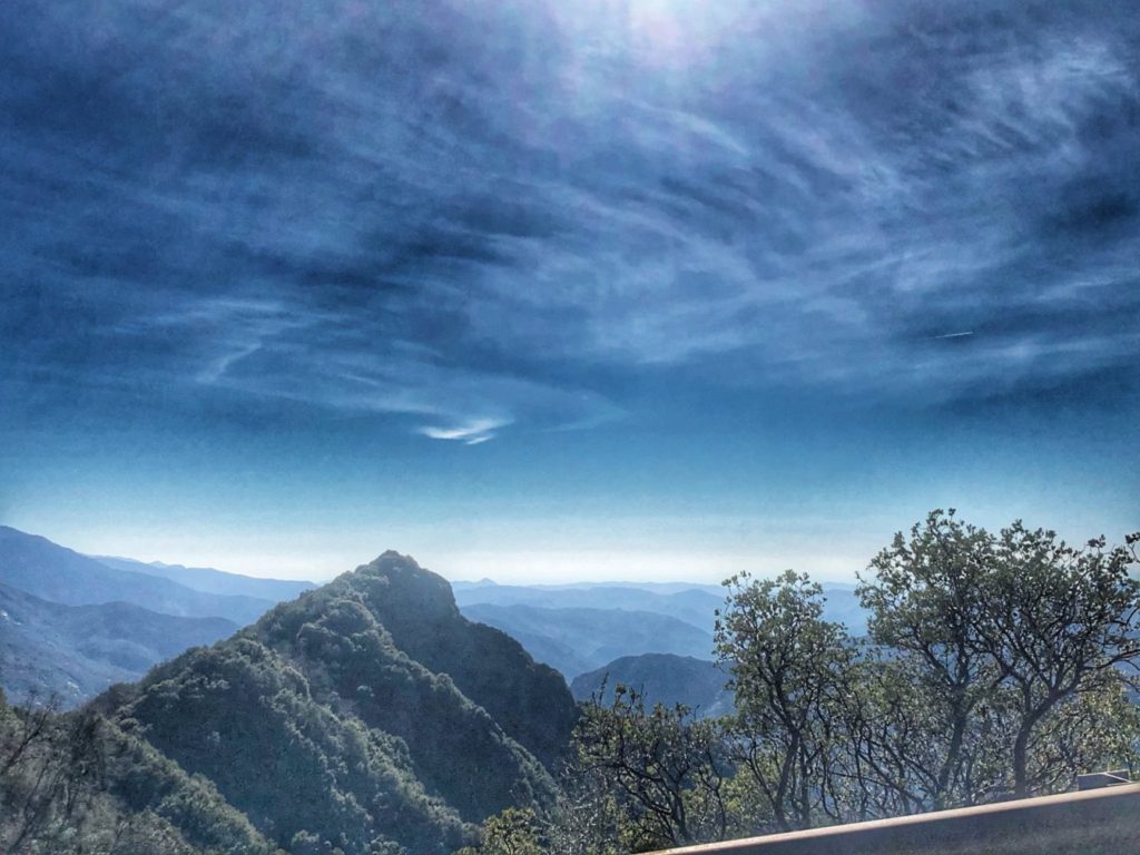
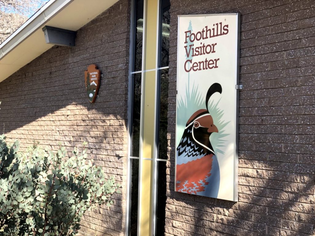
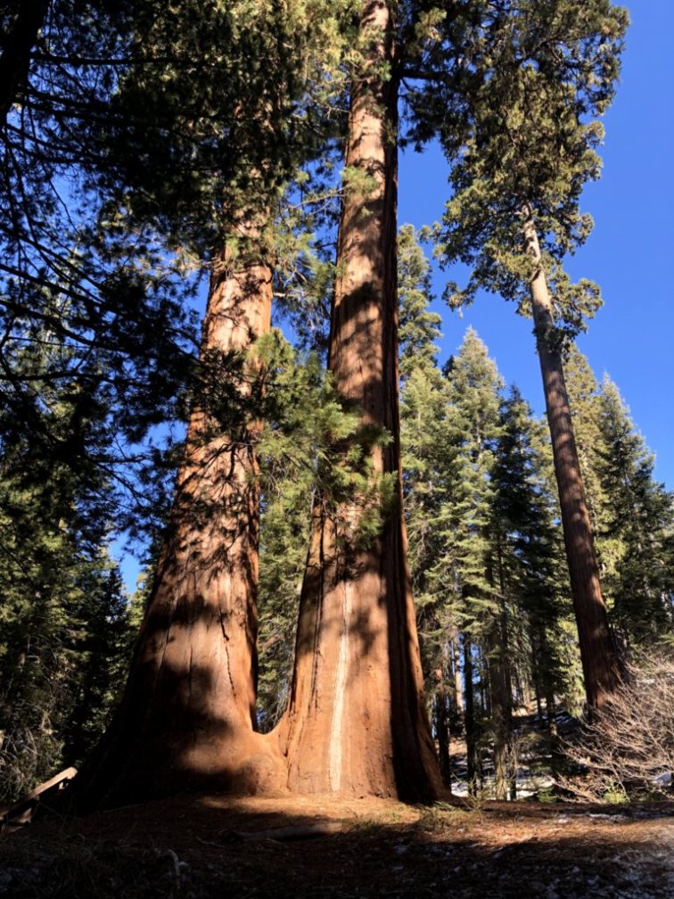
The highway has major elevation changes, beginning at the 1500 foot elevation at the Foothills Visitor Center to nearly 6400 feet in the midst of the giant Sequoia forest where the General Sherman Tree is located. After desert-like climate, the climb went through a few different types of plants and vegetation until we passed the 6000 elevation mark when the giant Sequoia Trees began to appear.
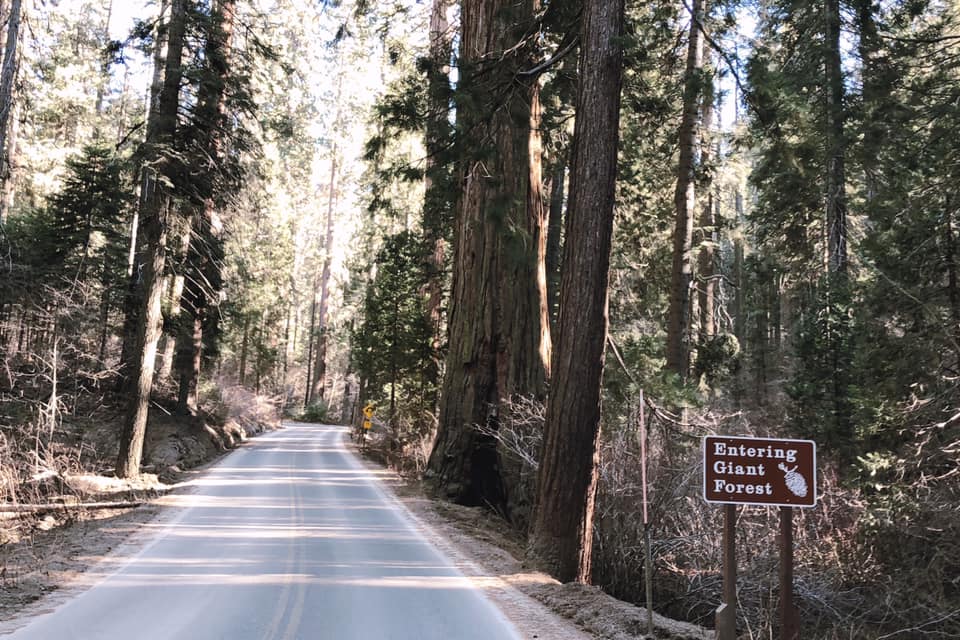
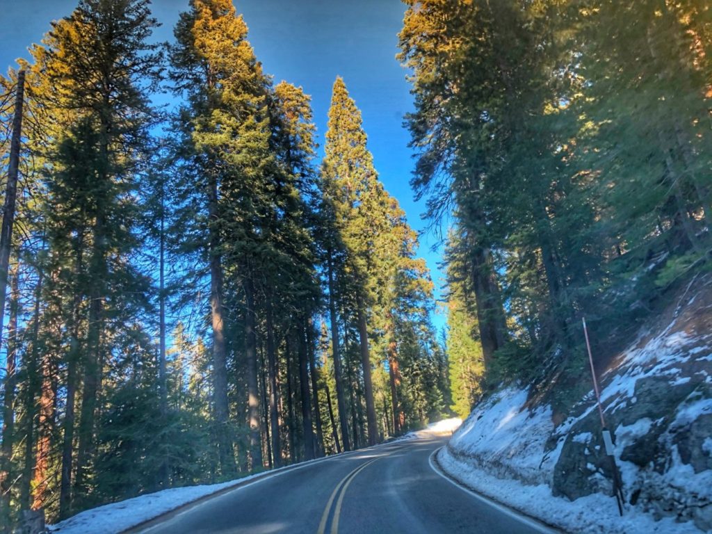
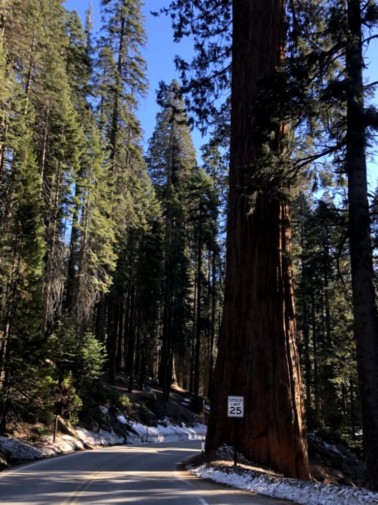
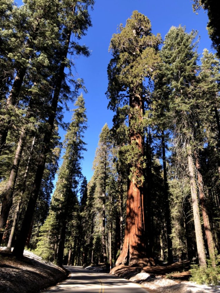
Once we arrived in the area where the Gigantic General Sherman Tree is located, we parked and Marissa and the kids hiked into the tree.
Marissa and kids at the General Sherman tree
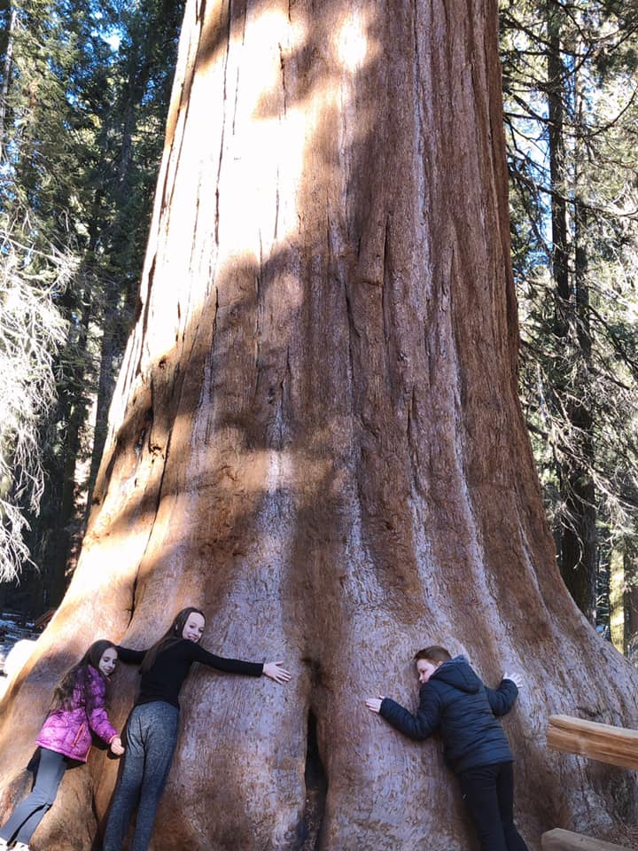
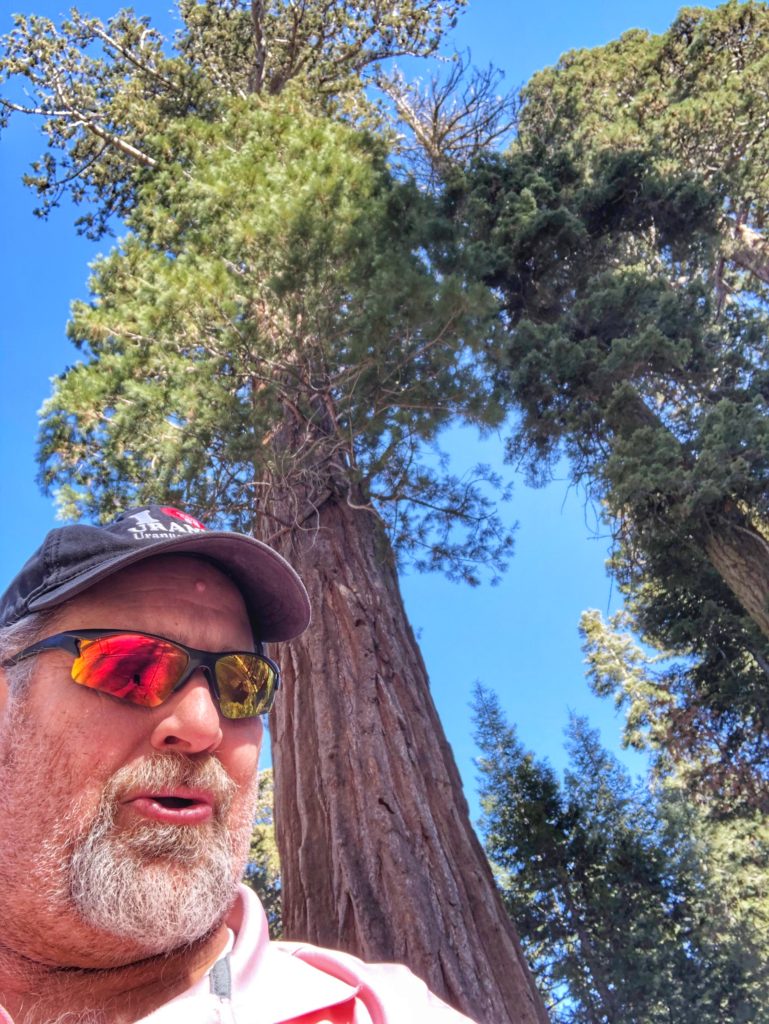
As with the other parks, the kids scored their Junior Ranger Badges and then we continued east entering the Mojave Desert through Baker, California, Searchlight, Nevada and eventually into Williams, Arizona with the ultimate goal of the Grand Canyon.
GRAND CANYON NATIONAL PARK – GRAND CANYON, ARIZONA
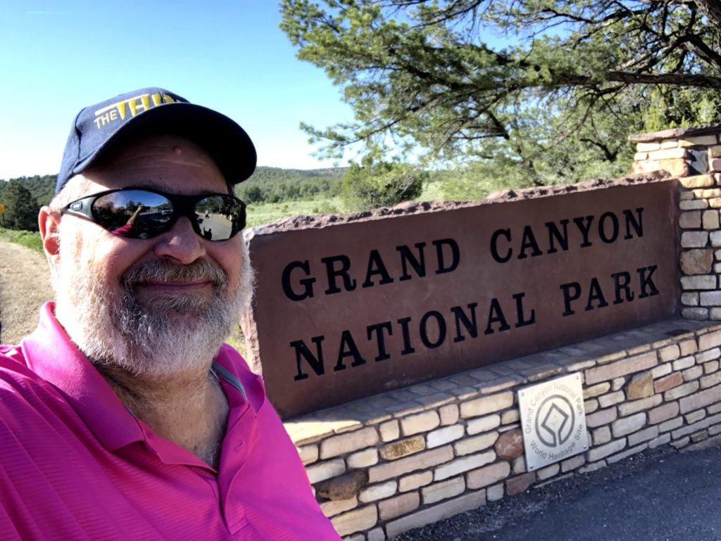
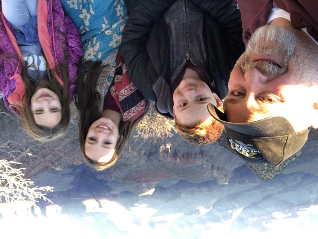
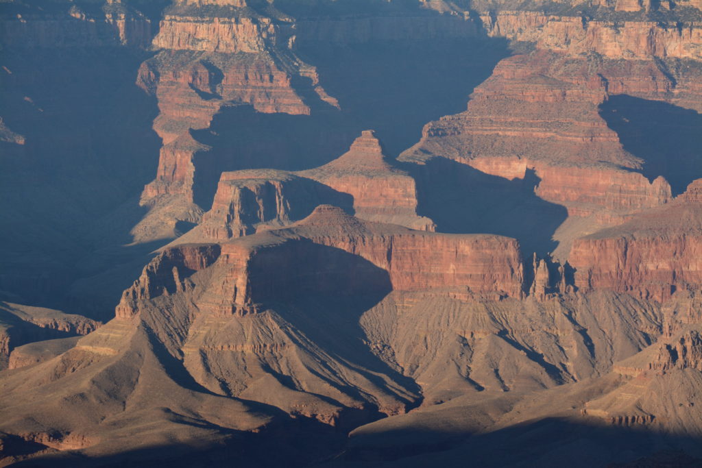
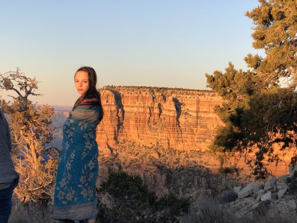
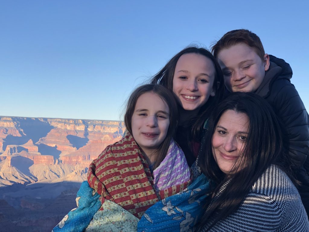
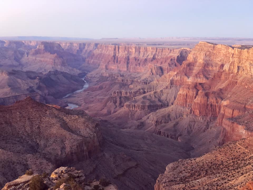
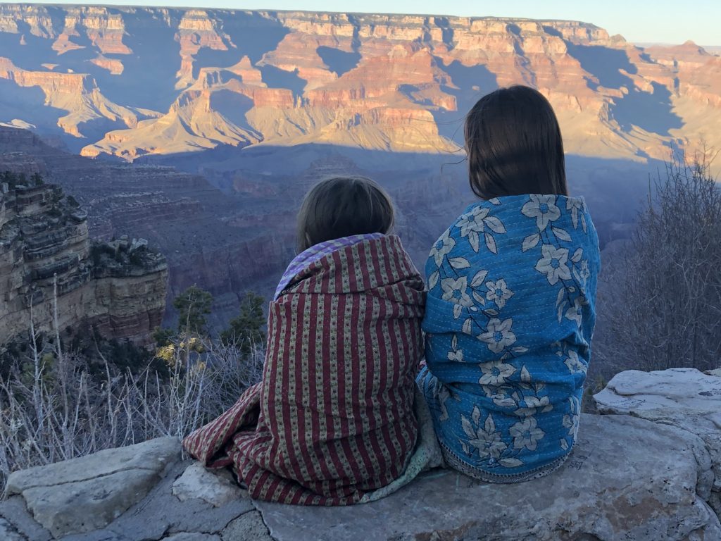
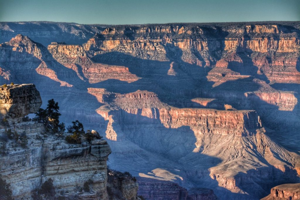
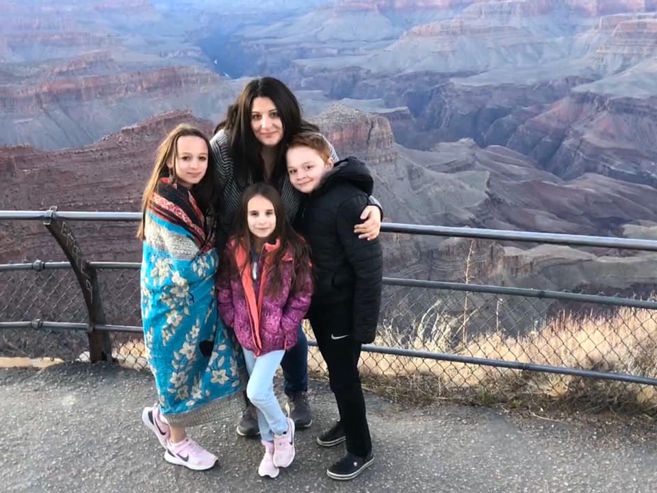
The Grand Canyon is probably one of America’s two most famous National Parks (the other being Yellowstone). While living in Flagstaff in the mid-1980s, I was a tour guide and visited the Grand Canyon dozens of times. But, at the time of this trip in February 2020, none of my 10 grandchildren had ever been here, so it was a joy to introduce them to one of the most amazing places in the world.
PETRIFIED FOREST NATIONAL PARK – HOLBROOK, ARIZONA
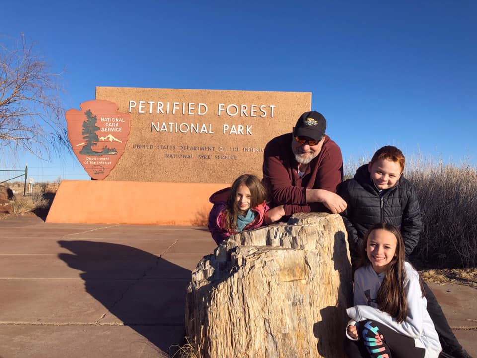
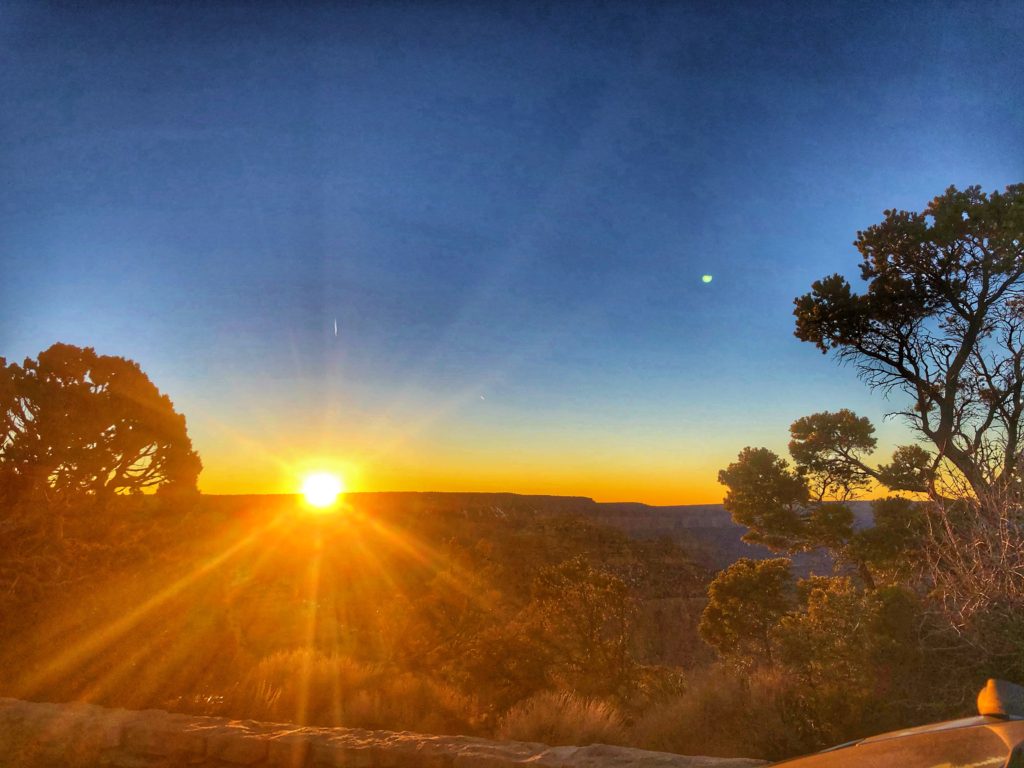
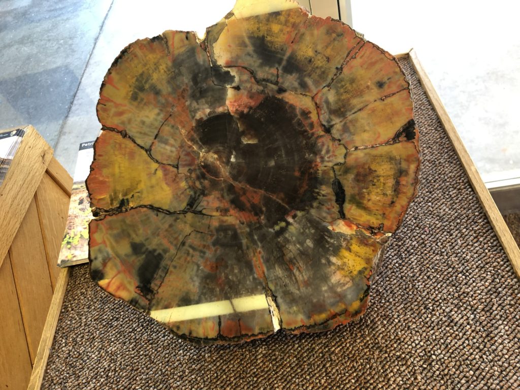
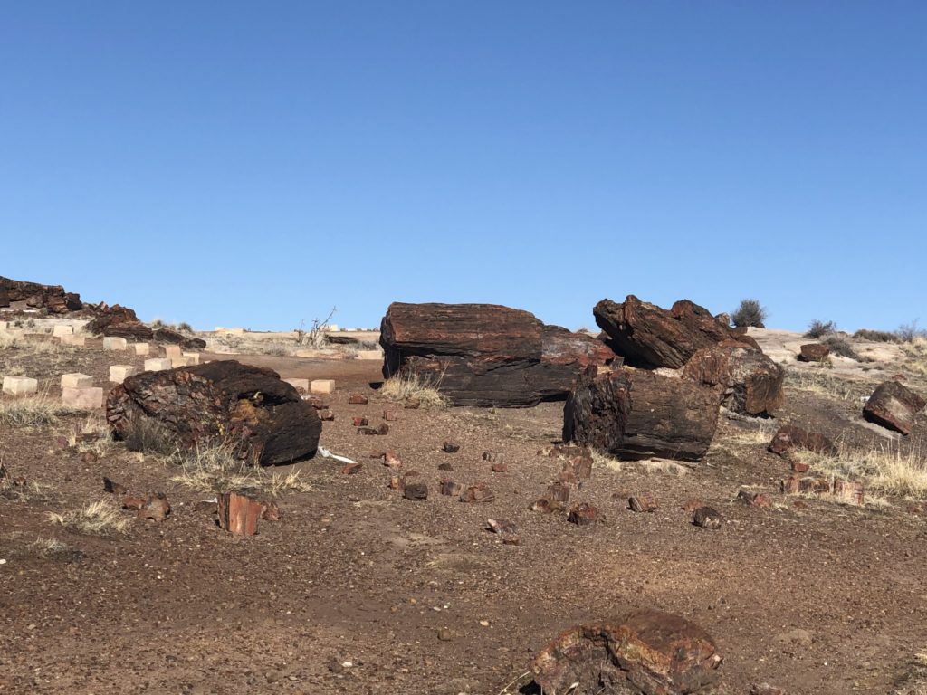
After our Grand Canyon visit, we had hoped to hit Sunset Crater National Monument and Wupatki National Monument, but we didn’t have time since we left the Grand Canyon at sunset. However, they did get their Junior Ranger badges at the Grand Canyon. We spent the night in Winslow, Arizona and then continued east to Holbrook, where we visited the Petrified Forest National Park. There are actually two main entrances to the park as one is for the Petrified Forest and the other is for the Painted Desert Drive. We visited both and the kids got their last Junior Ranger badges on the trip.
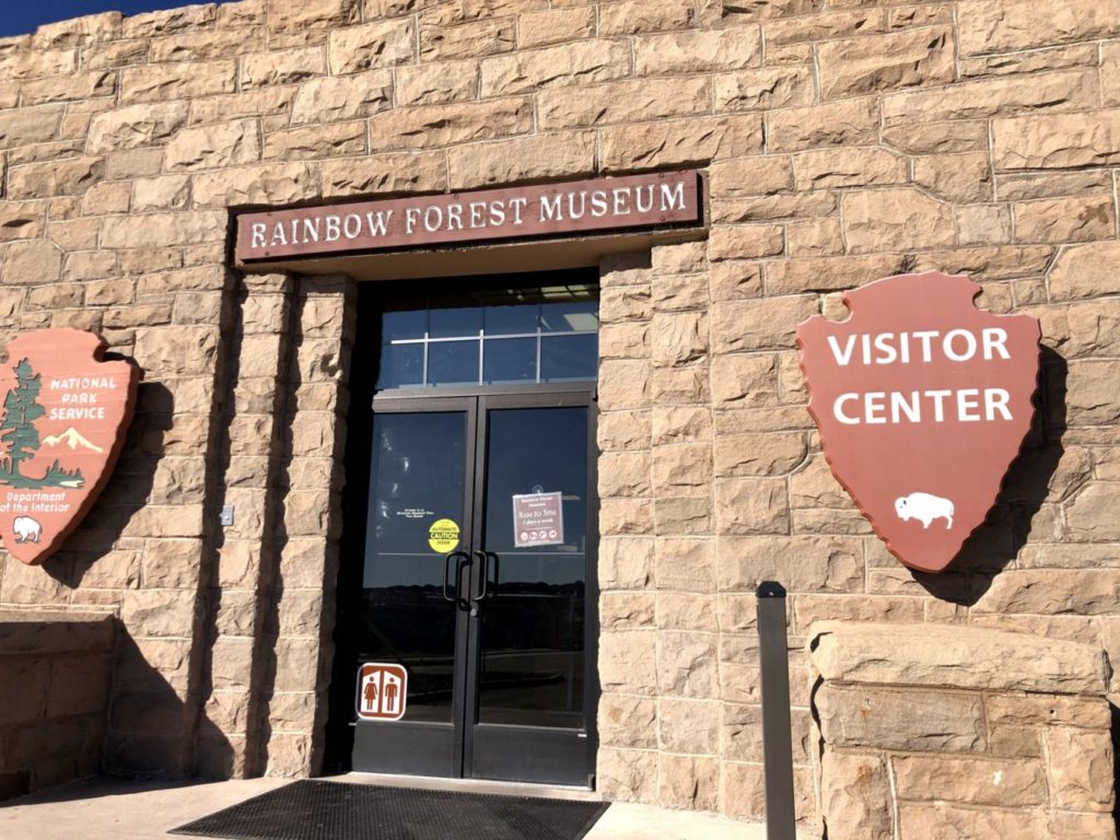
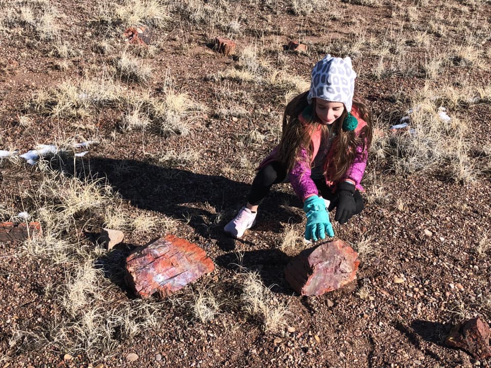
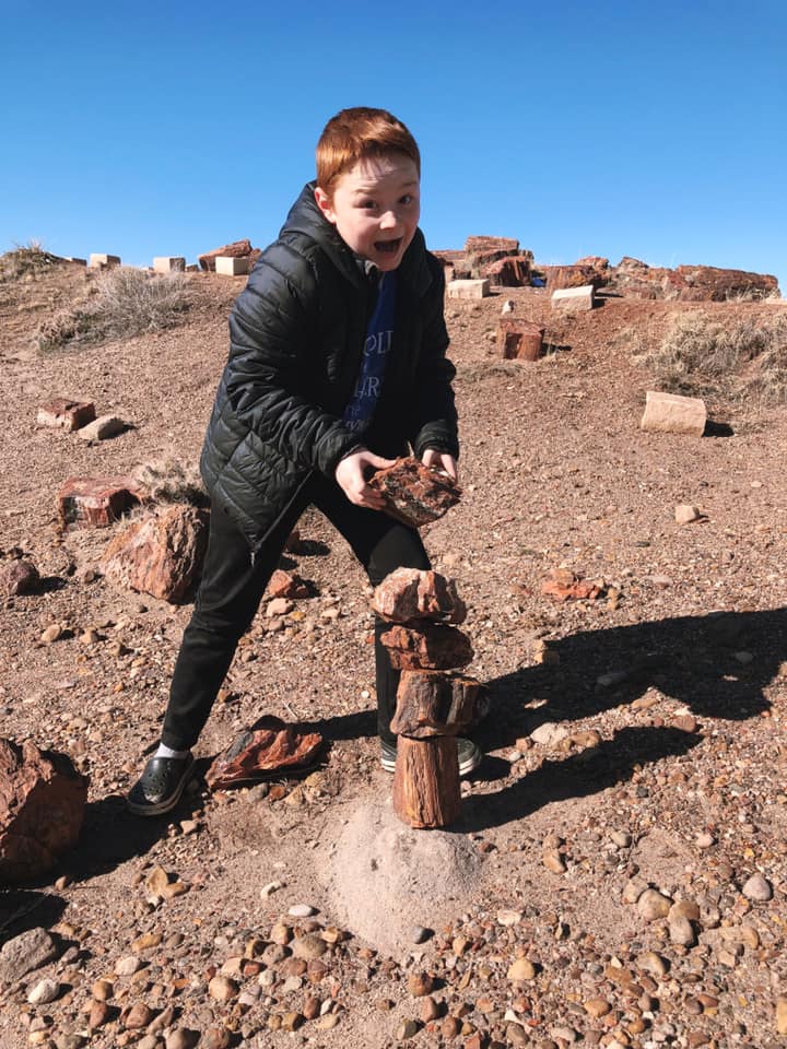
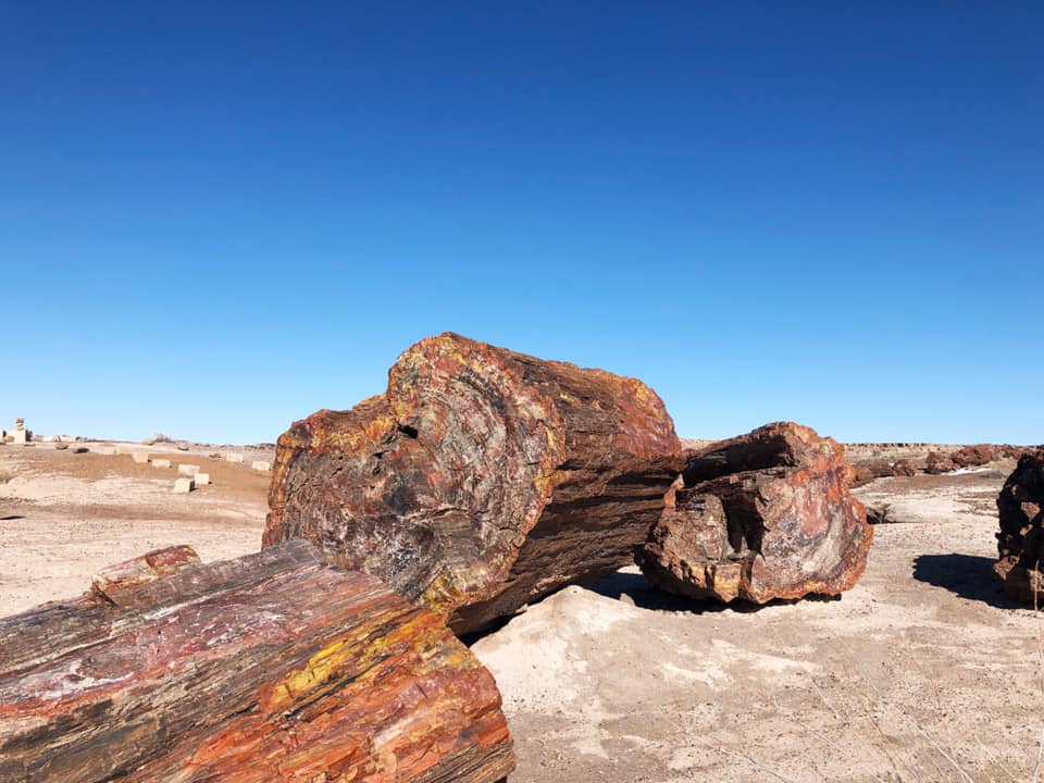
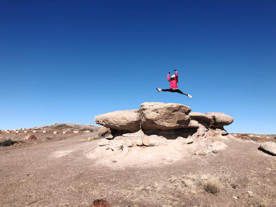
The Rainbow Forest Visitor Center offers some wonderful opportunities to see and feel petrified wood, huge colorful petrified logs and more. The kids took a hike up through all of the Petrified Wood.
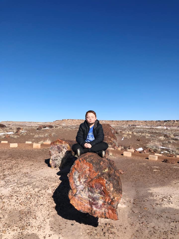
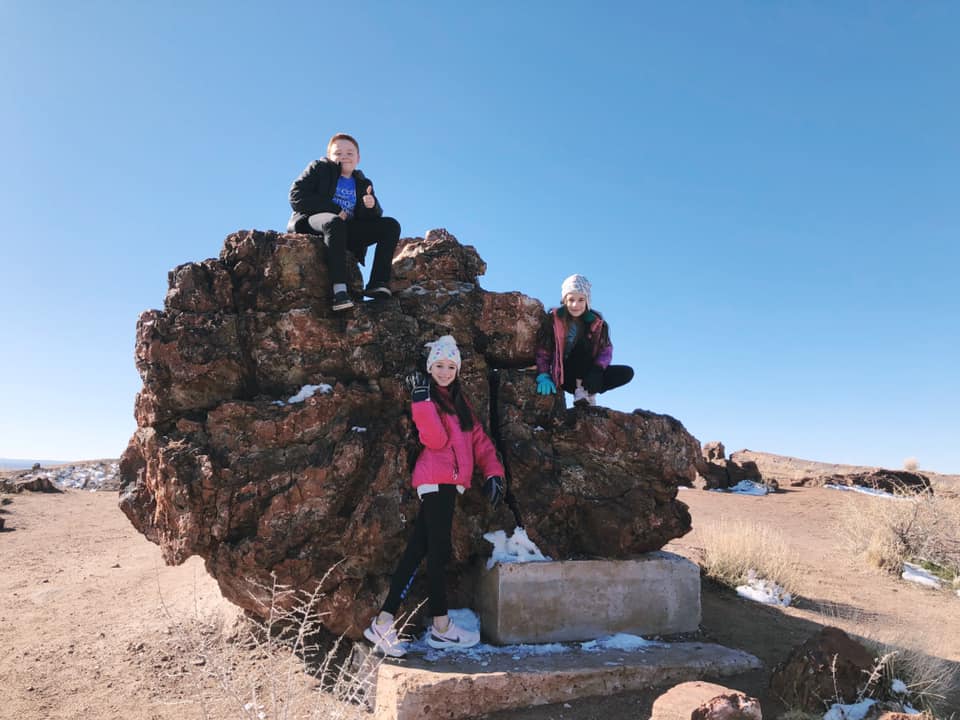
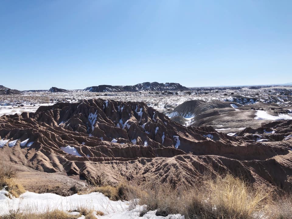
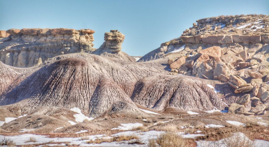
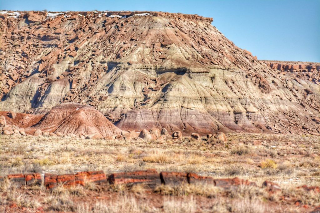
The other side of the park led us the unique sand hill formations of the Painted Desert. In places there was still snow on the ground and the colors were not as brilliant. But it did offer a chance to see the unique desert landscape.
CADDO LAKE STATE PARK – UNCERTAIN, TEXAS
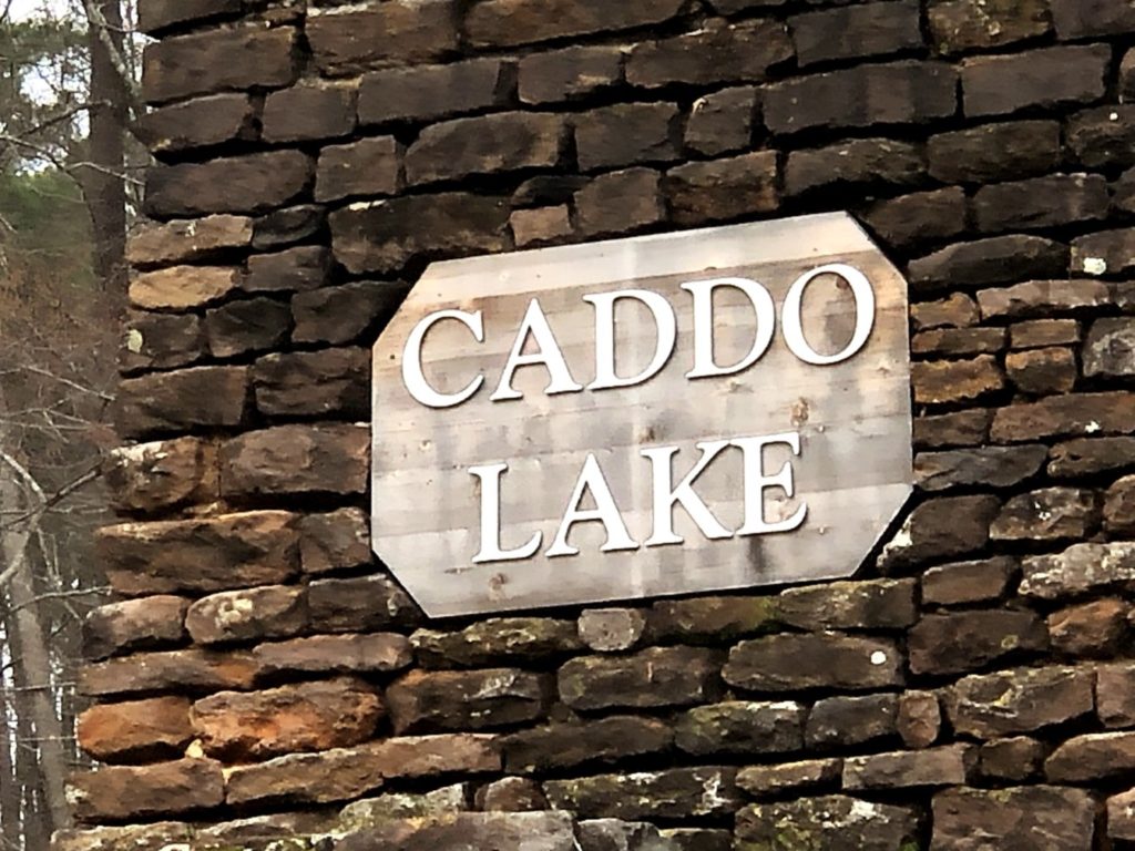
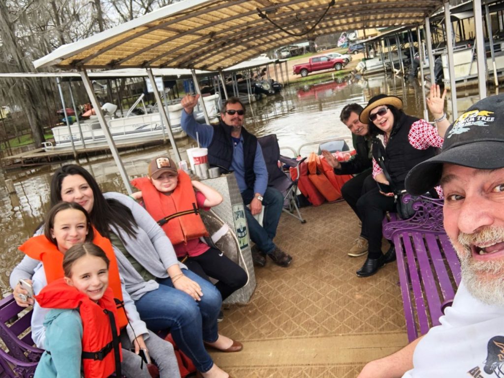
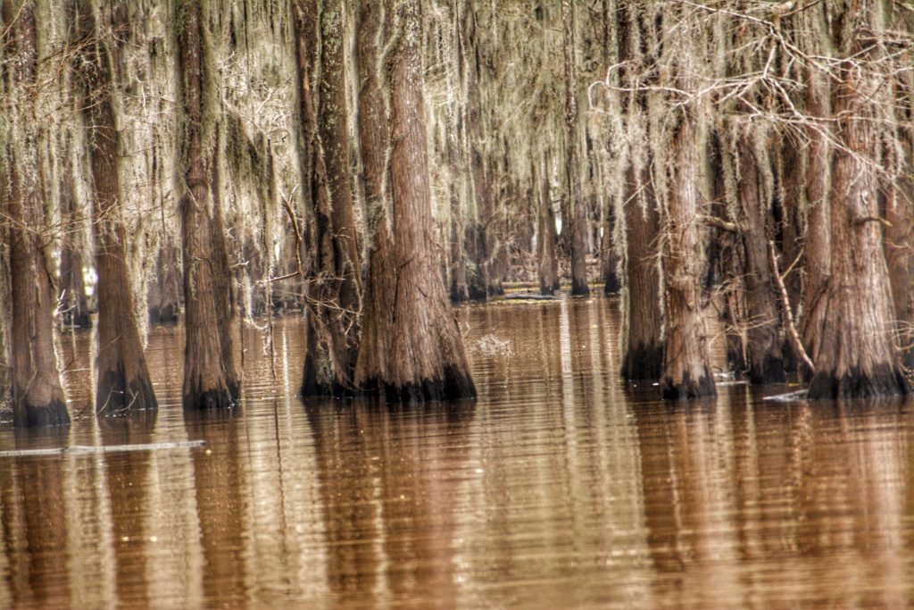
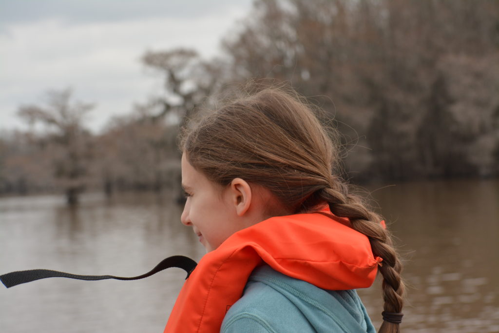
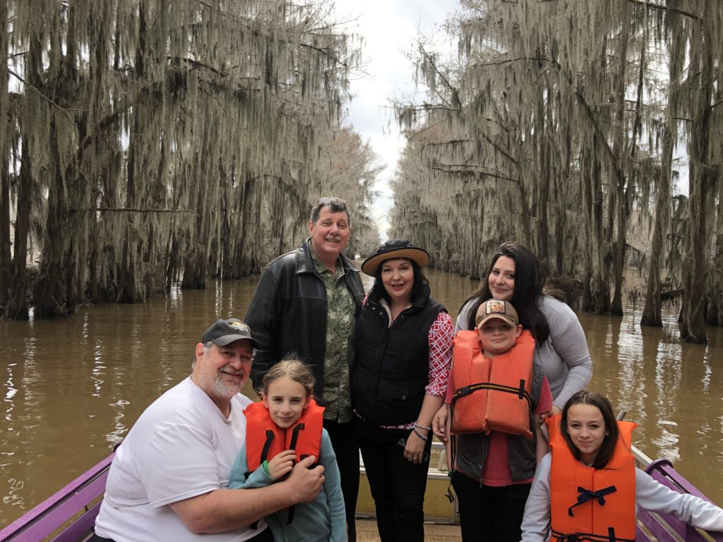
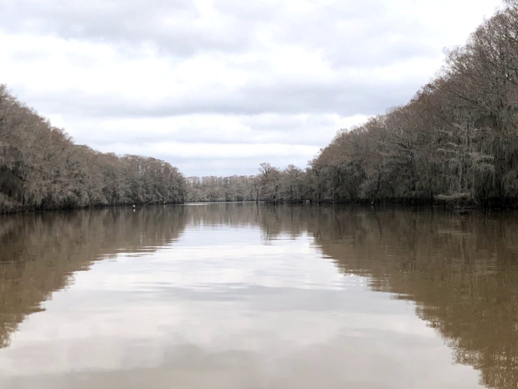
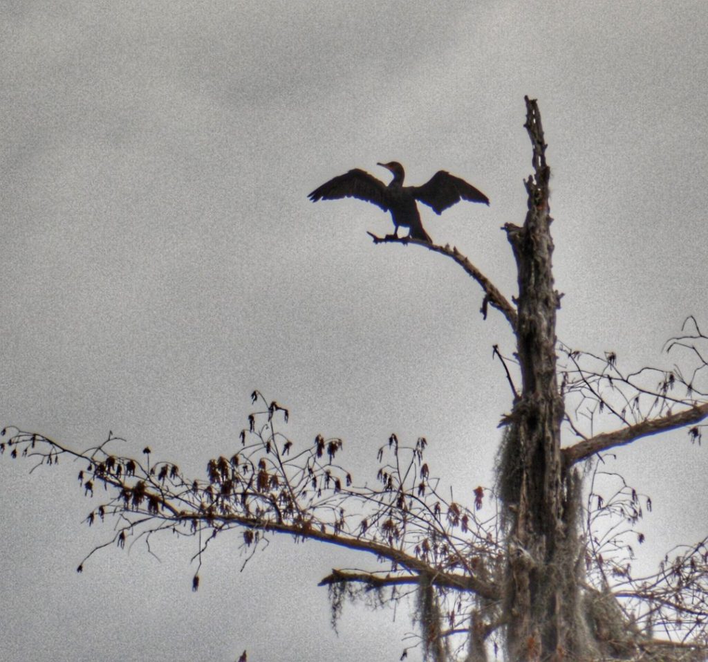
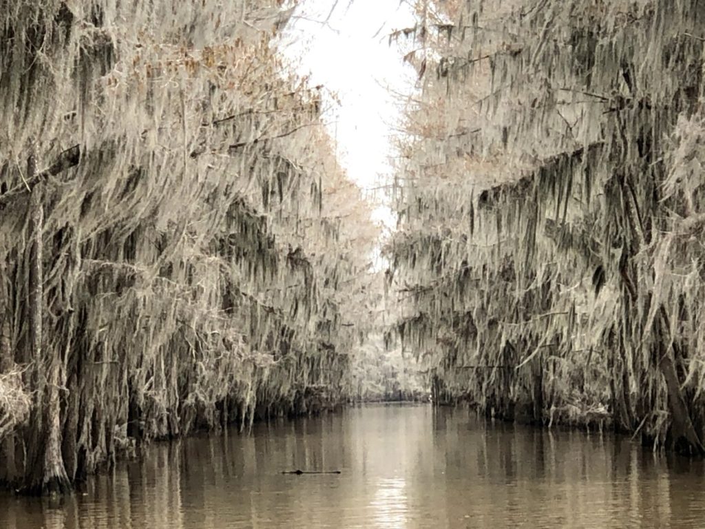
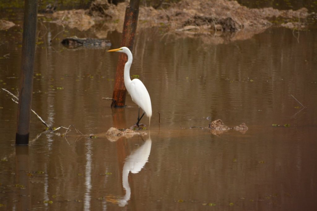
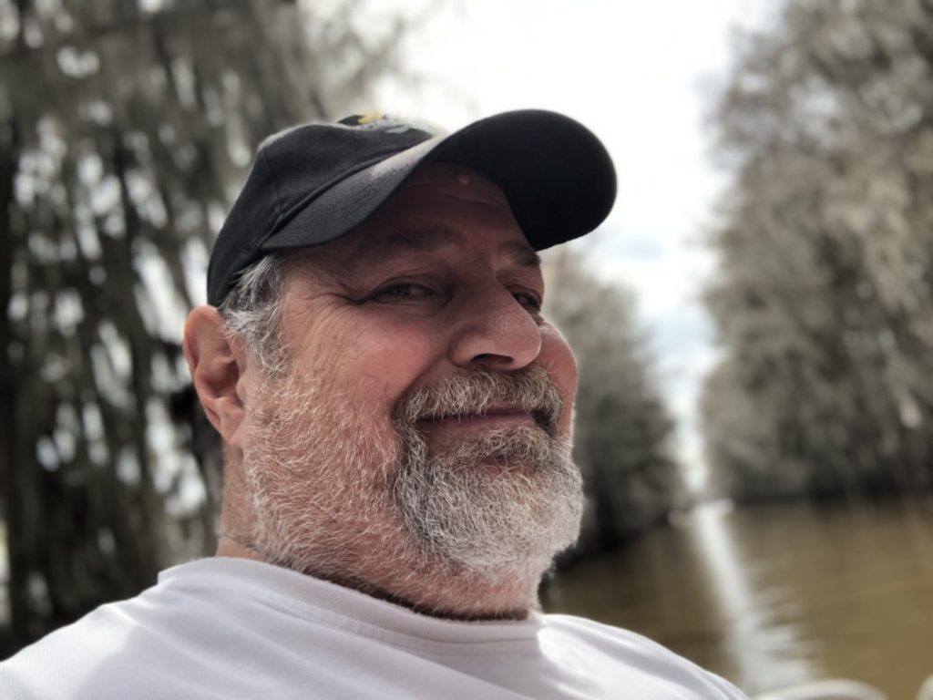
Our last State Park stop on the trip was in northeast Texas, on the border of Texas, Arkansas and Louisiana. We stopped by Caddo Lake State Park in Uncertain, Texas for a boat ride through the swamp with our guide Aaron Applebaum of Mystique Tours. Though there were no badges or certificates at this park, it would still be a fun way to end the last leg of our long and epic journey.
RETURNING HOME
The final leg of our trip took us through Louisiana, Arkansas, Tennessee and Kentucky. It was a wonderful time with many memories. The grandkids had the opportunity to see much of America — something that most children their age never get to do. I am so happy to have been with them to share this great experience.
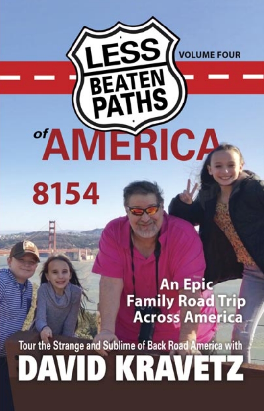
WATCH FOR MY NEW BOOK “8154” — COMING SOON TO AMAZON
I am currently working on my FOURTH book, titled “8154” to represent the mileage of my epic road trip with family. You can visit my Amazon Author Page to see my other books at https://amzn.to/3azY36l

