In early 2020 I traveled across the country over the course of three weeks with my daughter and three grandchildren. During this trip we traveled 8154 miles across 20 states and visited over 100 destinations, saw all sorts of animals, all sorts of geography, 10 National Parks and Monuments, various state parks, oceans, deserts, mountains, beaches, grasslands, canyons and more. This is the fourth of a few posts about some of the fun from this EPIC Road Trip. In this post I’ll share some scenes of some of America’s diverse landscapes that we experienced on this epic road trip. Enjoy the Read! Enjoy the Ride! (all photography by David “Sumoflam” Kravetz and, when noted, Marissa Noe)
OH BEAUTIFUL FOR SPACIOUS SKIES
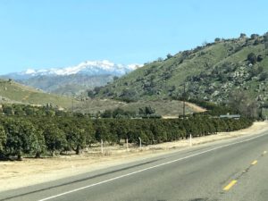
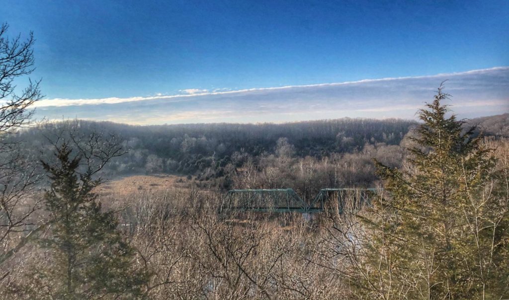
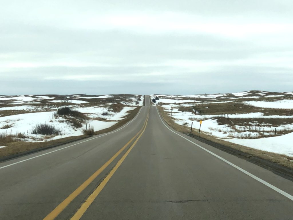
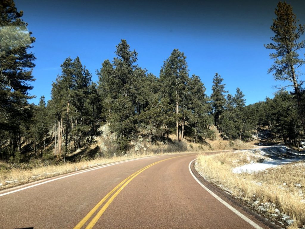
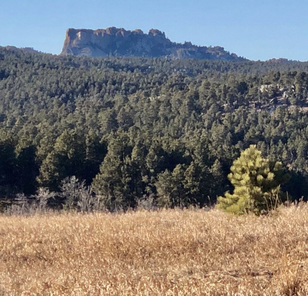
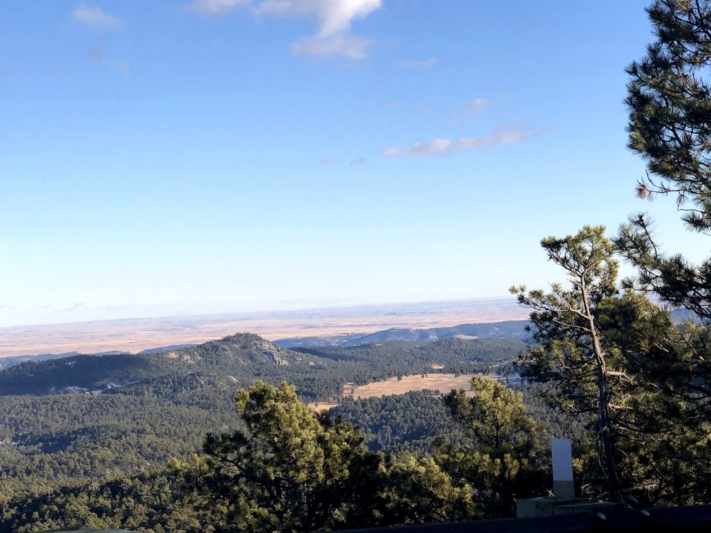
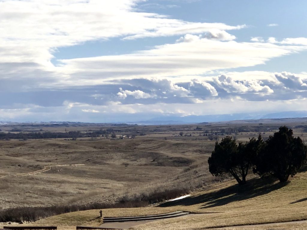
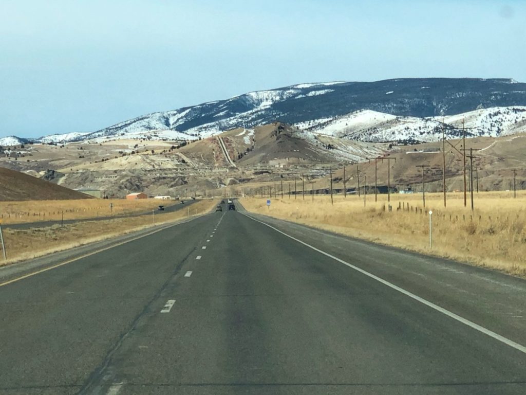
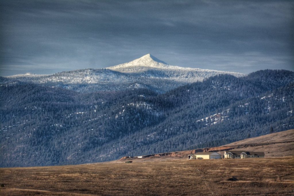
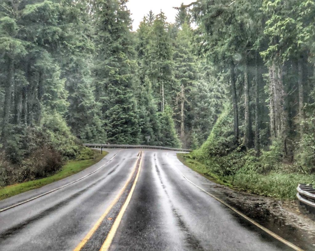
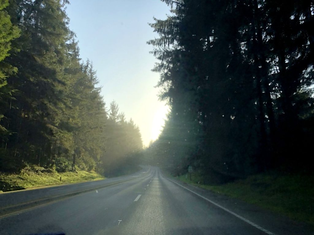
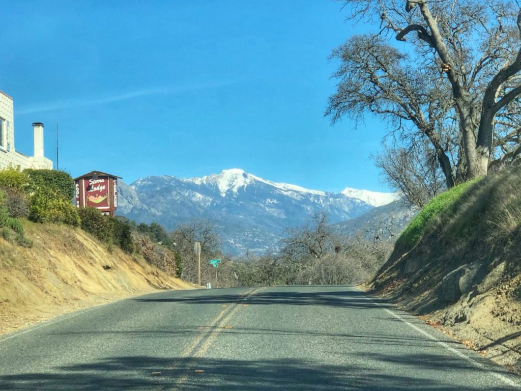
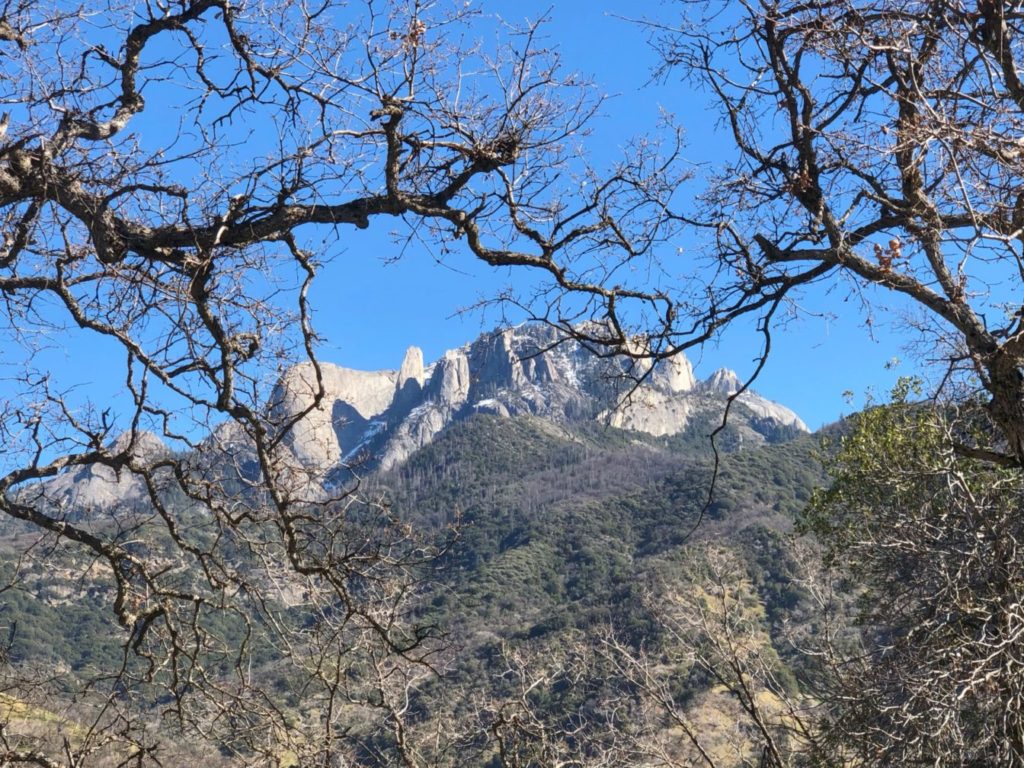
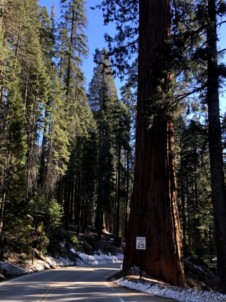
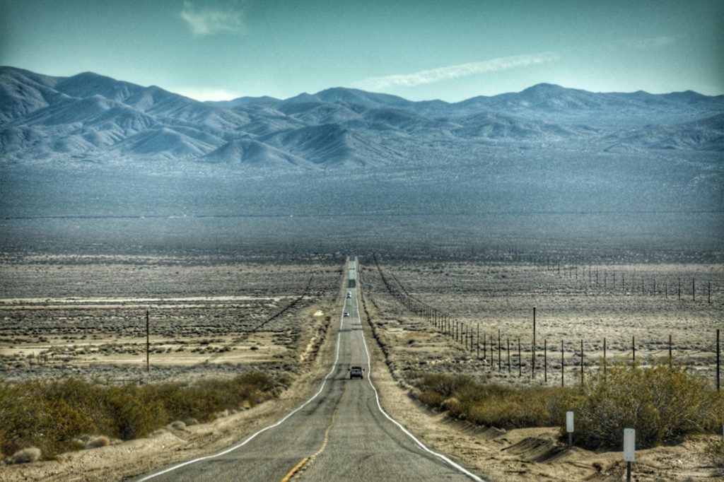
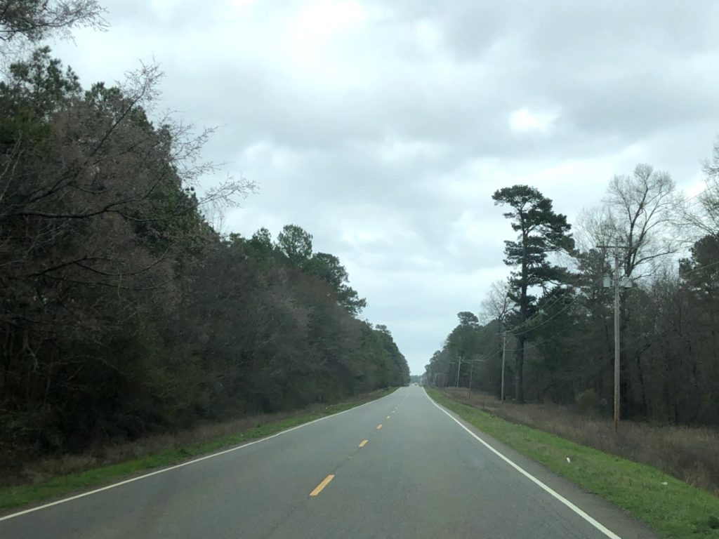
SD Hwy 244 north of Mount Rushmore near Keystone, South Dakota with its granite cliffs
In 1833, poet Katharine Lee Bates took a train trip across the United States from her home in Wellesley, Massachusetts to Colorado Springs, Colorado in order to teach a summer school course at Colorado College. Along the way she experienced all kinds of inspiring scenery. And from the top of Pikes Peak in Colorado, while witnessing an expansive view of the land sprawling out before her, she penned the original words to what we now know as America the Beautiful. The words changed slightly until the final version was published in 1911. Most Americans know the first verse and that is what this post is centered on:
O beautiful for spacious skies, For amber waves of grain, For purple mountain majesties Above the fruited plain! America! America! God shed His grace on thee And crown thy good with brotherhood From sea to shining sea!
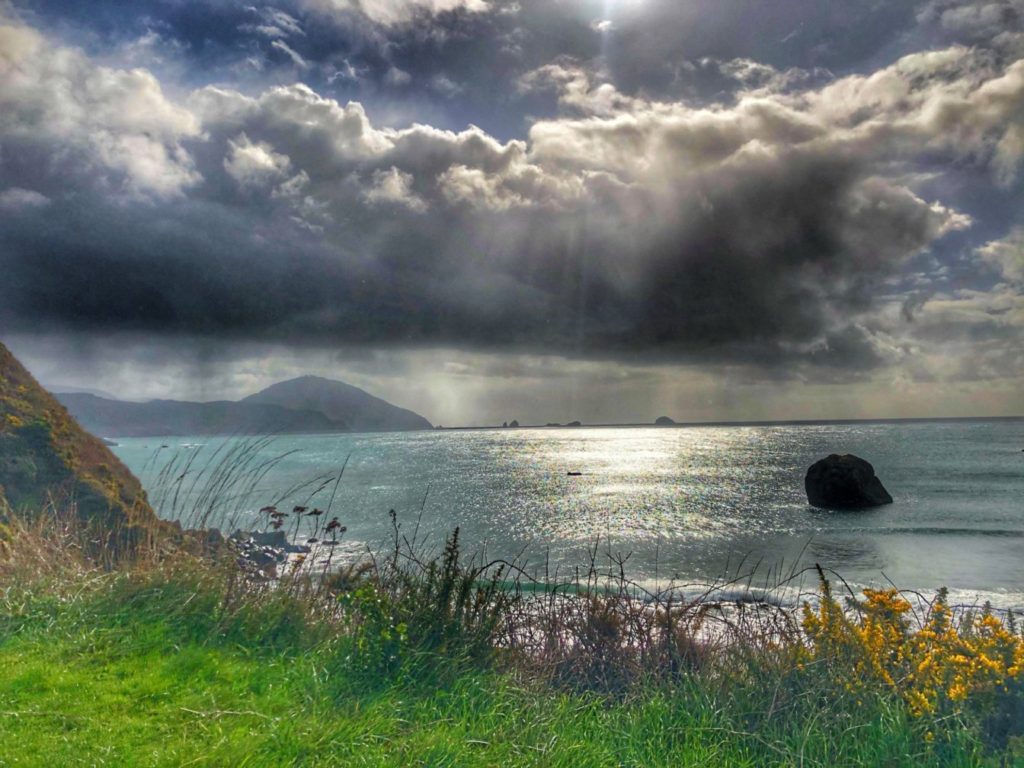
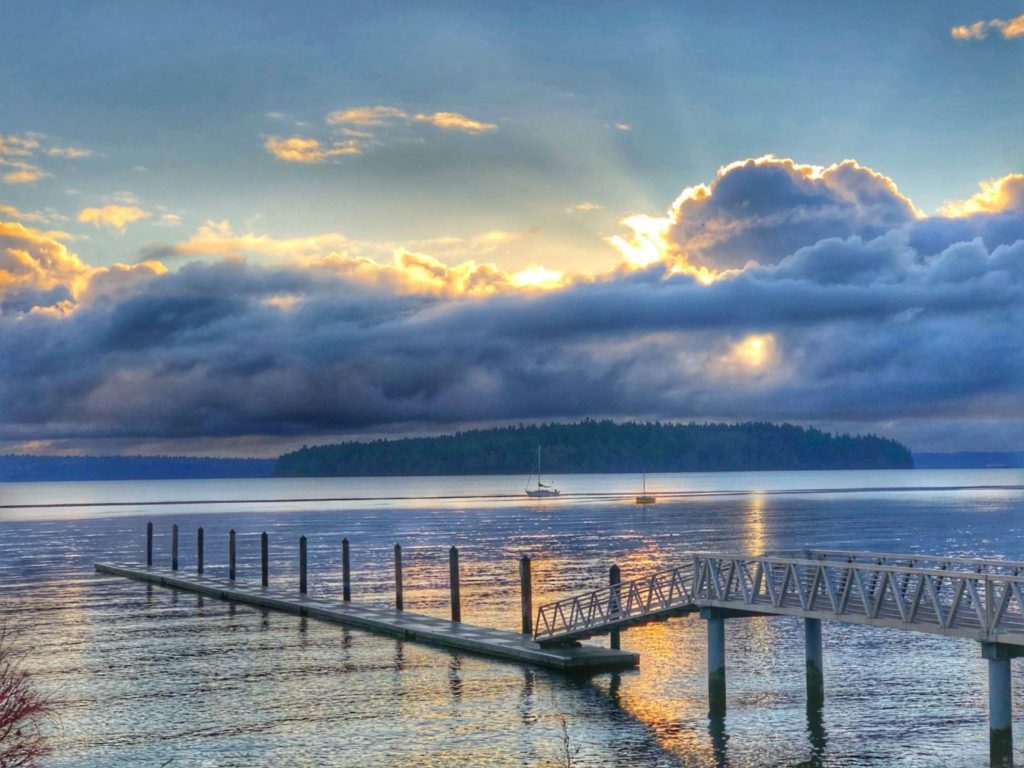
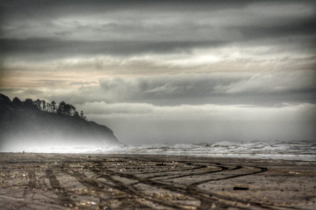
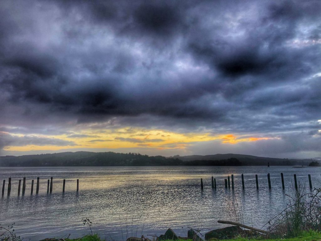
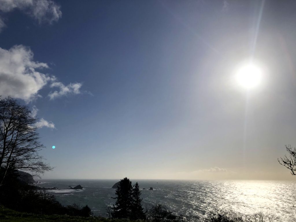
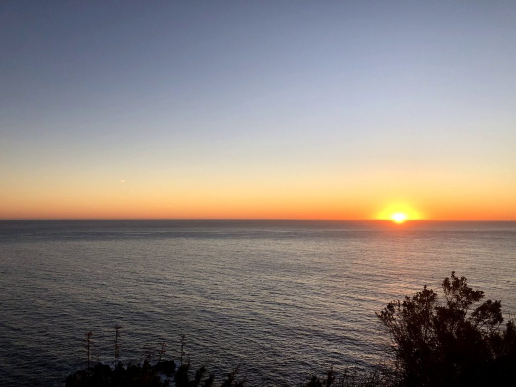
Shining sea of Pacific Ocean near Langlois, Oregon
Though this trip did not get from “sea to shining sea,” we did see amber waves of grain, purple mountains majesty and fruited plains (well, kind of…it was winter time). I was so happy that my grandchildren could experience the diversity of this American land and its many landscapes. Following is mainly a pictorial collection of some of the landscapes…some of America…that we saw and experienced. Even in the winter time it is glorious.
High plains of northeast Wyoming. This is on US Highway 14/16 near Clearmont, Wyoming
ADVENTURES IN GEOGRAPHIC DIVERSITY
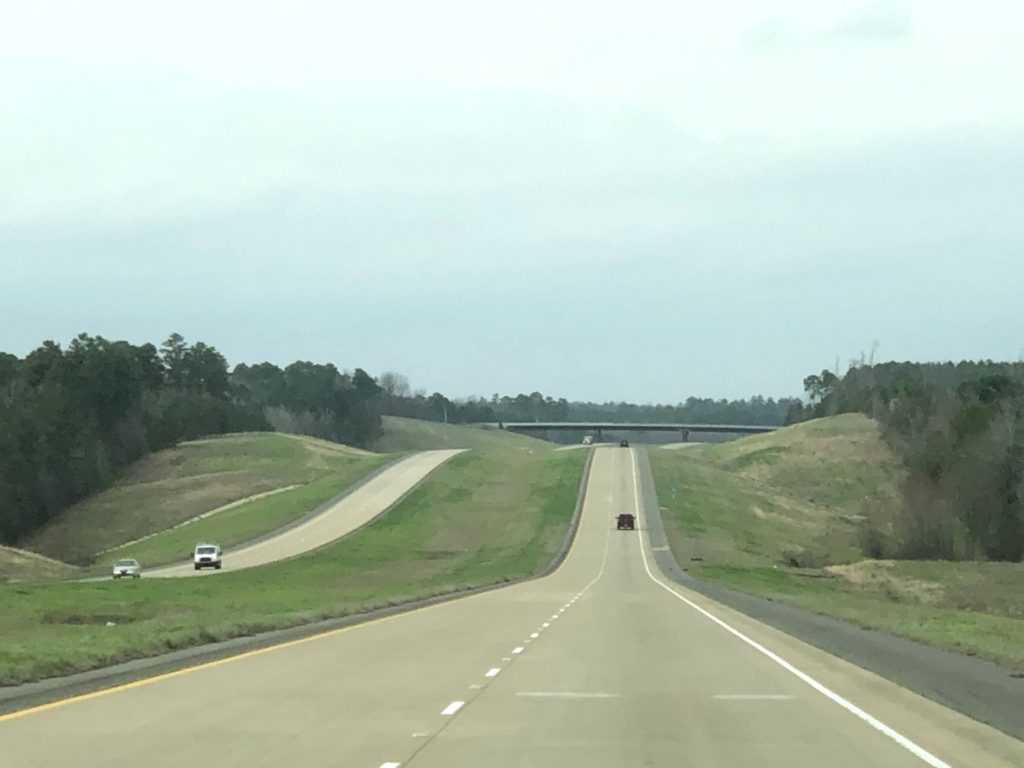
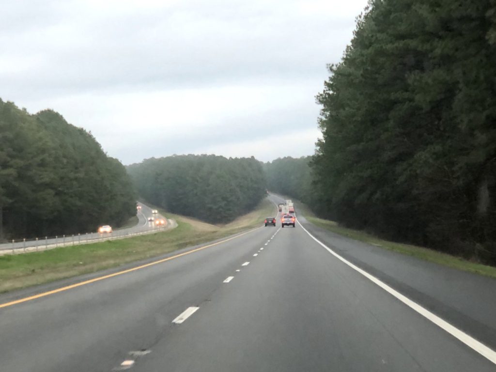
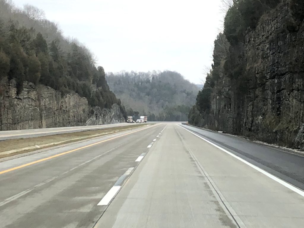
Now enjoy the ride across America as we saw it from January 25 to February 18, 2020. Descriptions are included with each photo. You will basically get to travel along and see what we saw. We crossed big rivers, traveled through plains and hills, ventured into snow-covered mountains and through great pine forests and then along the Pacific Coast. From there we returned eastward through deserts, canyons and swamps. Note, since it was winter there is relatively little green on most of the trip. ENJOY THE RIDE!
ILLINOIS
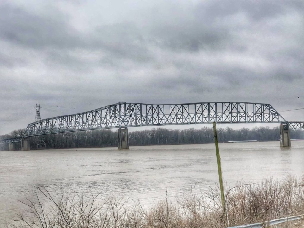
Crossing the Ohio River from Kentucky into Illinois at Old Shawneetown on Kentucky Hwy 56. Taken from Shawneetown.Heading west on Illinois Highway 149 near Murphysboro, IllinoisCrossing the Mississippi River near Chester, Illinois onto Missouri Highway 51
MISSOURI
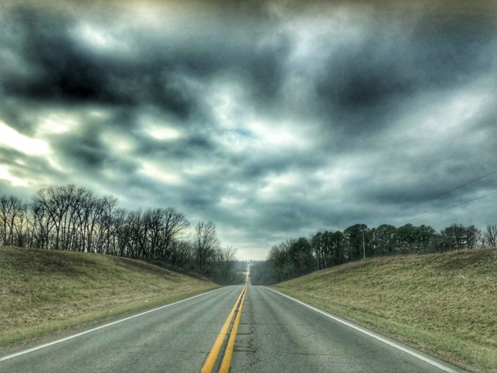
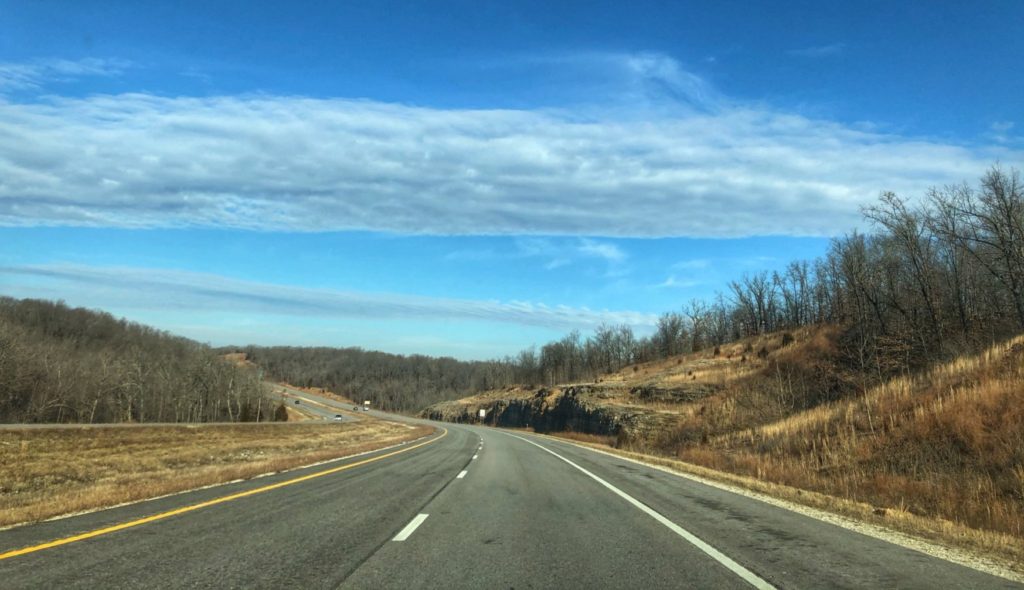
Missouri Highway B near Hillsboro, MissouriFiery Sky near Dittmer, MissouriThe Big Piney River Valley as seen from Devil’s Elbow, Missouri on Route 66Traveling west on Missouri Highway 7 near Camdenton, MissouriDriving by the Harry S Truman Reservoir near Warsaw, Missouri
NEBRASKA
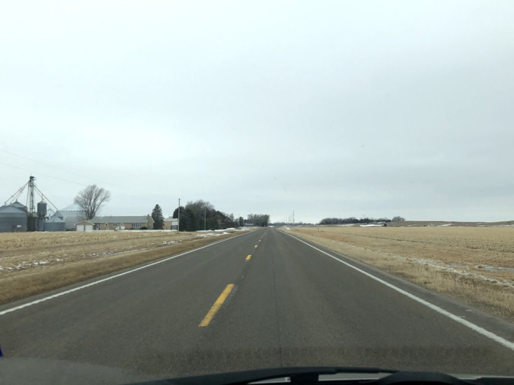
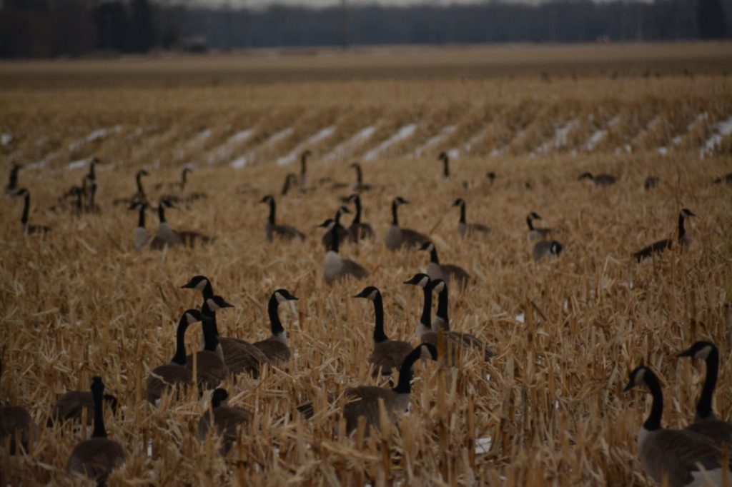
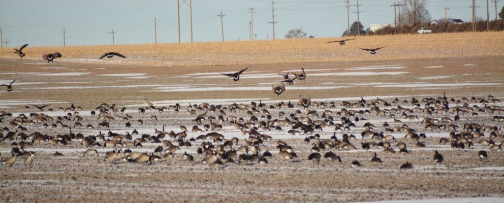
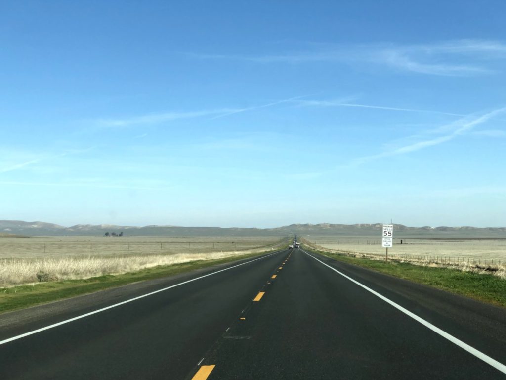
Flat farmland as seen from Nebraska Highway 92 near Palmer, NebraskaSnowy farmland and sandhills on Nebraska Highway 91 near BrewsterMigrating Canadian Geese resting in a field near Elba in central Nebraska.The Sandhills of Nebraska on Nebraska Highway 2 near ThedfordAnother view of the Sandhills from Nebraska Highway 2Heading north to south Dakota on Nebraska Highway 2 north of Alliance
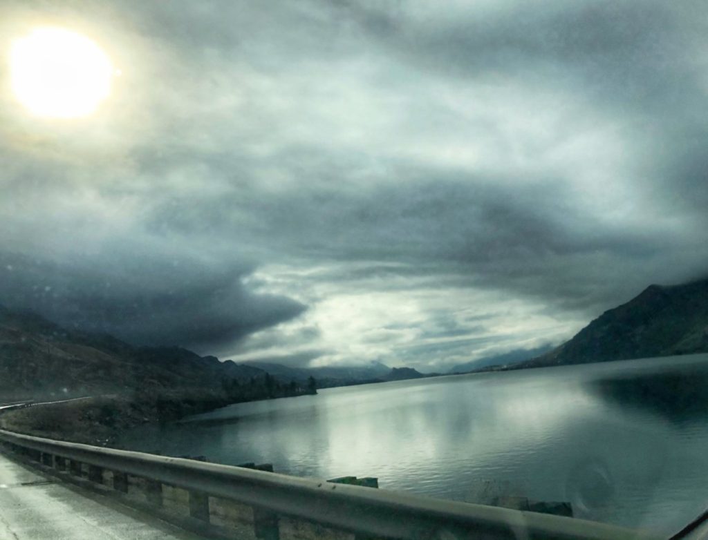
SOUTH DAKOTA
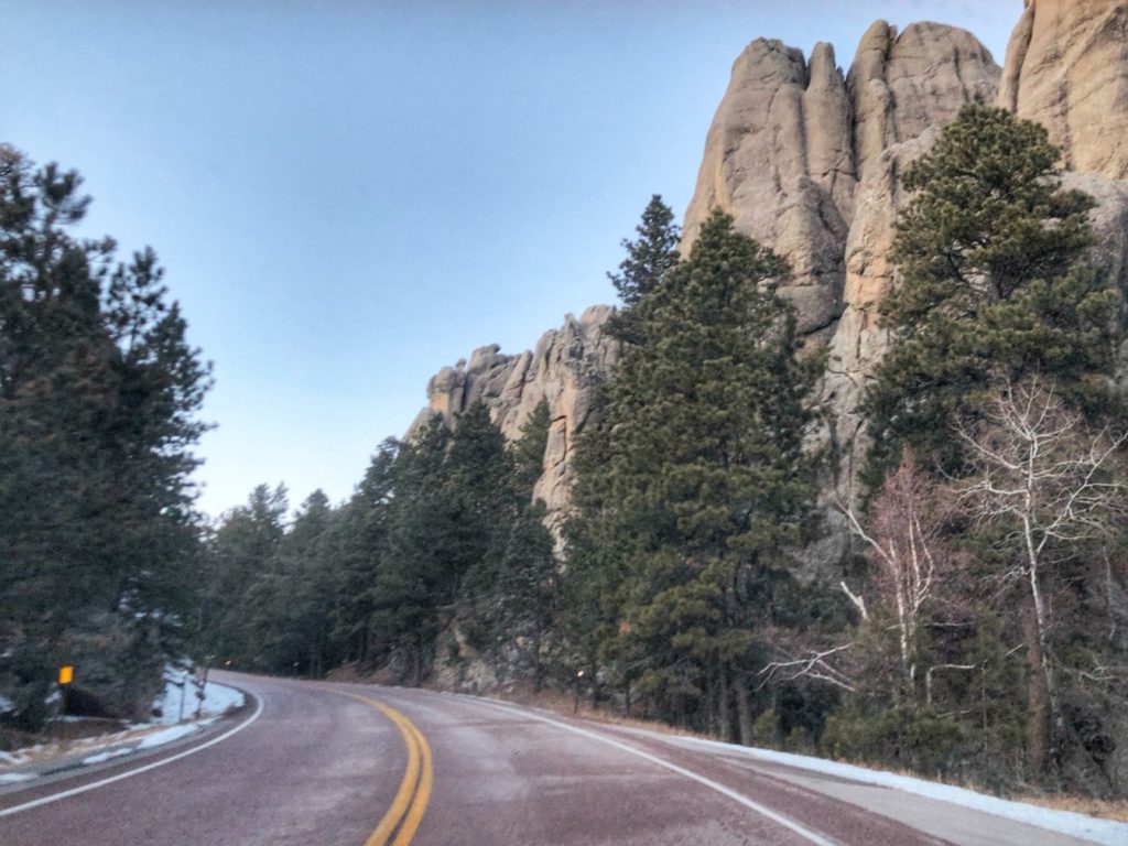
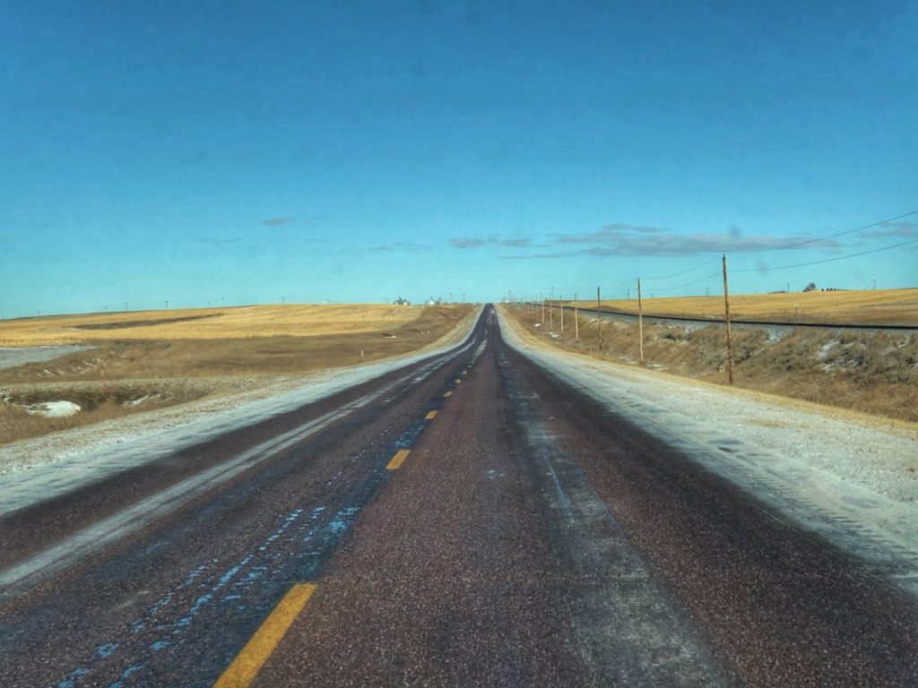
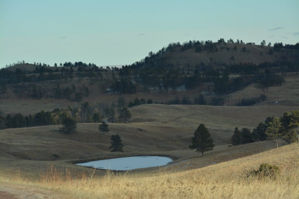
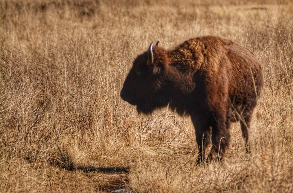
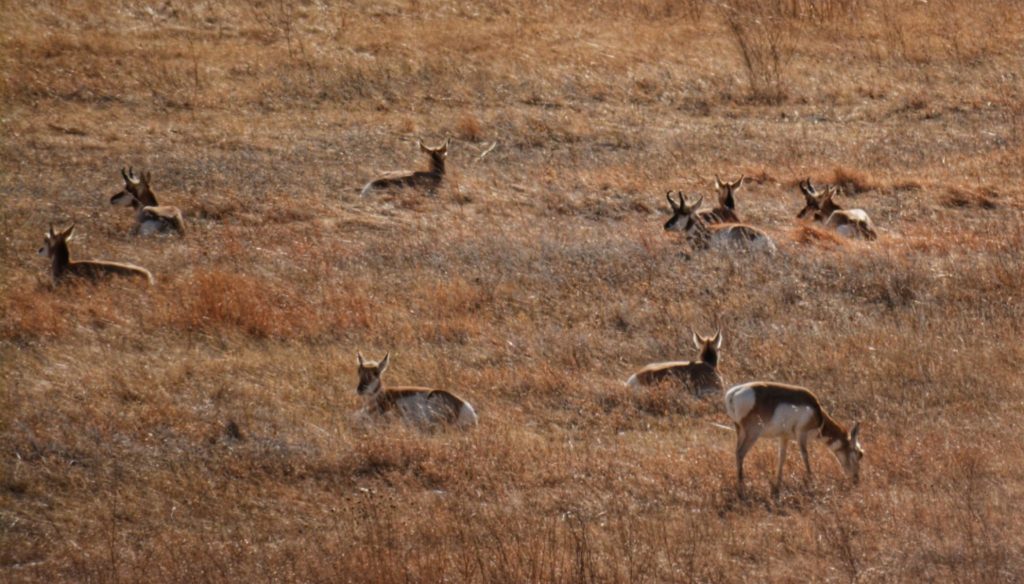
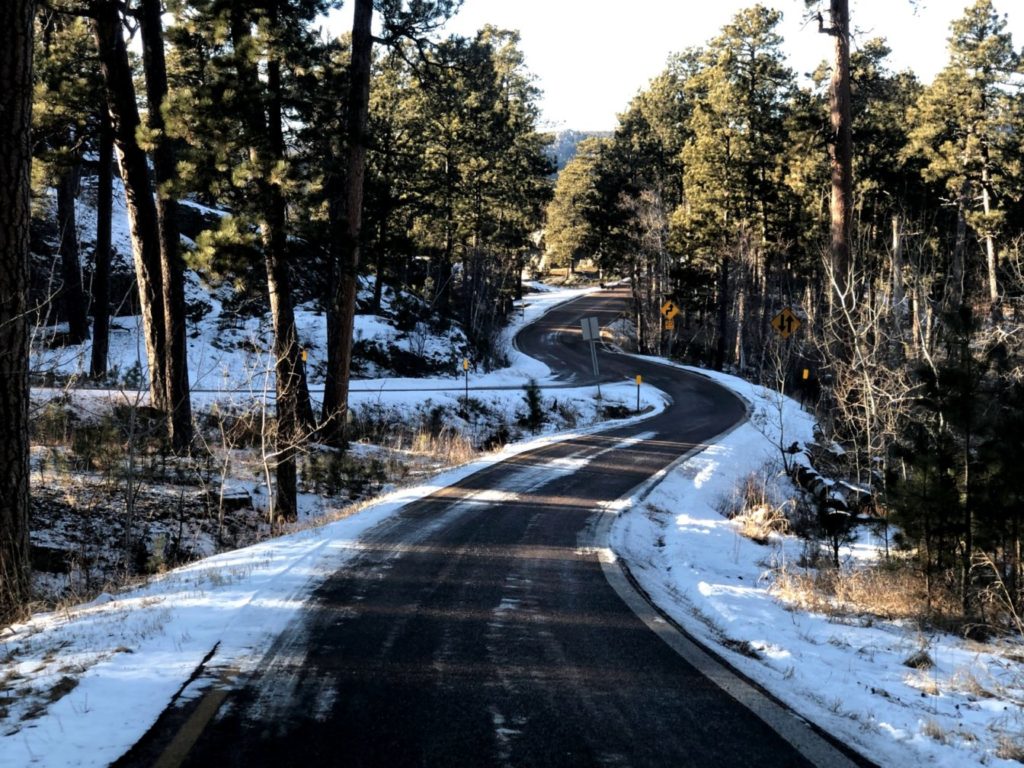
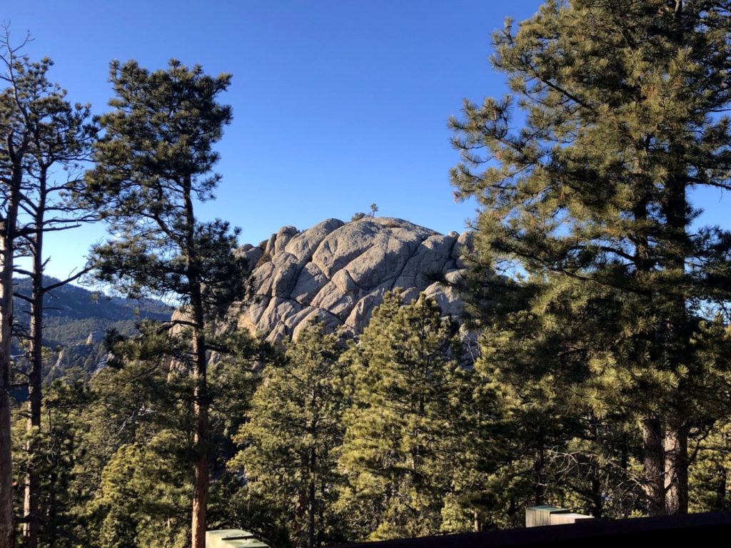
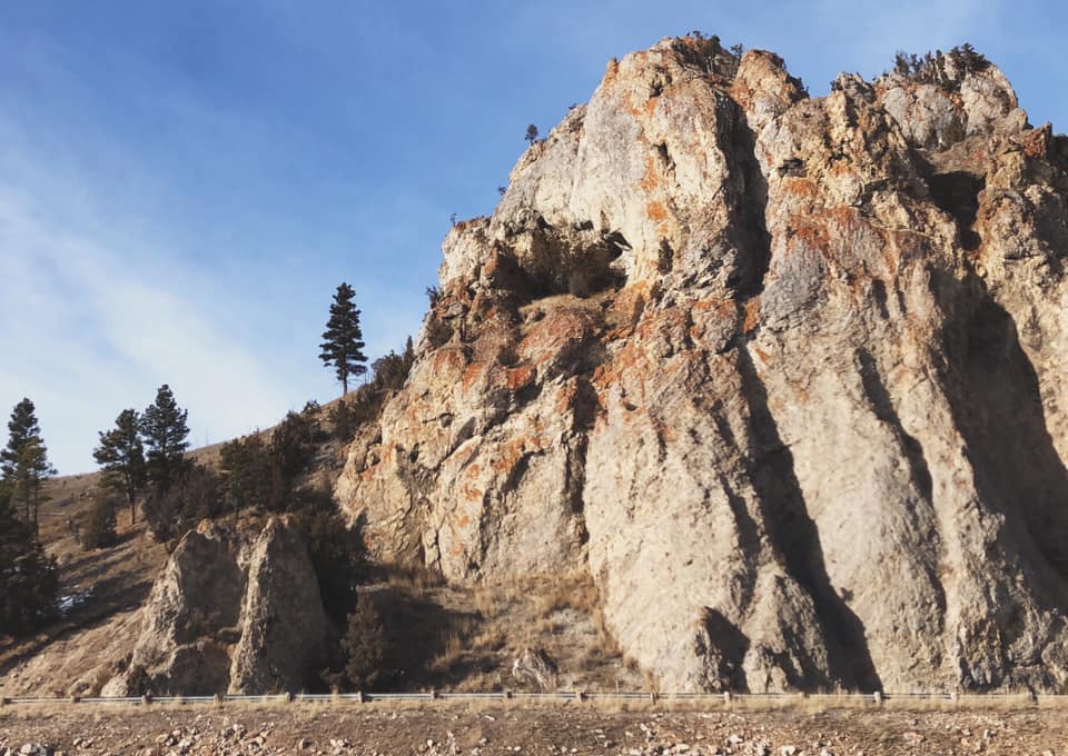
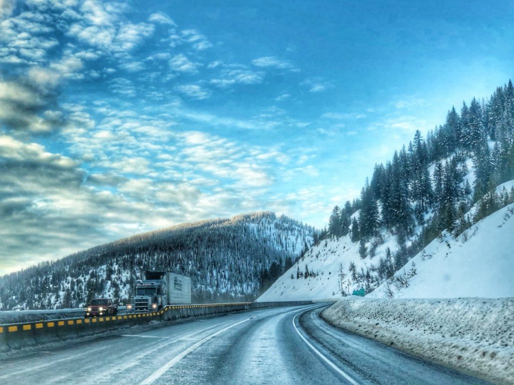
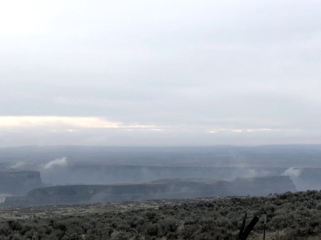
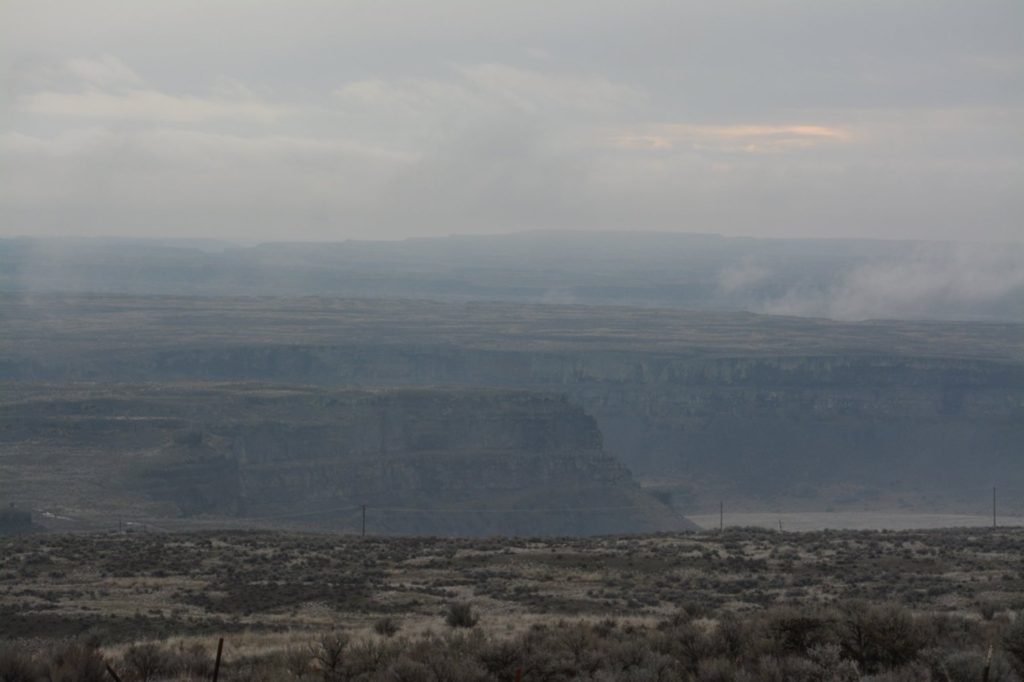
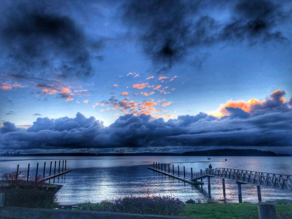
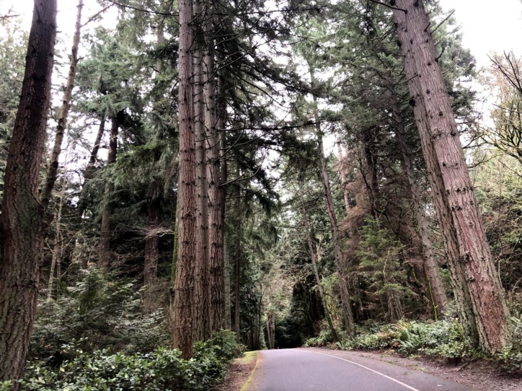
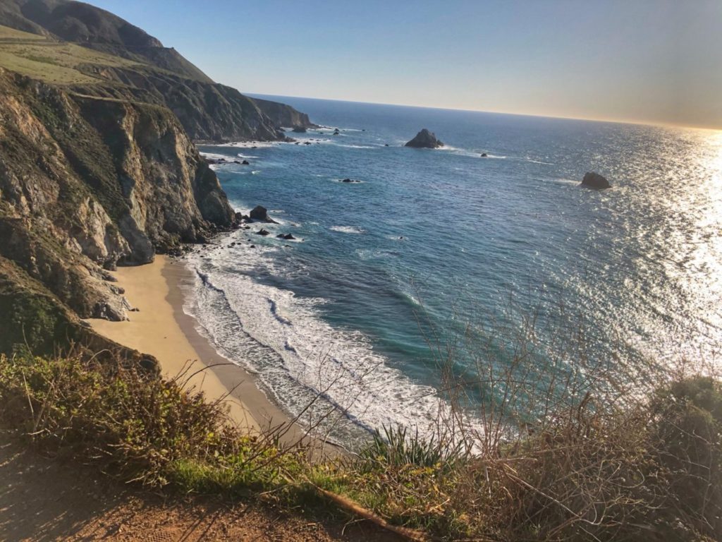
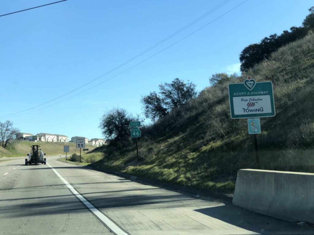
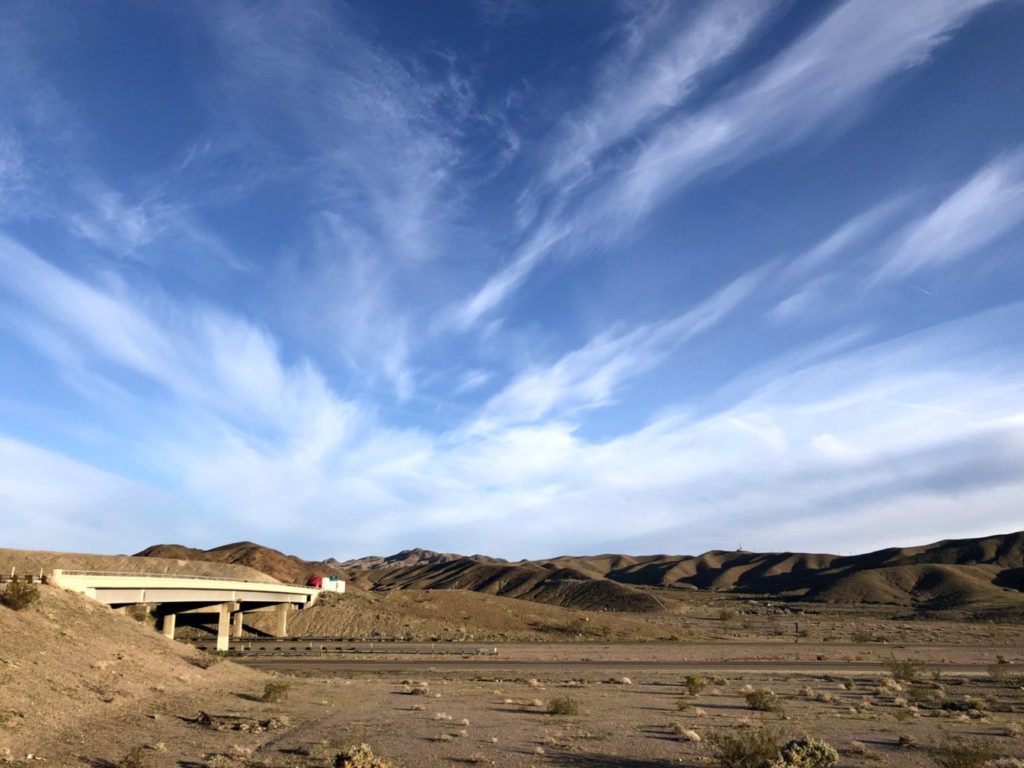
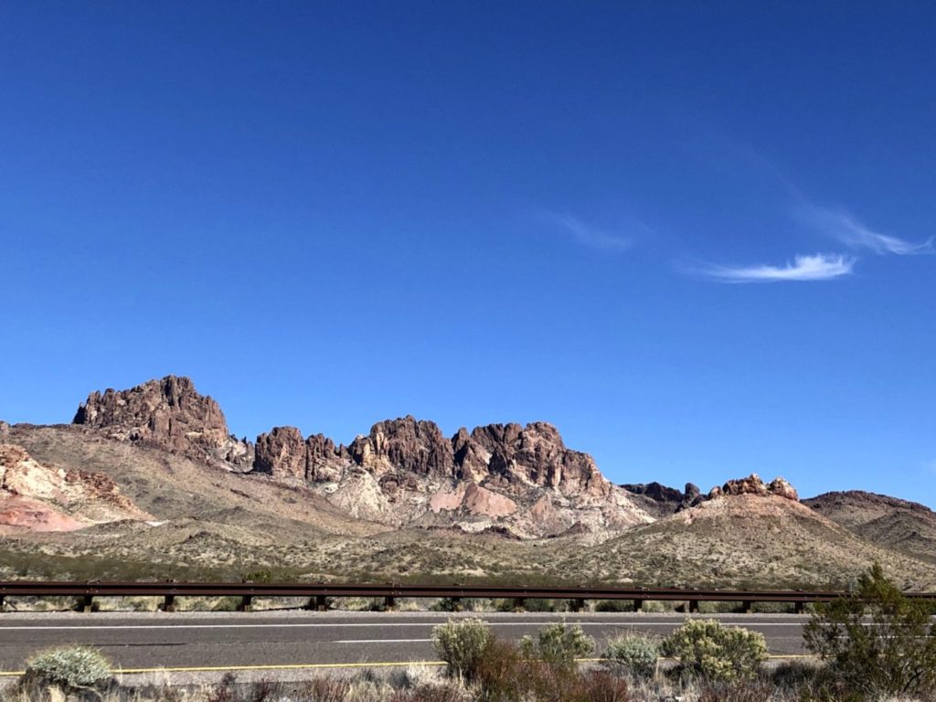
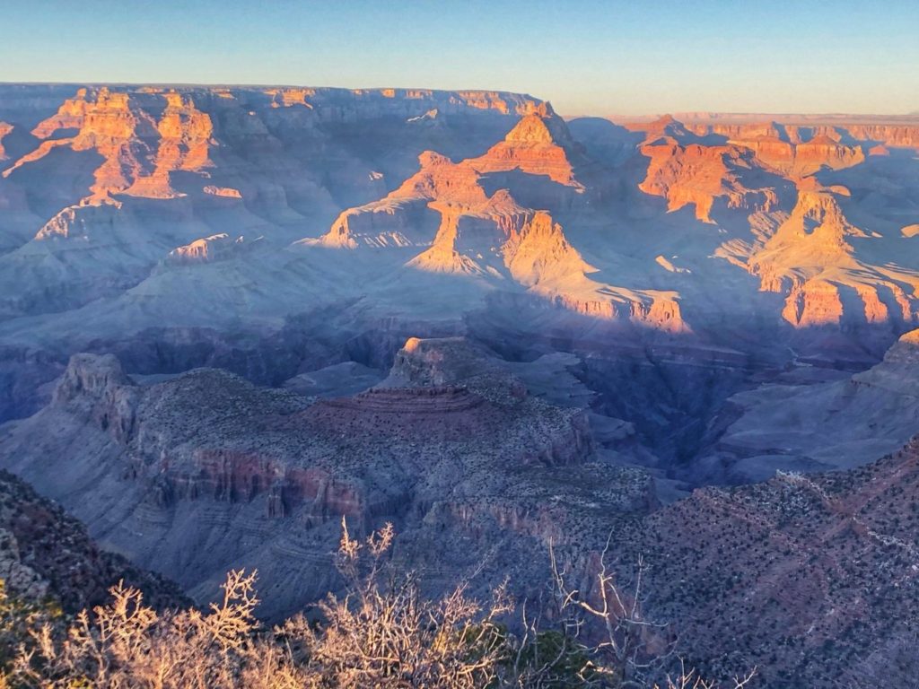
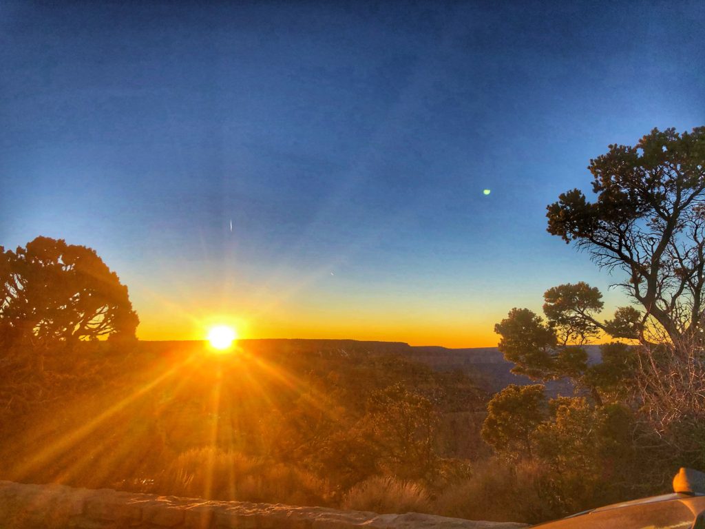
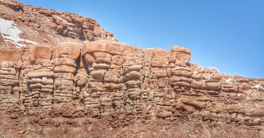
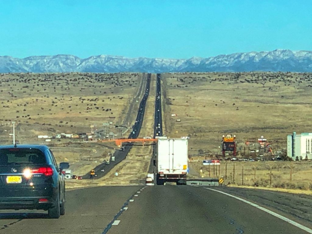
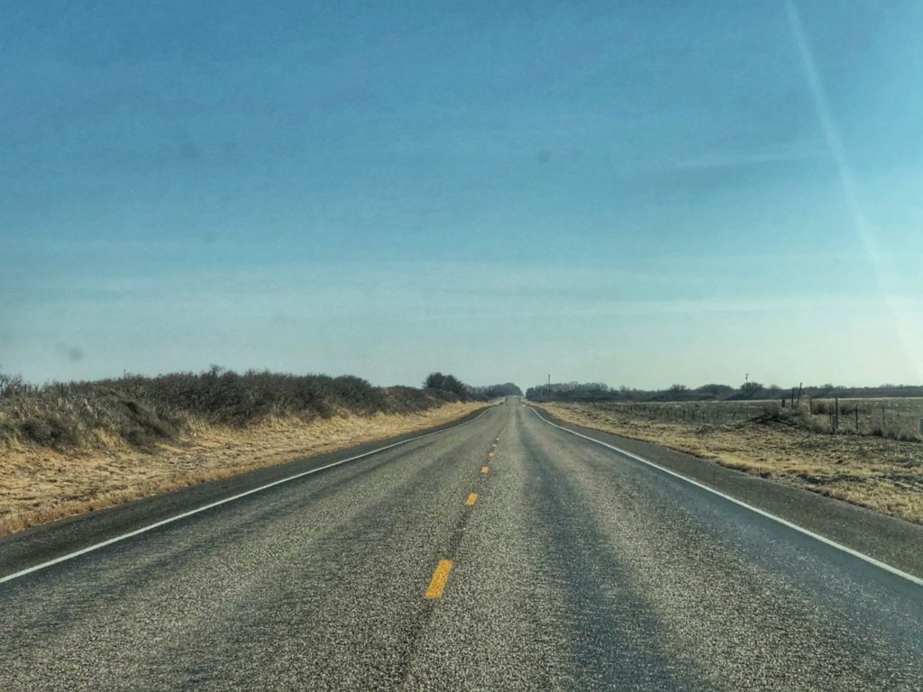
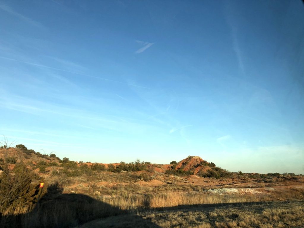
More geese in a field, this time near Provo, South Dakota just a few miles north of the Nebraska borderSnow covered hills as seen from South Dakota Highway 471 near EdgemontUS Highway 18 near Edgemont, South DakotaHeading north on US Highway 18 near Hot Springs, South Dakota as we approach Wind Cave National ParkEntering the hill country of southwest South Dakota on Highway 87 near Buffalo GapSome hill country between Wind Cave National Park and Custer State Park in South DakotaA small pond in Custer State Park South DakotaA bison grazes in the grasslands of Custer State ParkA small group of Prong-horned Antelope relax peacefully in the grassland as seen from Wildlife Loop Road in Custer State ParkLayers of landscape near the entrance to Iron Mountain Road north of Custer State ParkA winding US Route 16A heading up Iron Mountain Road towards KeystoneGranite outcropping as seen on Hwy 16A Iron Mountain RoadThe splendid view from the top of Iron Mountain Road south of Keystone, South DakotaSD Hwy 244 north of Mount Rushmore near Keystone, South Dakota
WYOMING
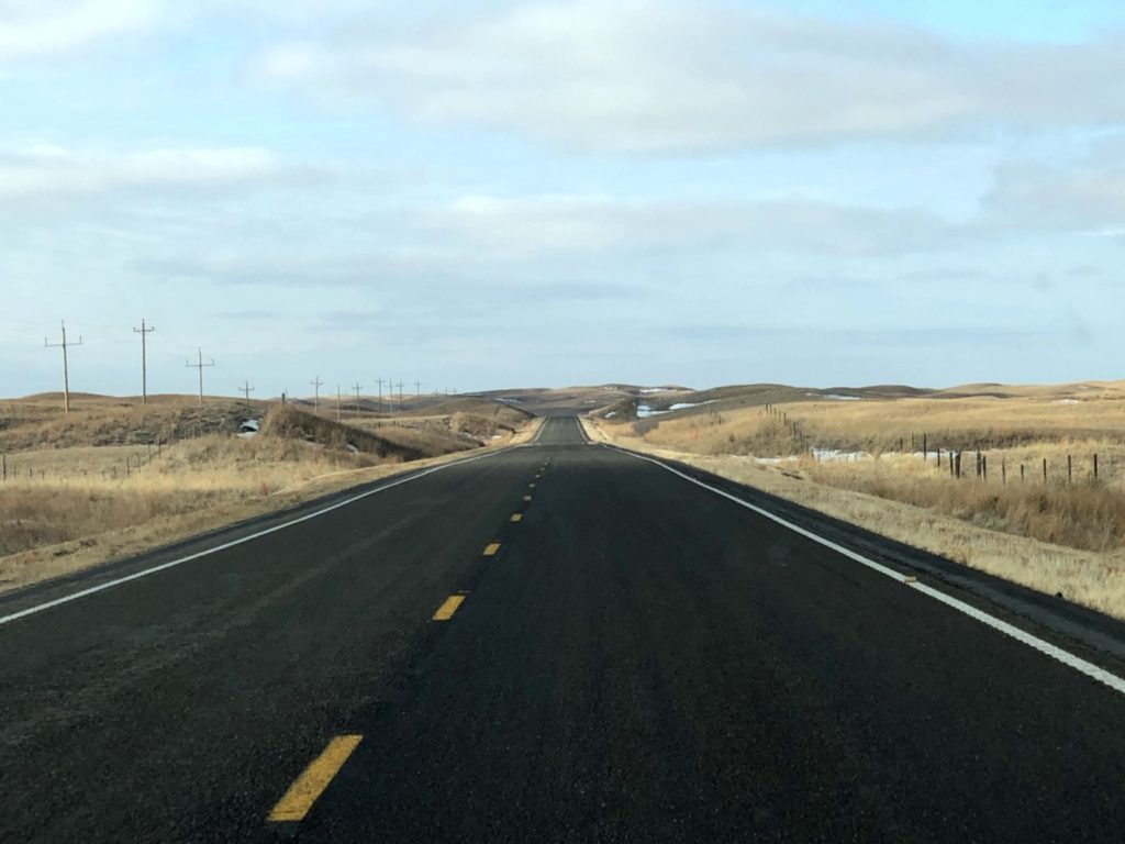
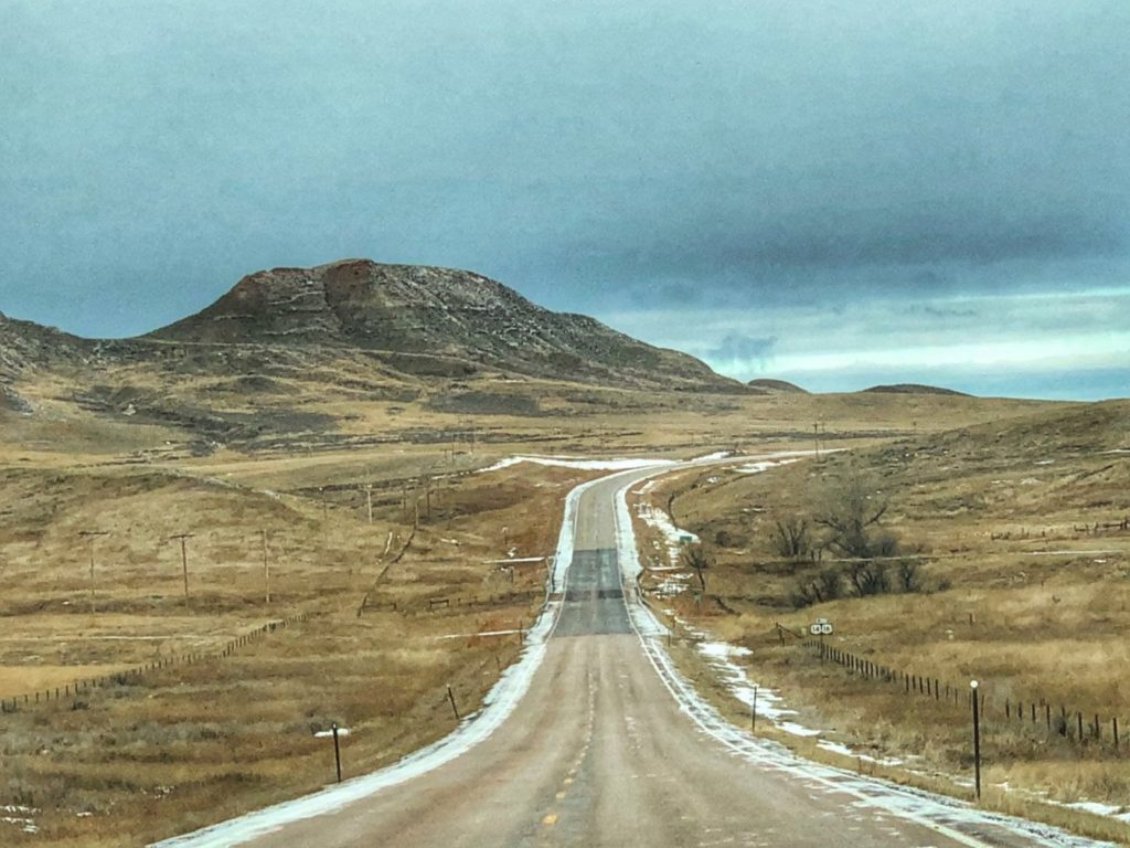
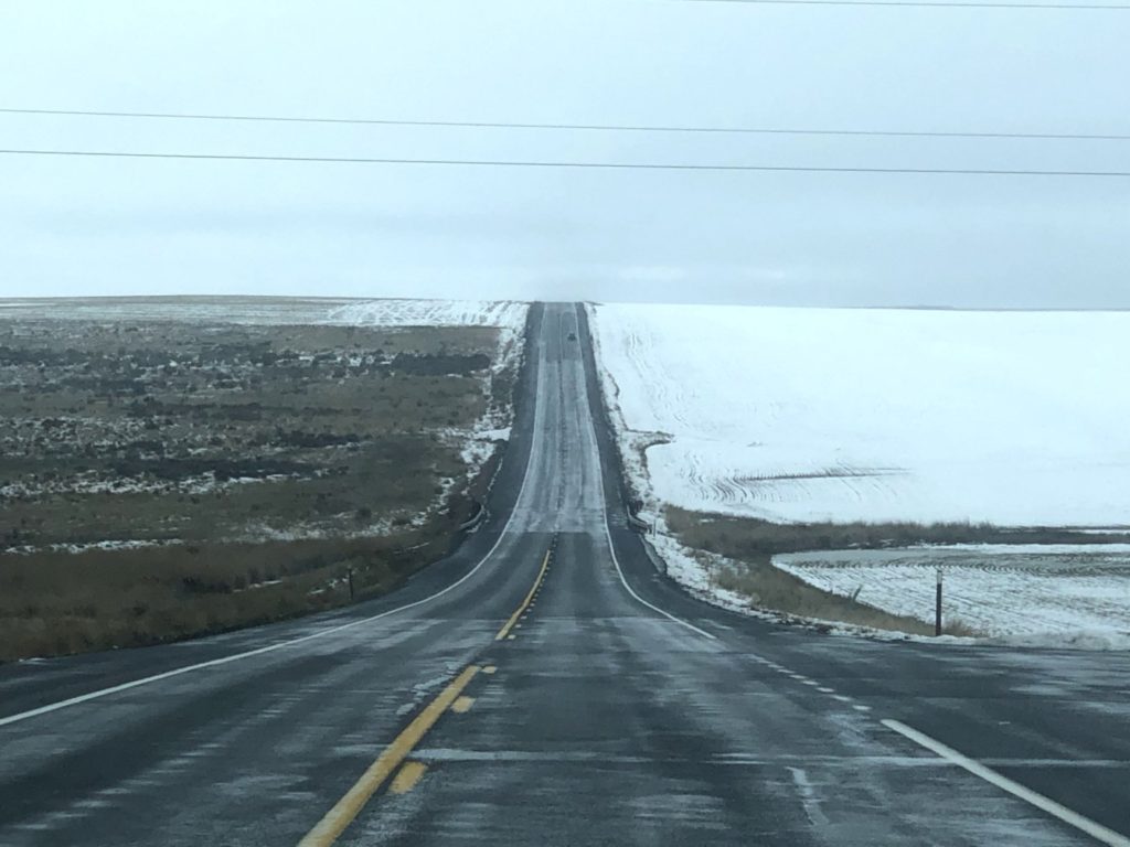
US Highways 14/16 heading north near Wildcat, WyomingHigh plains of northeast Wyoming. This is on US Highway 14/16 near Clearmont, WyomingUS Highway 14 west of Ucross, Wyoming
MONTANA
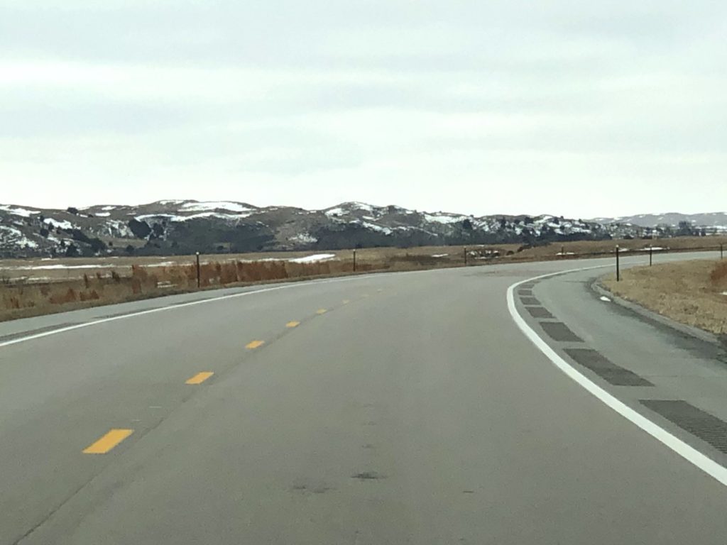
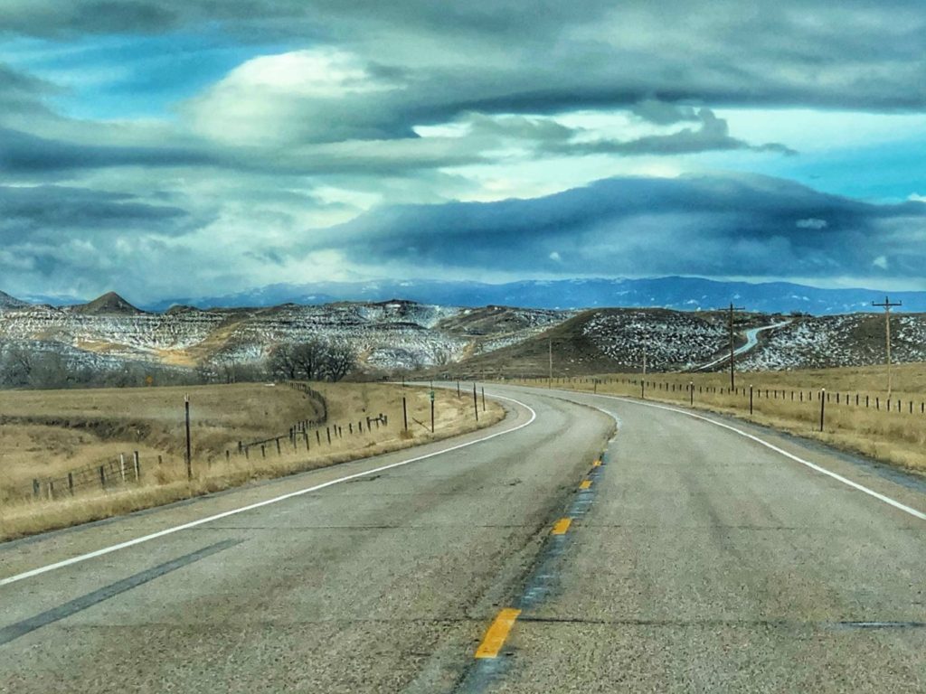
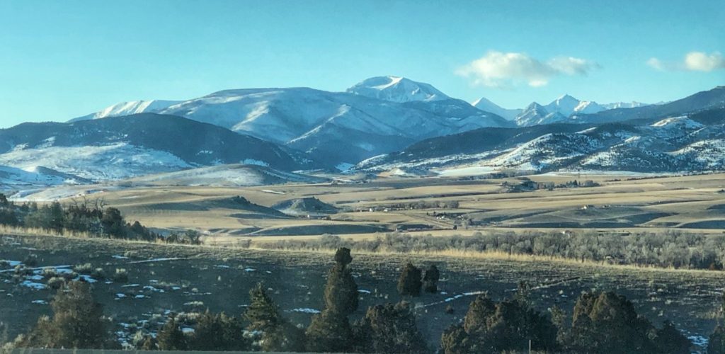
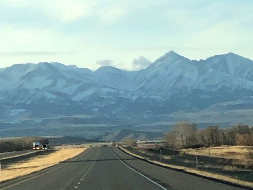
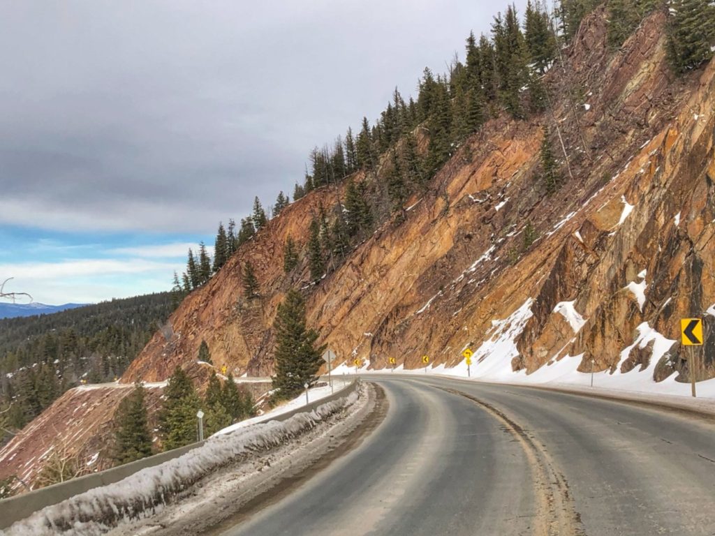
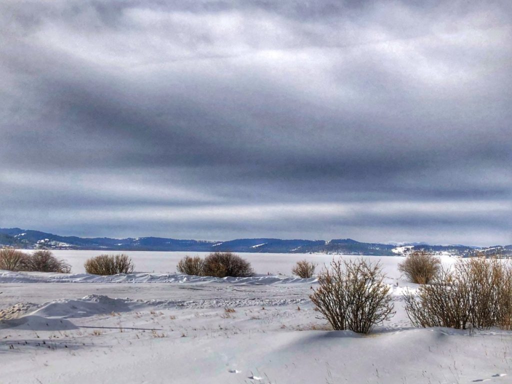
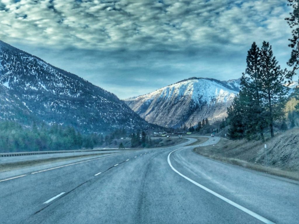
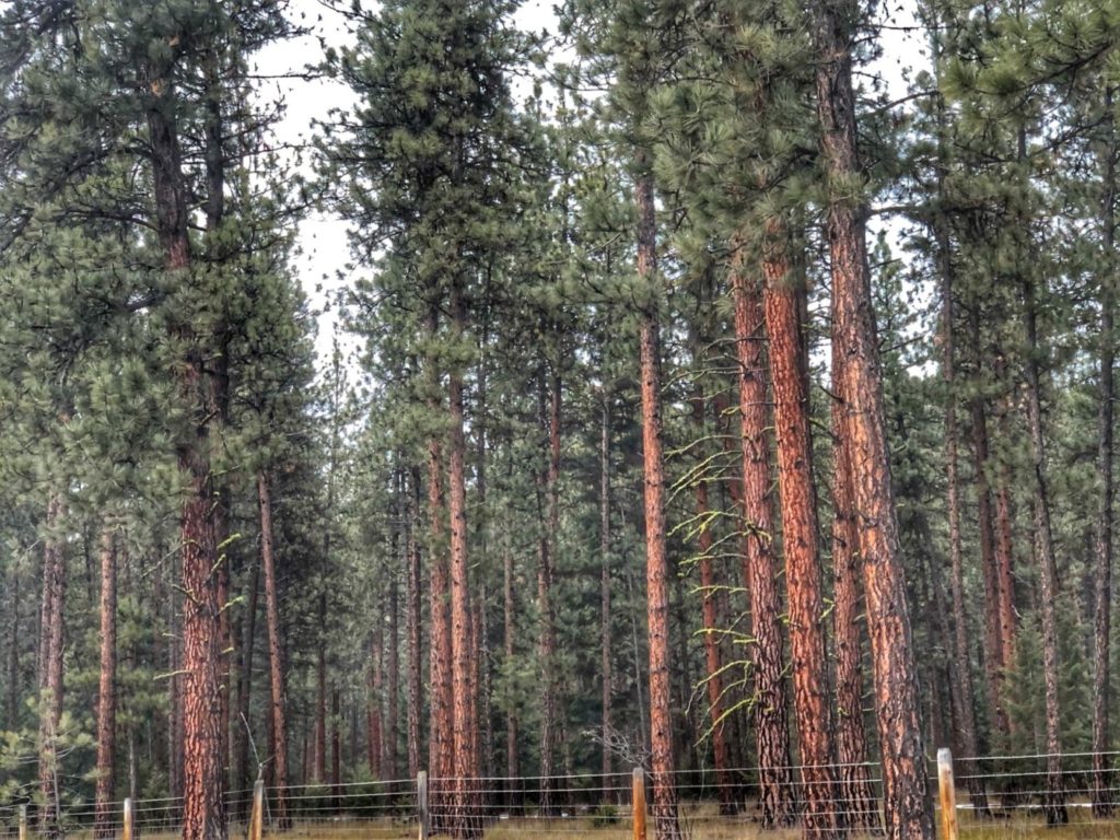
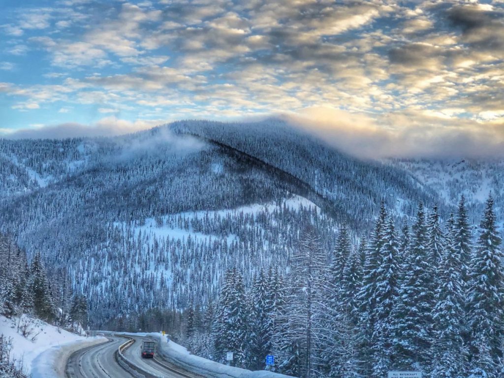
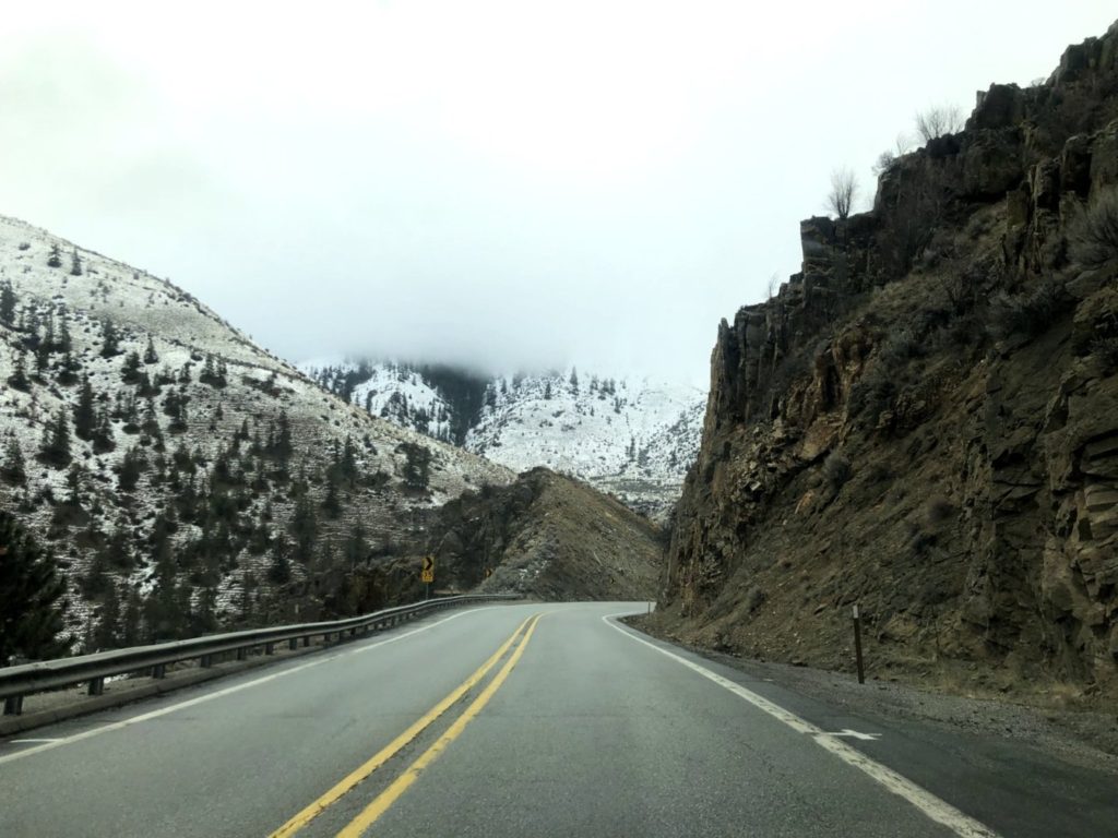
Rock formations in southeast MontanaScenic view from Little Bighorn National Monument near Garryowen, MontanaThe Highland Mountains near Cardwell, MontanaHeading into the mountains Interstate 90 near Cardwell, MontanaA view of the mountains that surround Bozeman, Montana as seen from Big Timber on I-90Montana Highway 1 near Anaconda, MontanaMontana Highway 1 north of Anaconda, MontanaPintler Highway (Montana Highway 1) north of AnacondaSnow and Ice Covered Georgetown Lake west of Anaconda, MontanaInterstate 90 northwest of Drummond, MontanaMcLeod Peak as seen from I-90 near Wye, Montana west of MissoulaDriving high into the mountains near Lothrop, Montana on I-90Tall Ponderosa Pines near Quartz, MontanaThe mountains near Borax, Montana on I-90 as we approach the Idaho borderApproaching Lookout Pass at 4,710 feet on the Montana / Idaho borderThe view of Idaho as seen from Lookout Pass on the Montana / Idaho border
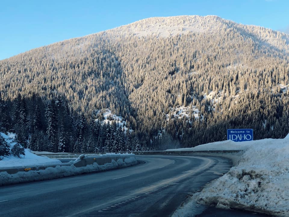
IDAHO
Heading downhill into Idaho from Lookout Pass
We arrived in Idaho as it turned dark and stayed near the Washington border so we didn’t get any other photos of Idaho.
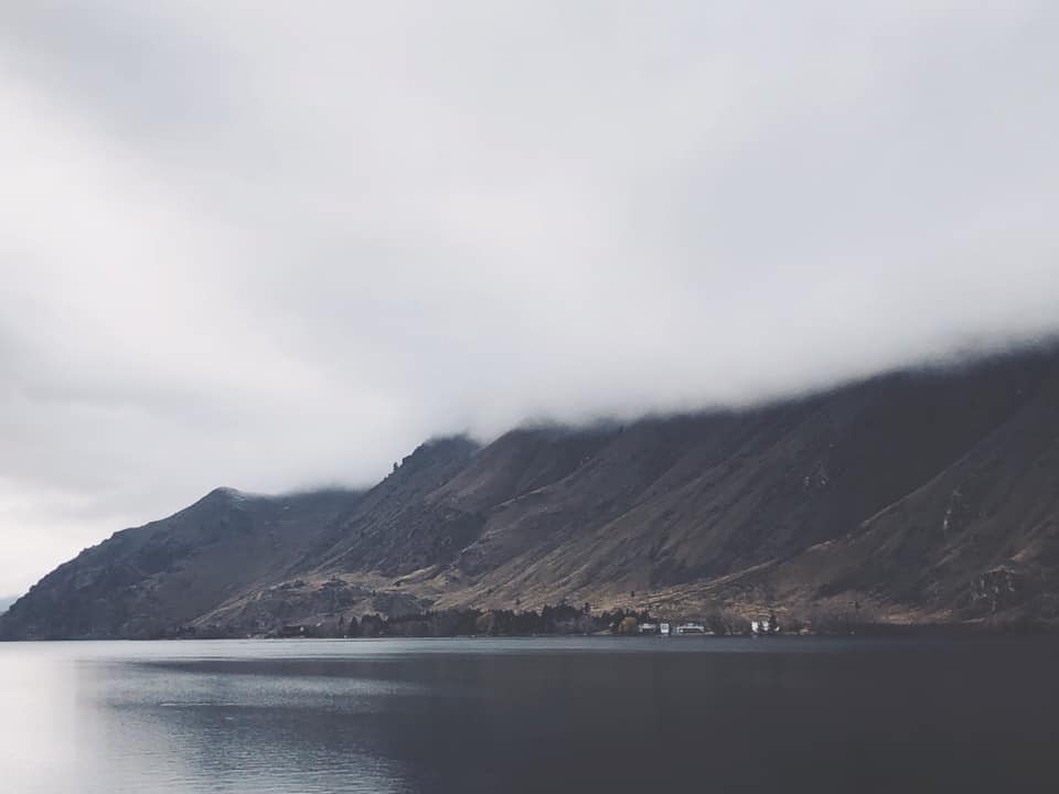
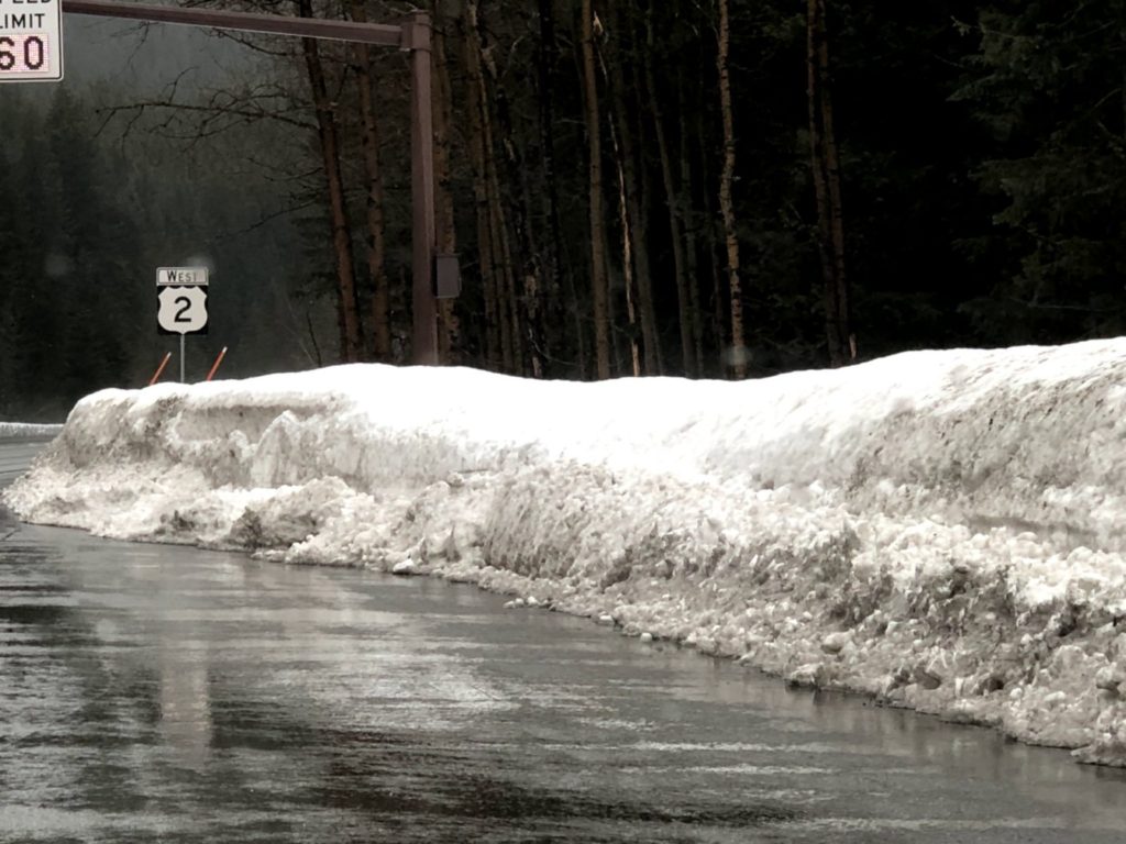
WASHINGTON
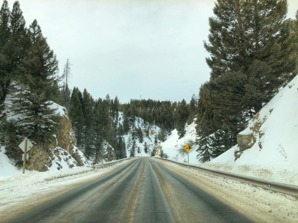
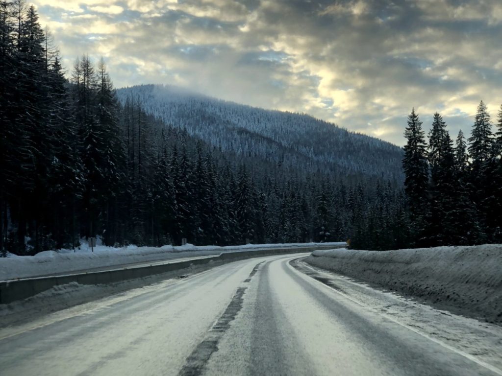
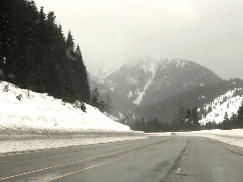
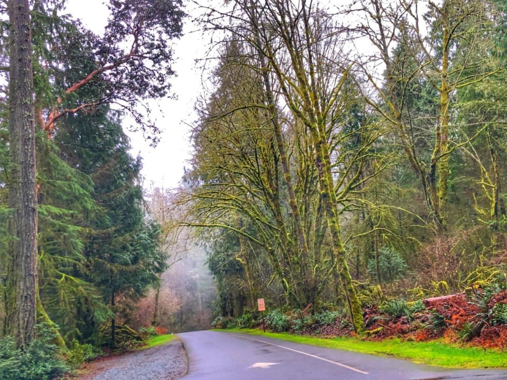
US Highway 2 near Reardan, WashingtonFrom Highway 2 there is a wonderful view of the canyons of Sun Lakes Dry Falls State Park. It was a foggy morning so not as clear as would have been desiredAnother look down on the Sun Lakes Dry Falls State Park CanyonsUS Highway 2 east of Waterville, WashingtonUS Highway 2 near Pine Canyon, WashingtonA verdant view of the Columbia River near East Wenatchee, WashingtonAnother view of the Columbia River in Wenatchee, WashingtonHeading up into the Cascade Mountains west of Leavenworth, Washington on US Highway 2Snow-covered roadside on US Highway 2 at Stevens Pass in WashingtonLichtenburg Mountain as seen from US Hwy 2 near Stevens Pass
We eventually made our into Port Orchard, Washington on the Kitsap Peninsula, where we stayed with my daughter for a week. A few day trips in the area provided some nice scenery.
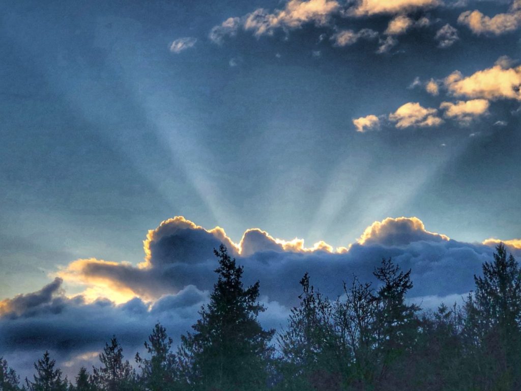
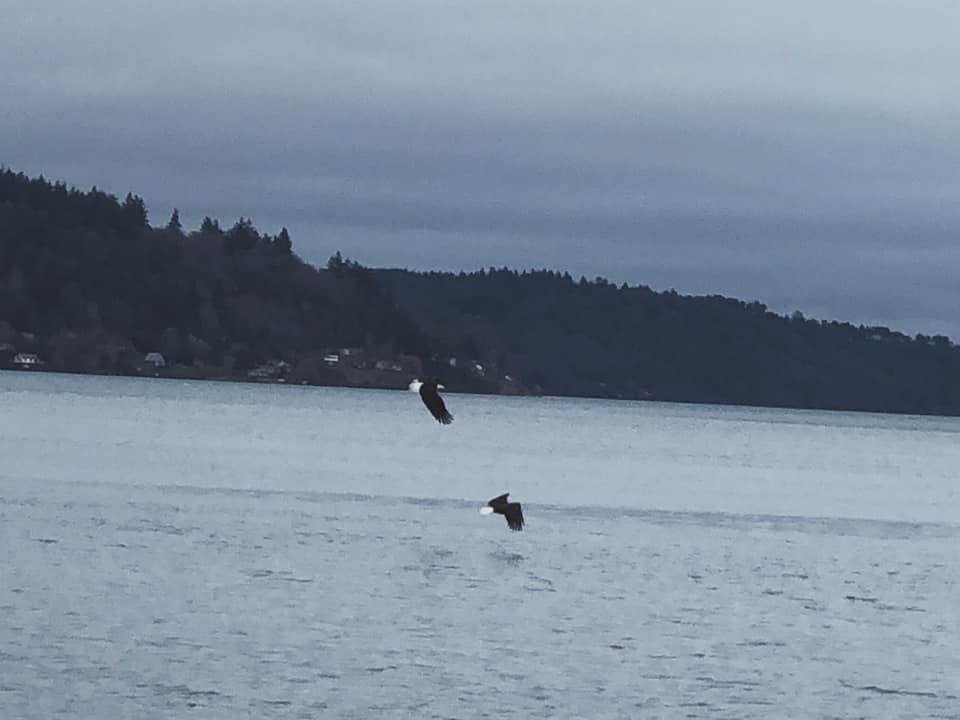
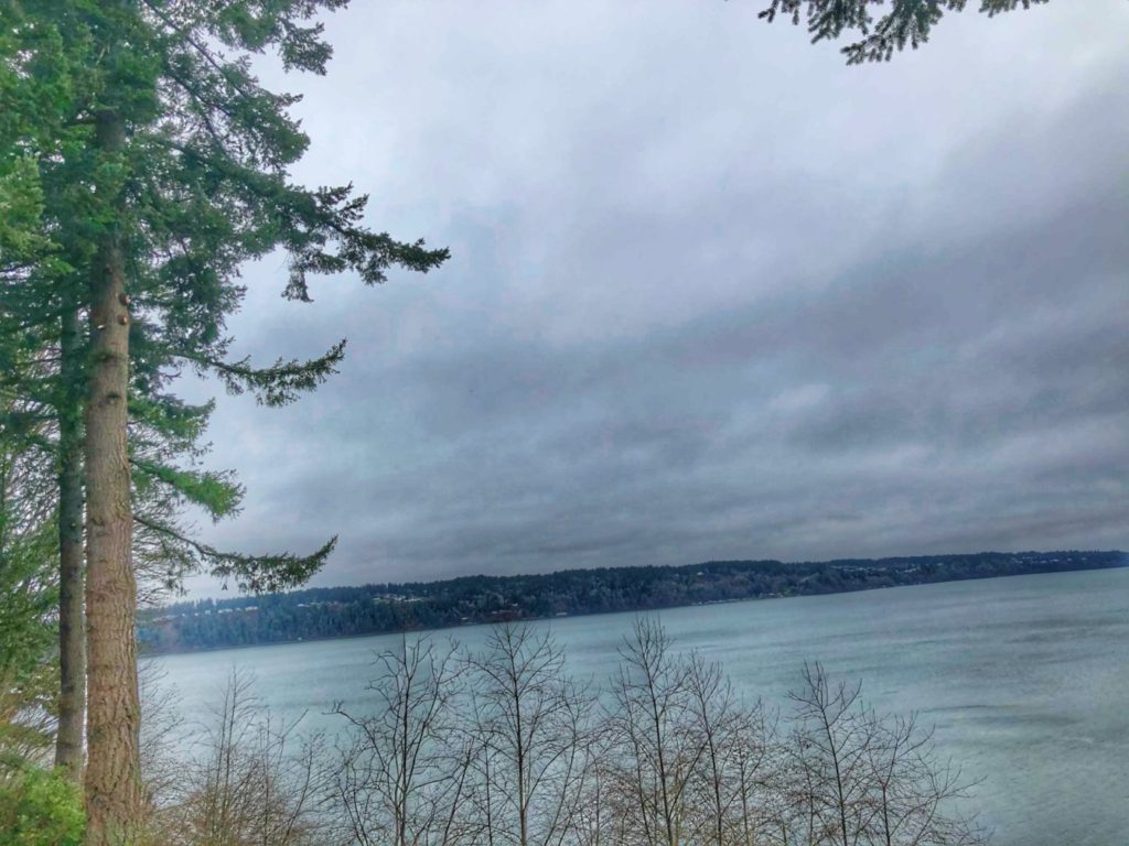
Looking at to Clam Bay from Manchester, Washington in the early morningSunbeams explode from a cloud near Manchester, WashingtonSunrise on Puget Sound as seen from Manchester, WAA view of Olympic National Park mountains from Scenic Beach State Park near Seabeck, WashingtonDriving through the tall firs and hemlocks of Point Defiance Park in Tacoma, WashingtonMoss covered trees on Five Mile Road in Point Defiance Park in Tacoma, WashingtonEagles flying over Commencement Bay (Photo by Marissa Noe)Dalco Passage as seen from Point Defiance
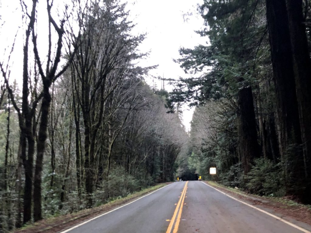
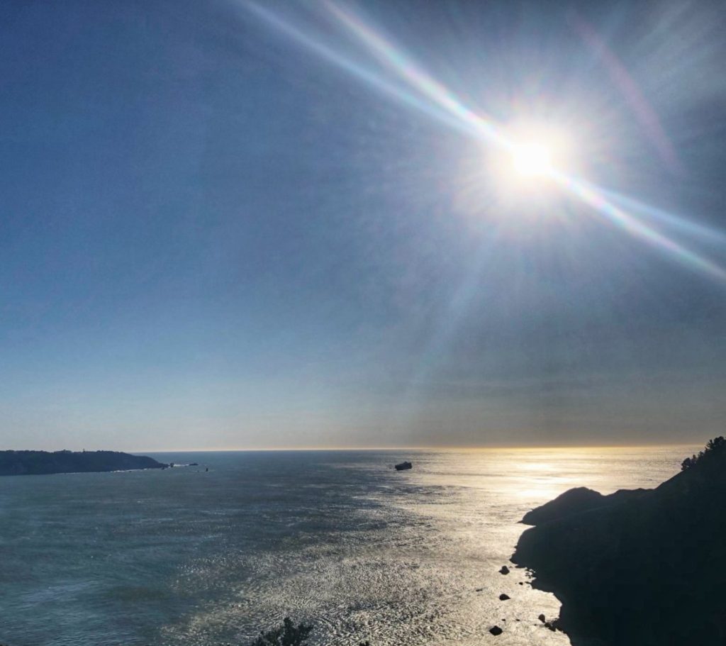
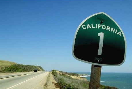
After a long westward trip from Kentucky to Washington, we eventually made our way south along the Pacific Ocean on US Highway 101 from Washington through Oregon and all the way to Santa Cruz, California. From there we took the famed California Highway 1 along the coast through Big Sur.
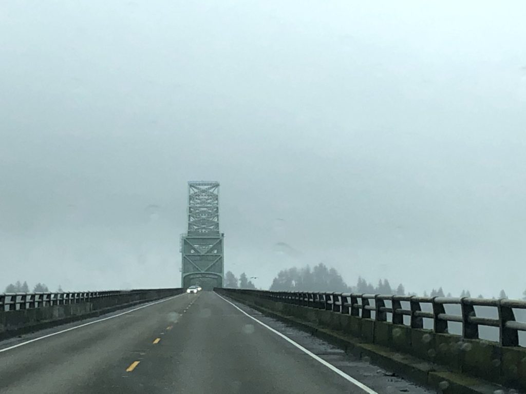
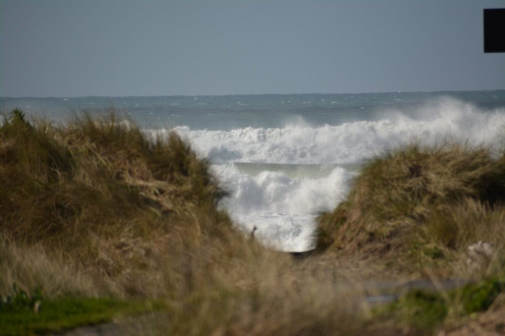
Driving through the forest on US 101 near Middle Nemah, WashingtonView of the North Head Light and huge ocean waves from Long Beach, WashingtonWaves crashing on the Pacific Coast at Long Beach, WashingtonCrossing the Astoria-Megler Bridge over the Columbia River on US 101 south of Chinook, Washington
OREGON
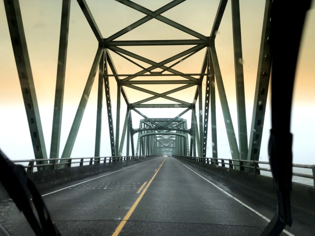
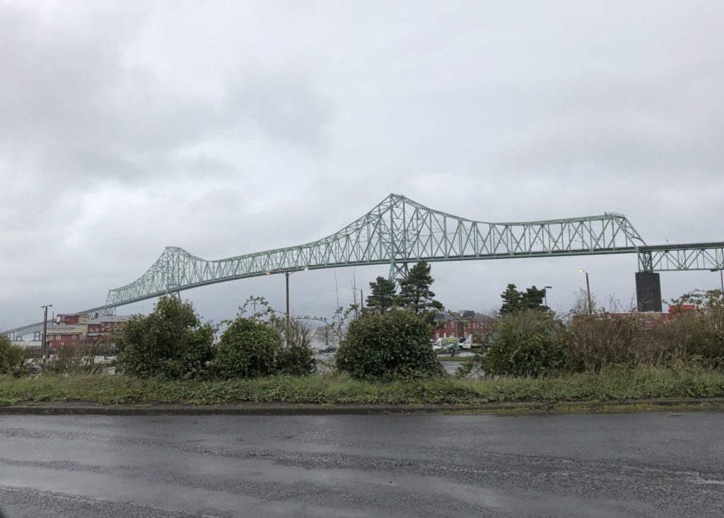
Crossing into Oregon, we drove across the Astoria-Megler Bridge, which is 4.067 miles long and is the longest continuous truss bridge in North America. Really an amazing drive!
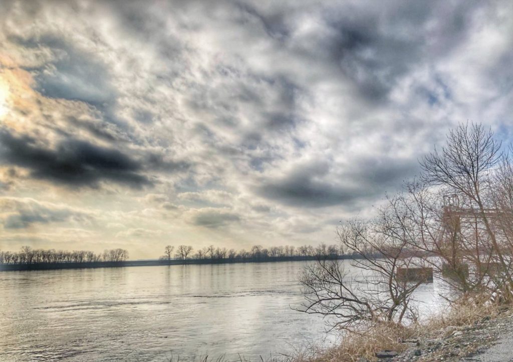
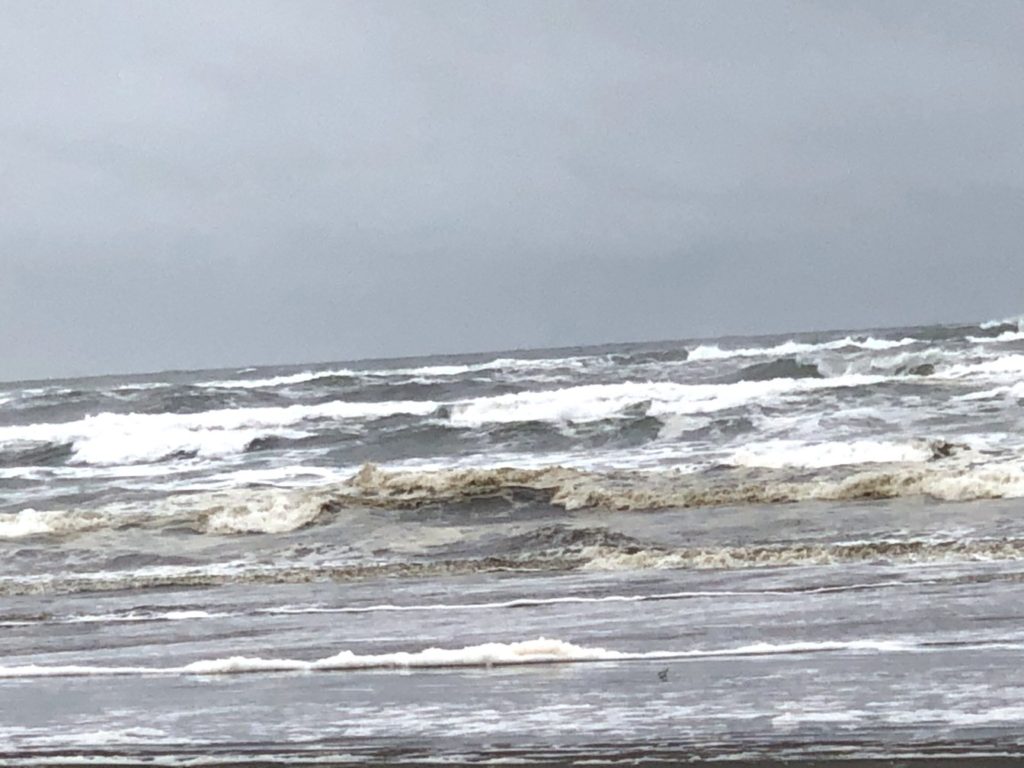
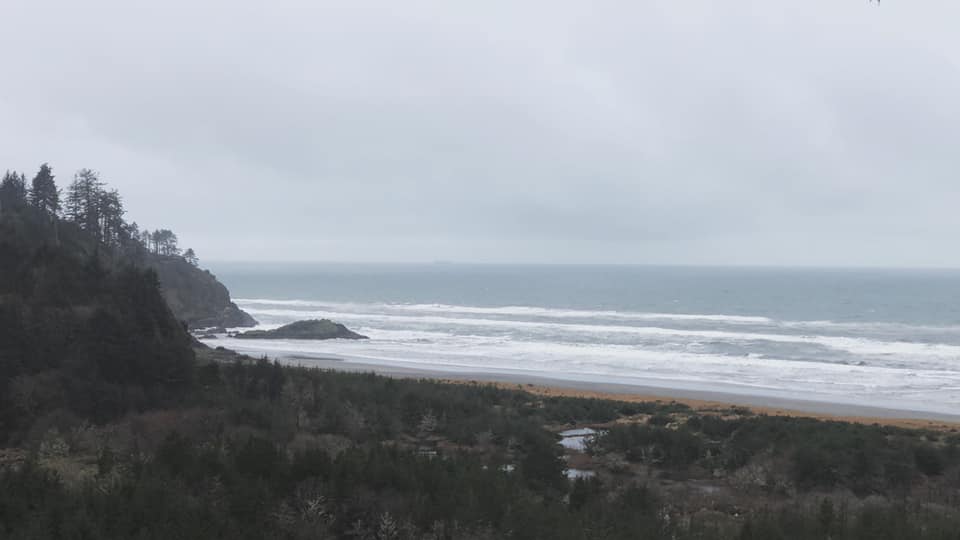
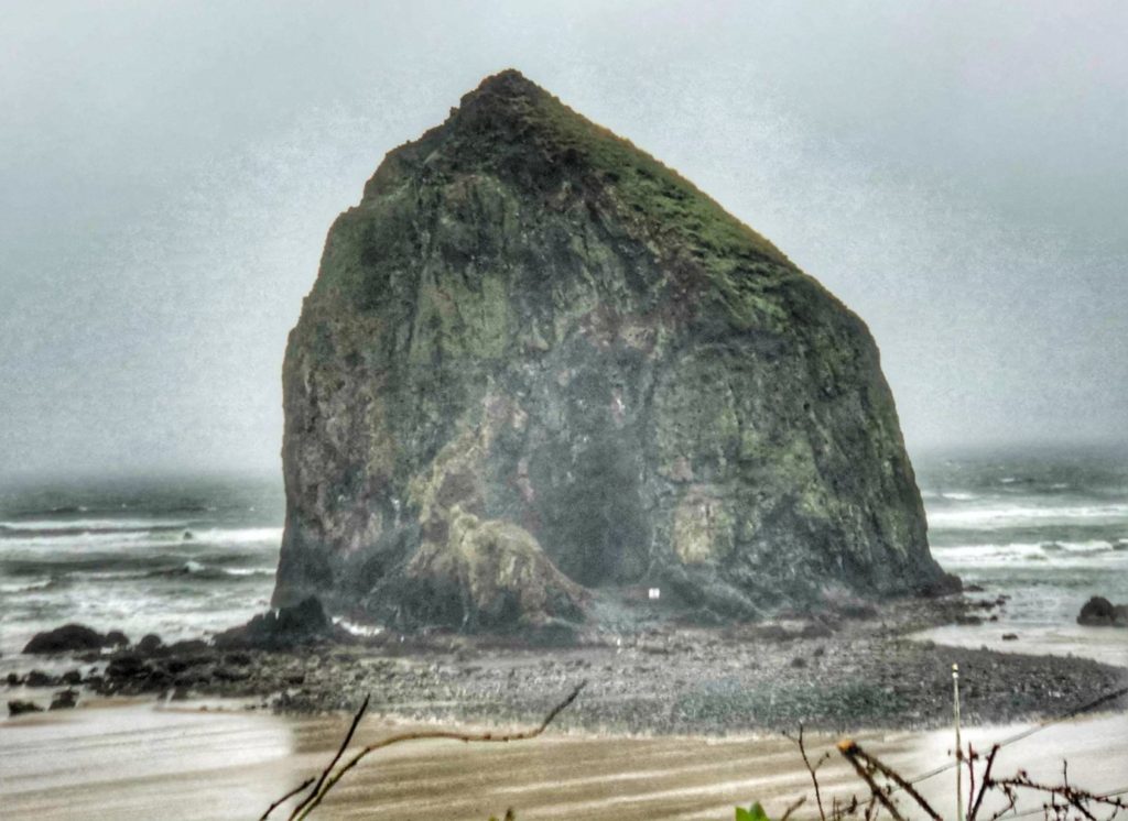
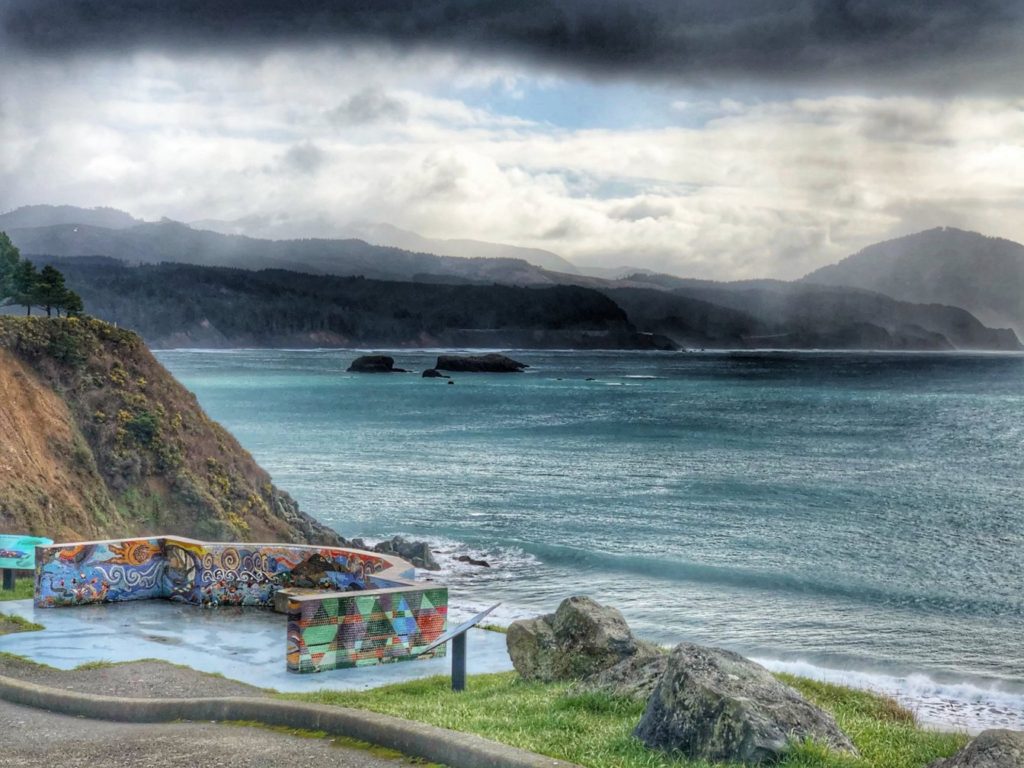
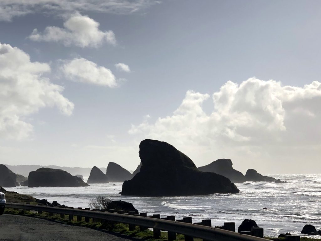
Driving over the Columbia River from Washington and approach to the Astoria-Megler BridgeThe Astoria-Megler Bridge as seen from Astoria, OregonView of the Pacific Ocean from Fort Stevens State Park near Hammond, Oregon235 Foot tall Haystack Rock in Cannon Beach, ORView of Pacific Ocean from North Bend, OregonShining sea of Pacific Ocean near Langlois, OregonPacific Coast as seen from Port Orford, OregonCave Rock as seen from US Hwy 101 south of Gold Beach ORWaves beat upon the shore at Gold Beach, Oregon
CALIFORNIA
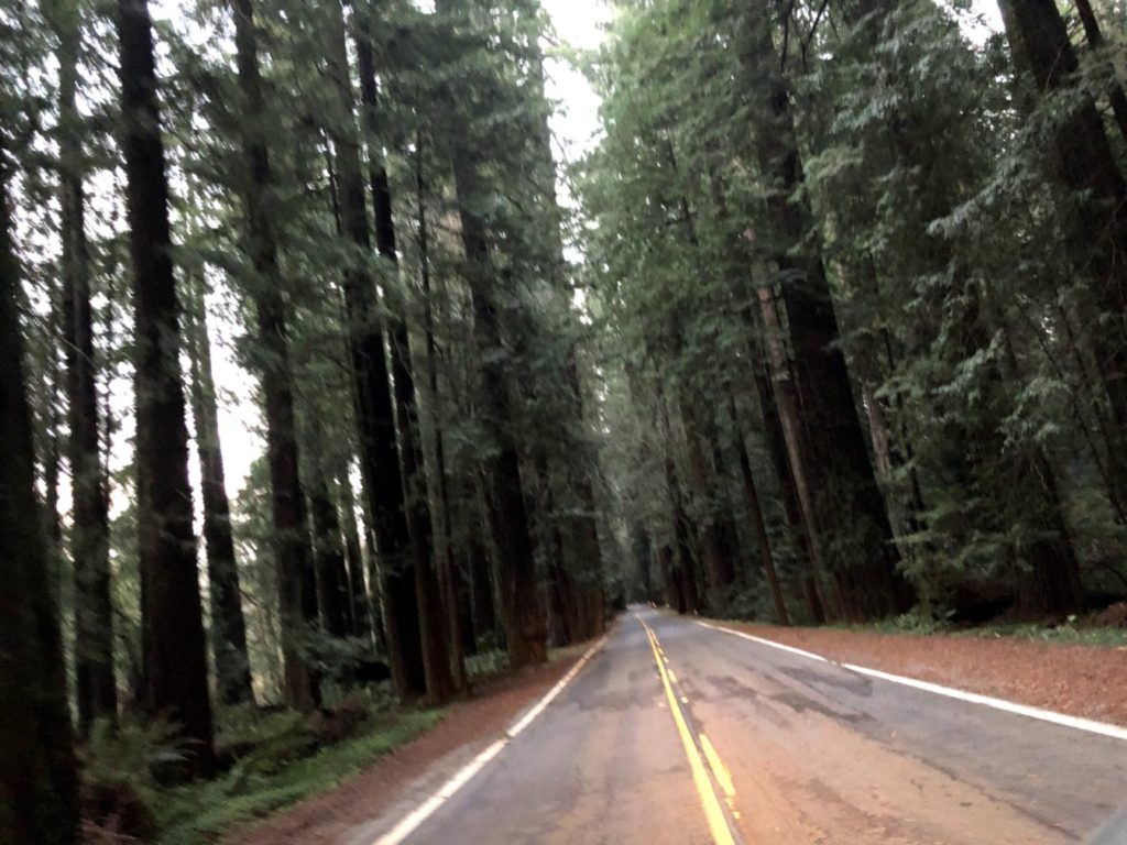
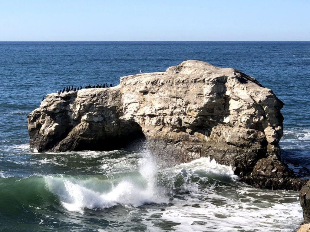
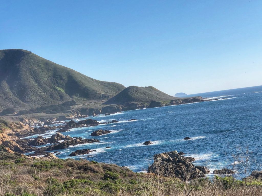
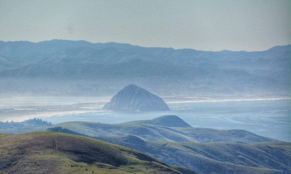
Driving through the trees on US 101 near Trinidad, CaliforniaEntering the Redwood Forest near Scotia CARedwood lined CA Hwy 254 Scotia CAAvenue of the Giants near Scotia, CaliforniaPacific Ocean as seen from US 101 near Klamath, CaliforniaGolden Gate Bay as seen from Golden Gate Viewpoint Mill Valley, CaliforniaBig Rock as seen from Natural Bridges State Beach in Santa Cruz, CaliforniaPacific Ocean from Carmel Highlands, CaliforniaHurricane Point near Big Sur, California as seen from California Highway 1Sunset on the Pacific Ocean as seen from Partington Cove near Big SurCalifornia Highway 1 – Pacific Coast HighwayMorro Rock in Morro Bay near Cambria, CA
We made it as far south as Cambria, California, on the Pacific Coast, before our return trip eastward back to Kentucky. We would take a route that would take us to Sequoia National Park and then through the Mojave Desert.
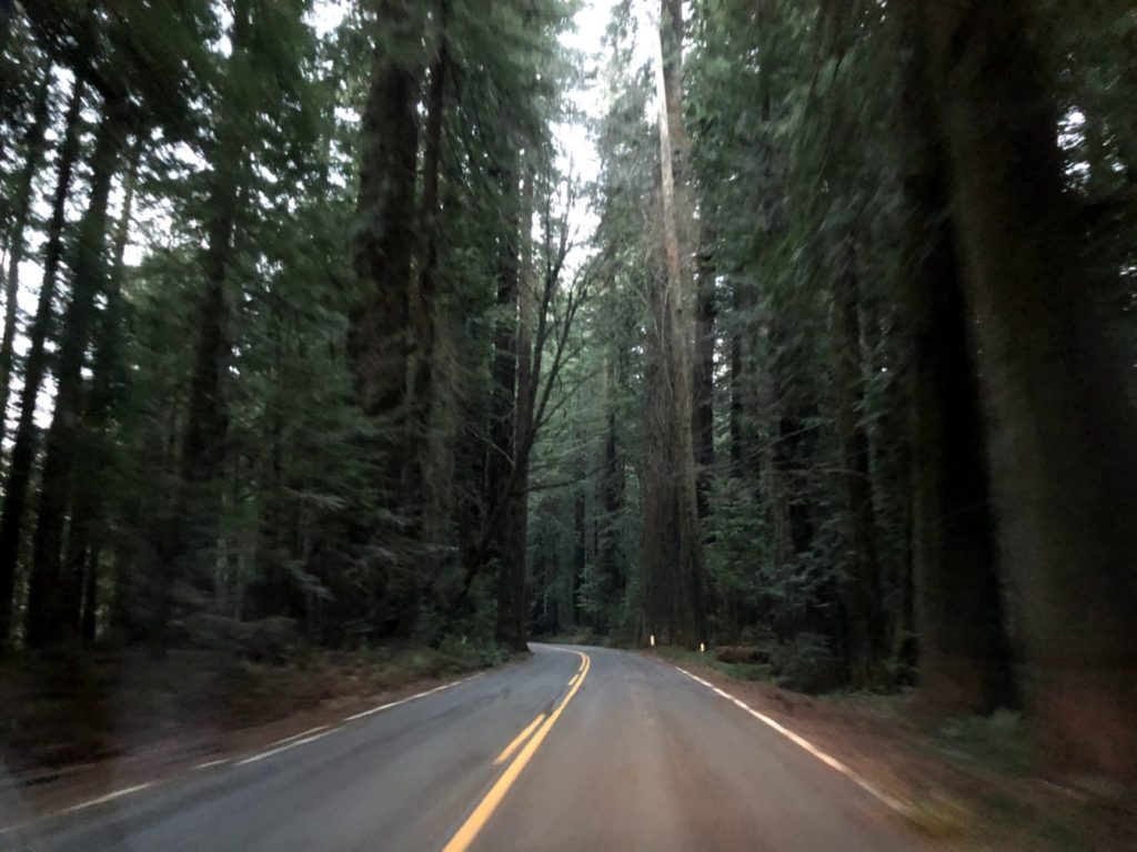
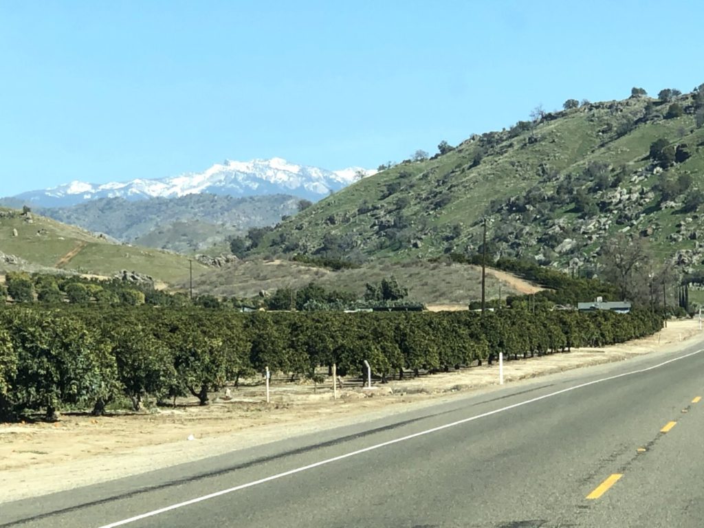
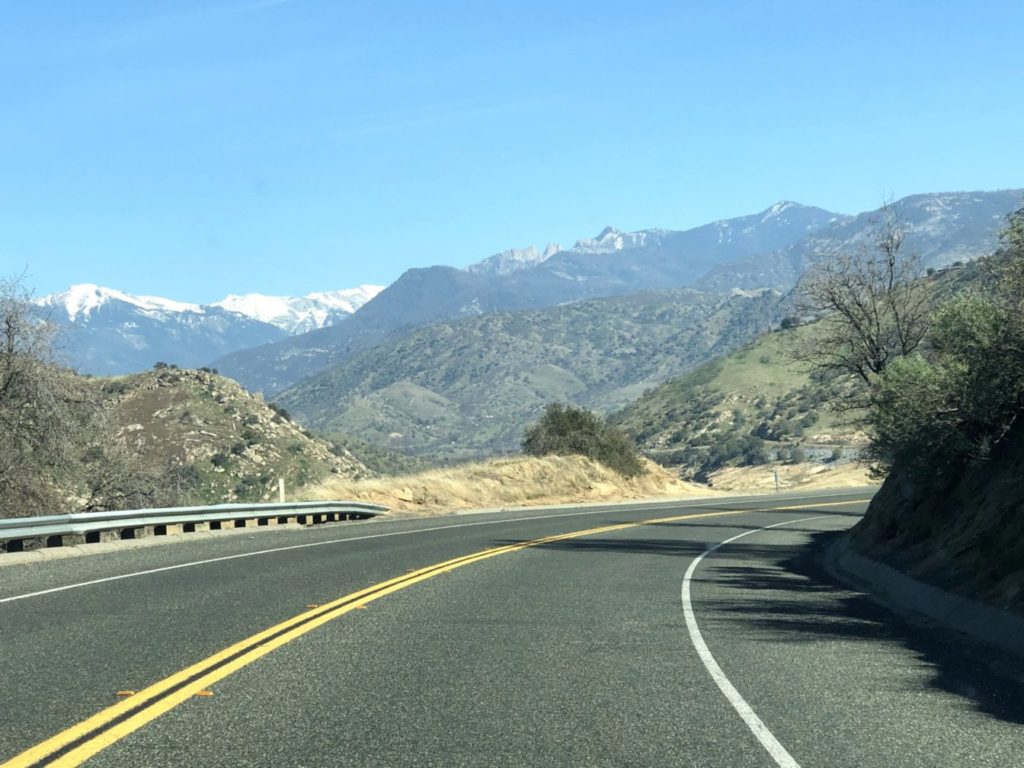
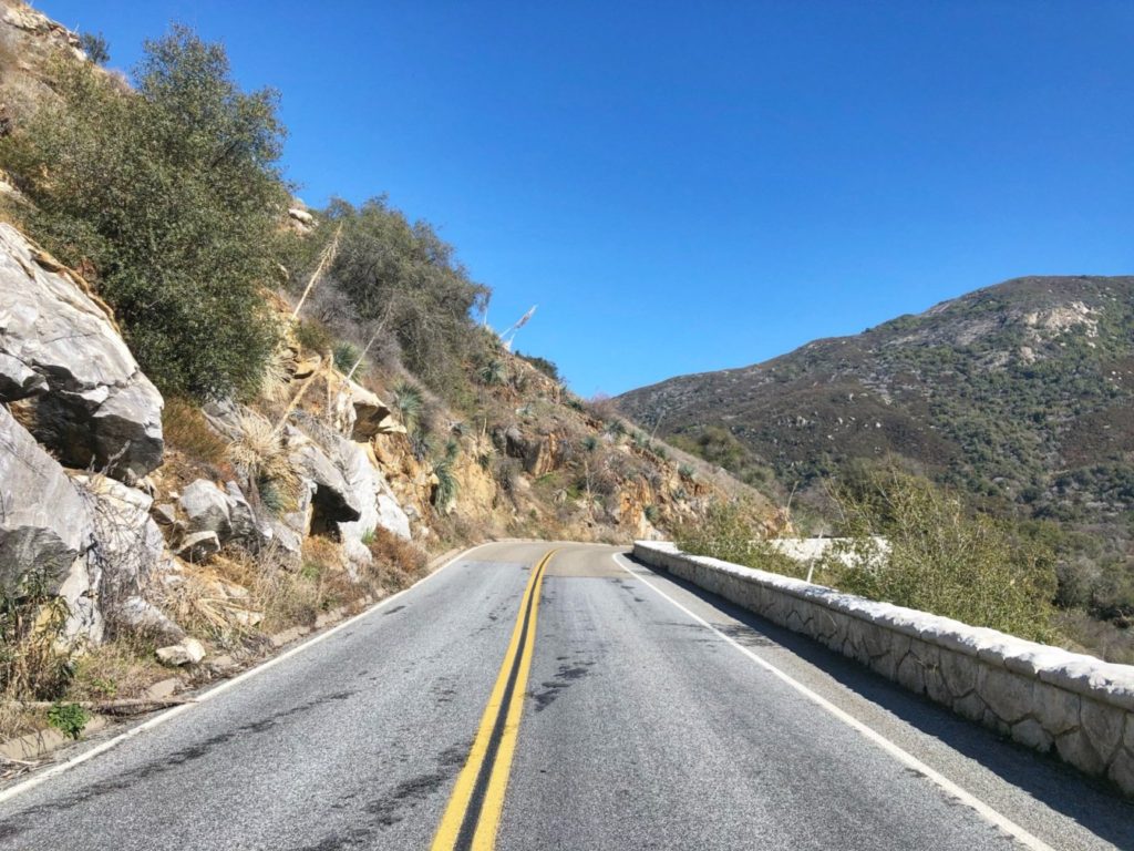
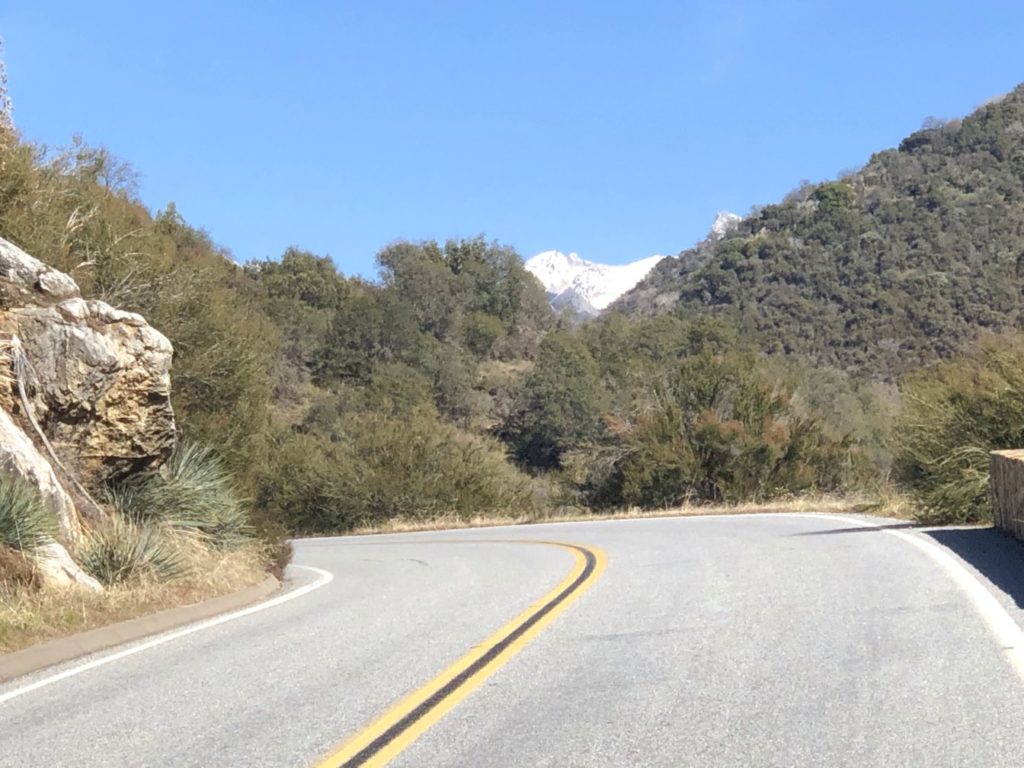
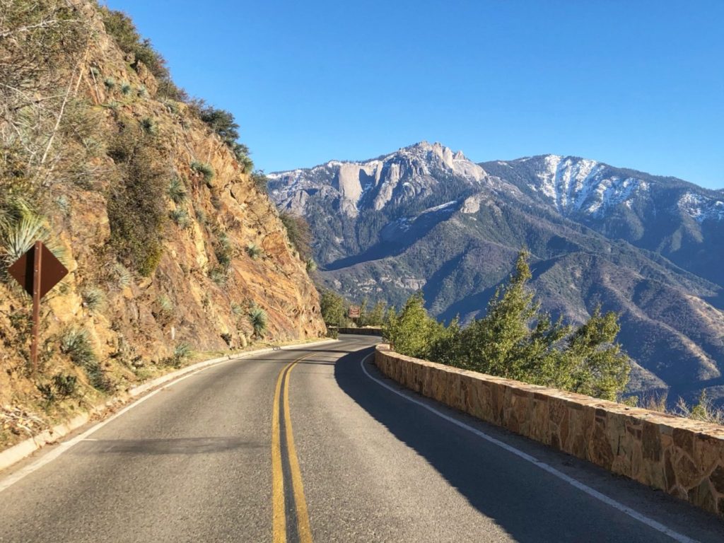
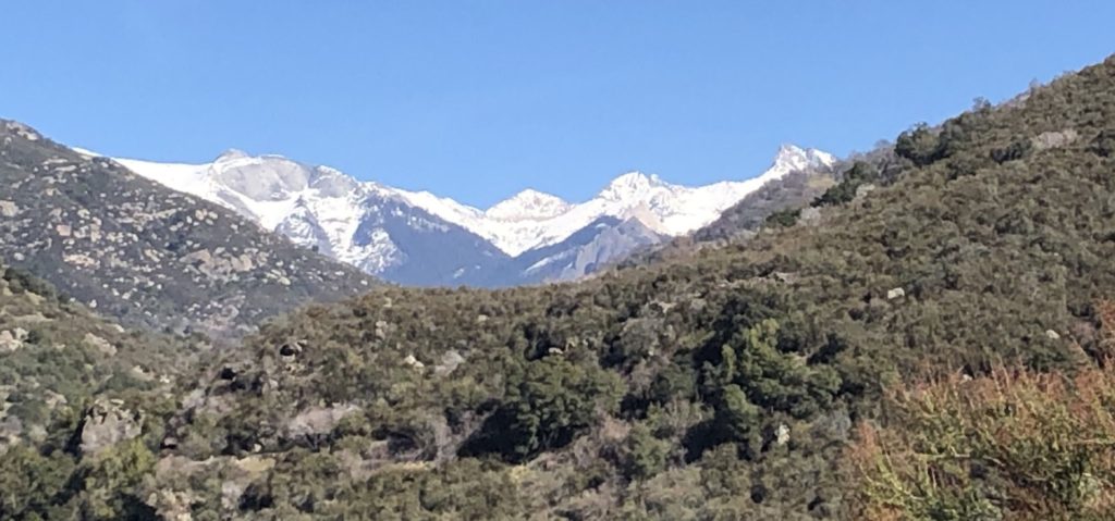
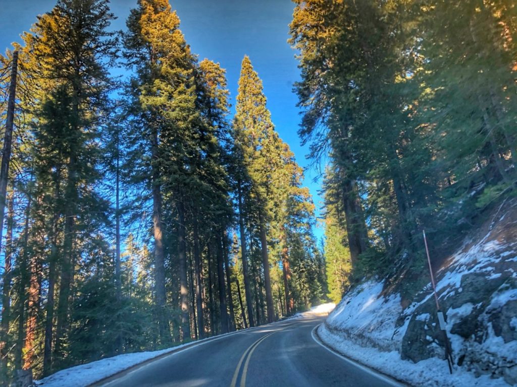
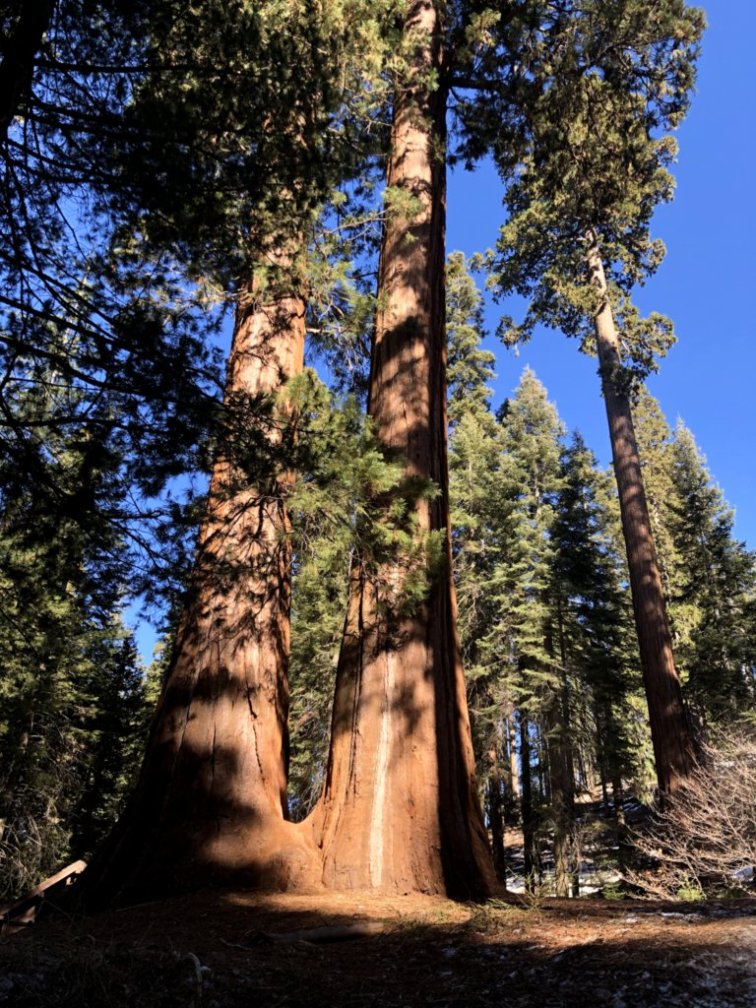
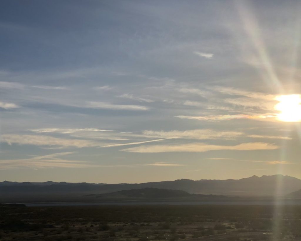
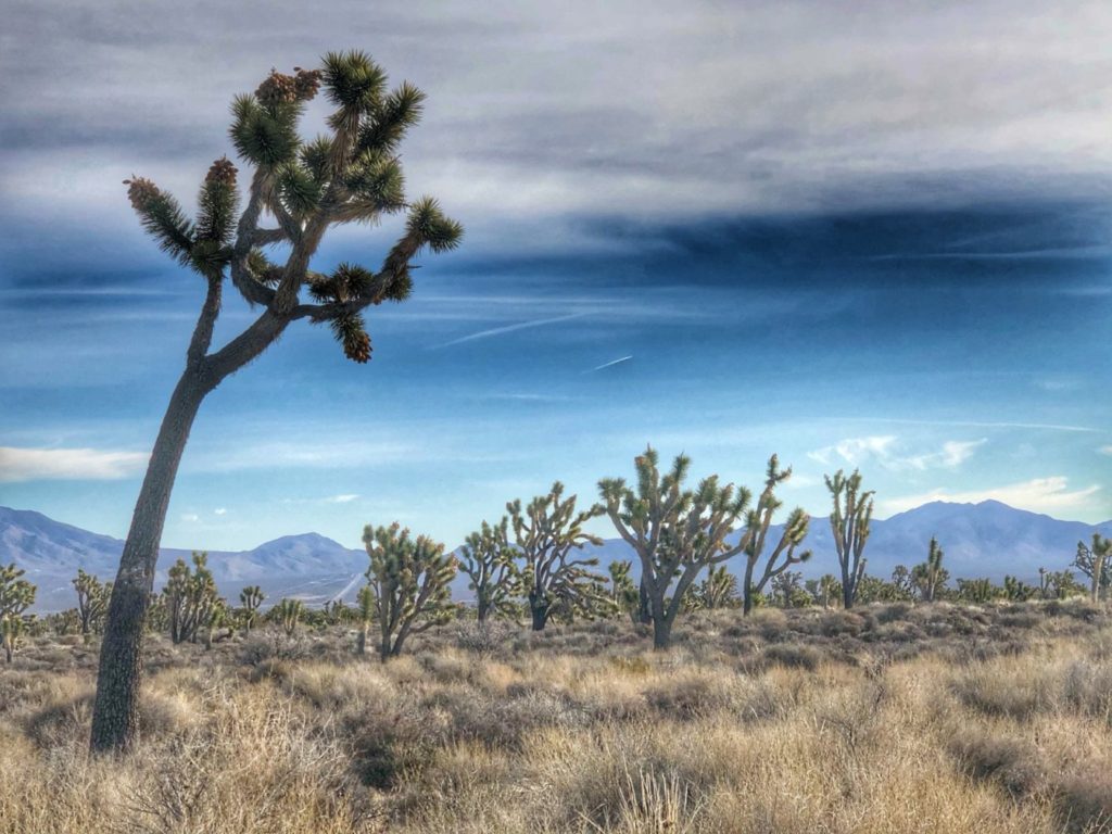
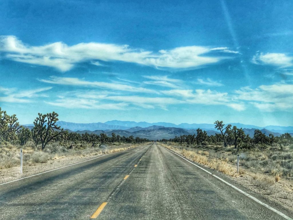
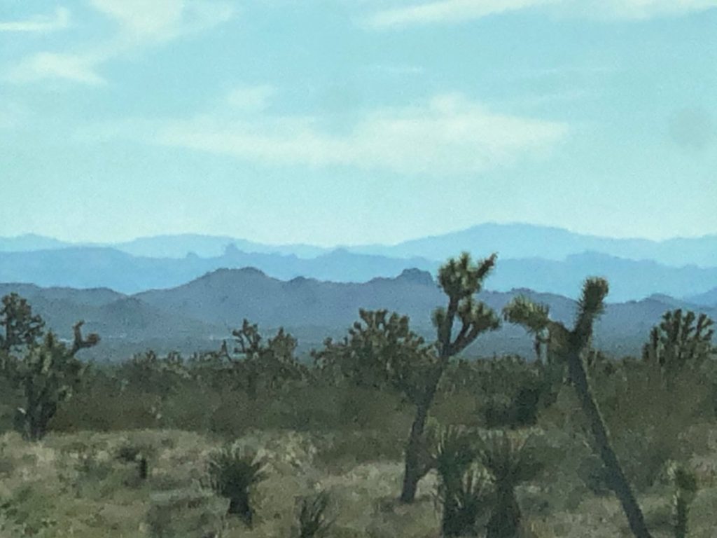
California Hwy 46 just east of Paso Robles, CaliforniaHeading east on California Hwy 41 near Avenal, CaliforniaCA Hwy 198 near Lemon Cove, California heading towards the Sierra Nevada mountain range.CA Hwy 198 looking at Sierra Nevadas east of Lemon Cove, CaliforniaClimbing higher entering Three Rivers, California on CA Hwy 198After entering Sequoia National Park on CA Hwy 198 – This is called the General’s Highway, much of which is only 10 mphAs we got higher in altitude on the General’s Highway, the vegetation changesCA 198 in Sequoia National ParkCalifornia’s Mt. Whitney as seen from the General’s Highway in Sequoia National ParkSnow topped mountains as seen from Sequoia National ParkLovely vista of the landscape as seen from high up on the Generals HighwaySnowy roads in the Giant ForestDriving through the giants in Sequoia National Park on CA Hwy 198.Some of the giant sequoia treesSunrise near Baker, CaliforniaDriving on Interstate 15 east towards Baker, CaliforniaInterstate 15 Baker, CaliforniaJoshua Trees near Baker, CaliforniaNipton Road heading east to Nipton, CaliforniaMojave Desert scene at Ivanpah Rd and Nipton Rd near Nipton CANipton Road in California heading east to Nevada
NEVADA
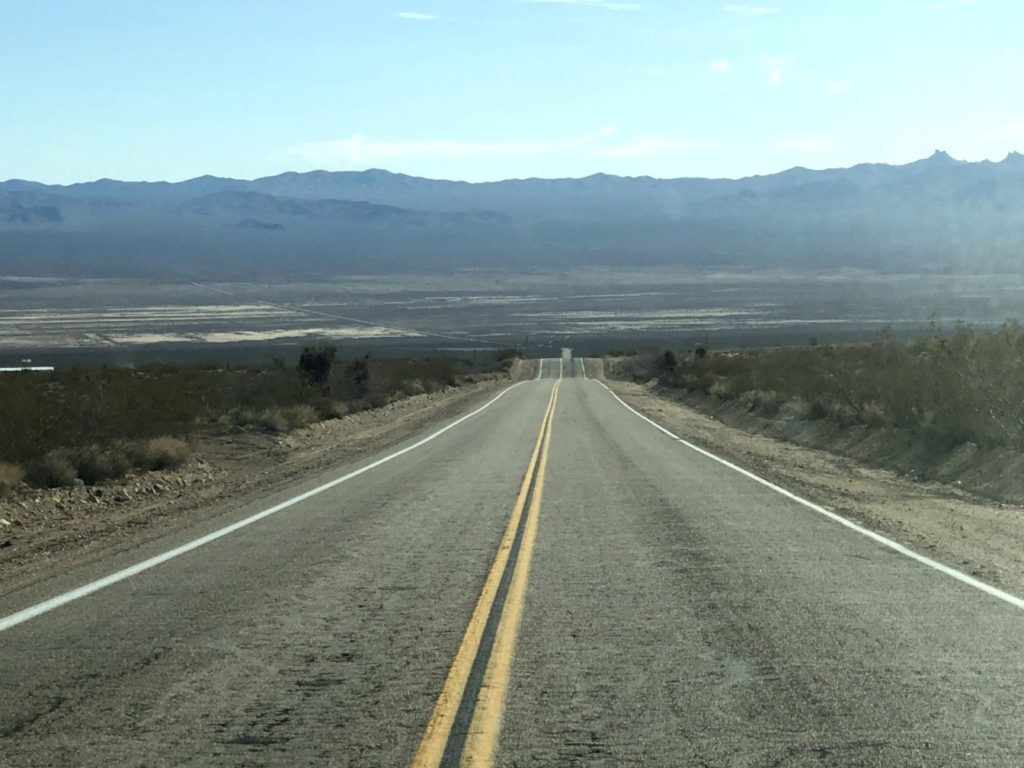
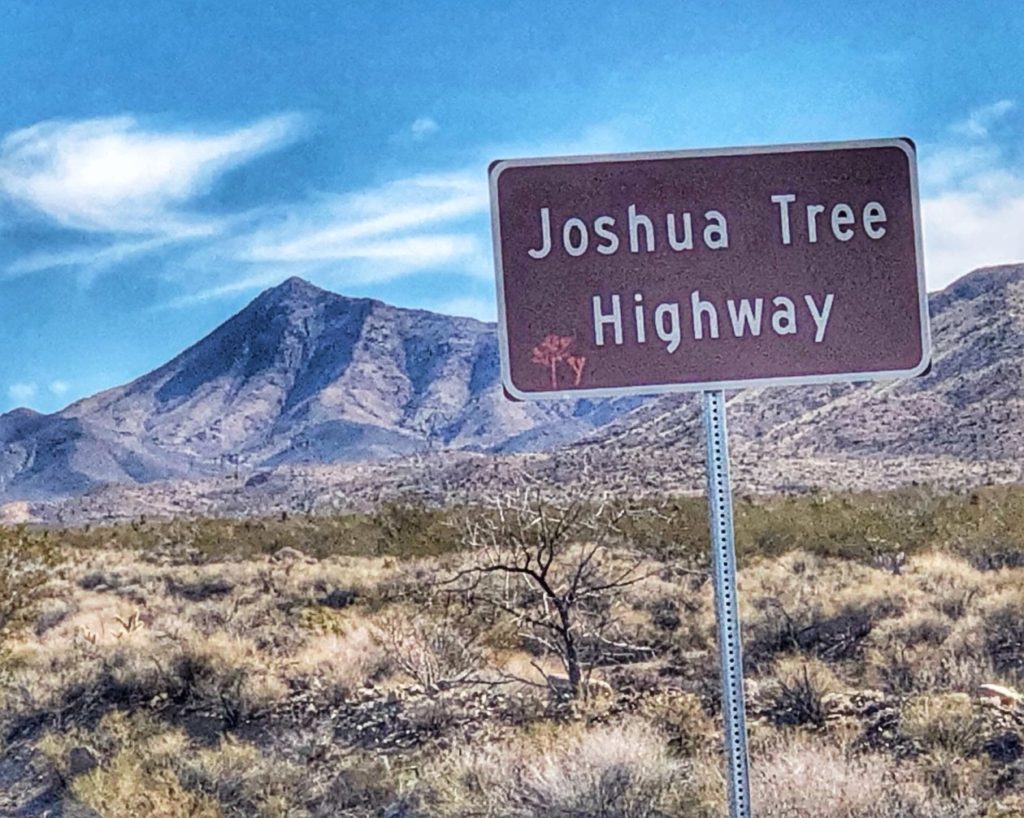
Joshua Tree Highway, Nevada Hwy 164NV Hwy 164 near Walking Box Ranch Rd Searchlight, NevadaJoshua Tree Highway Searchlight, Nevada
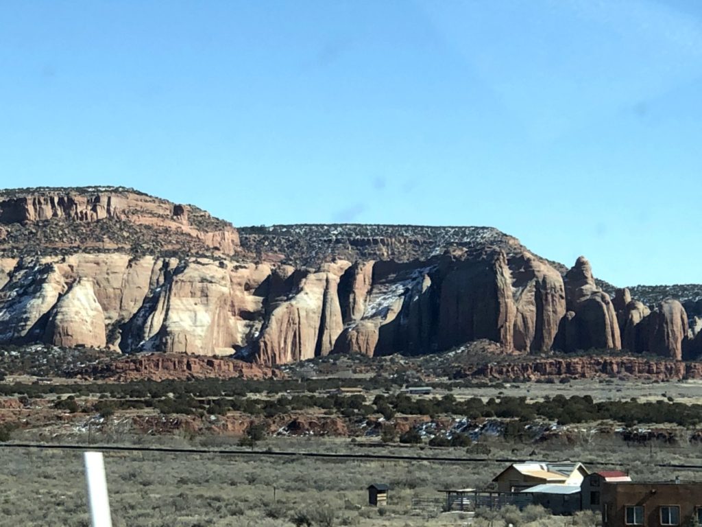
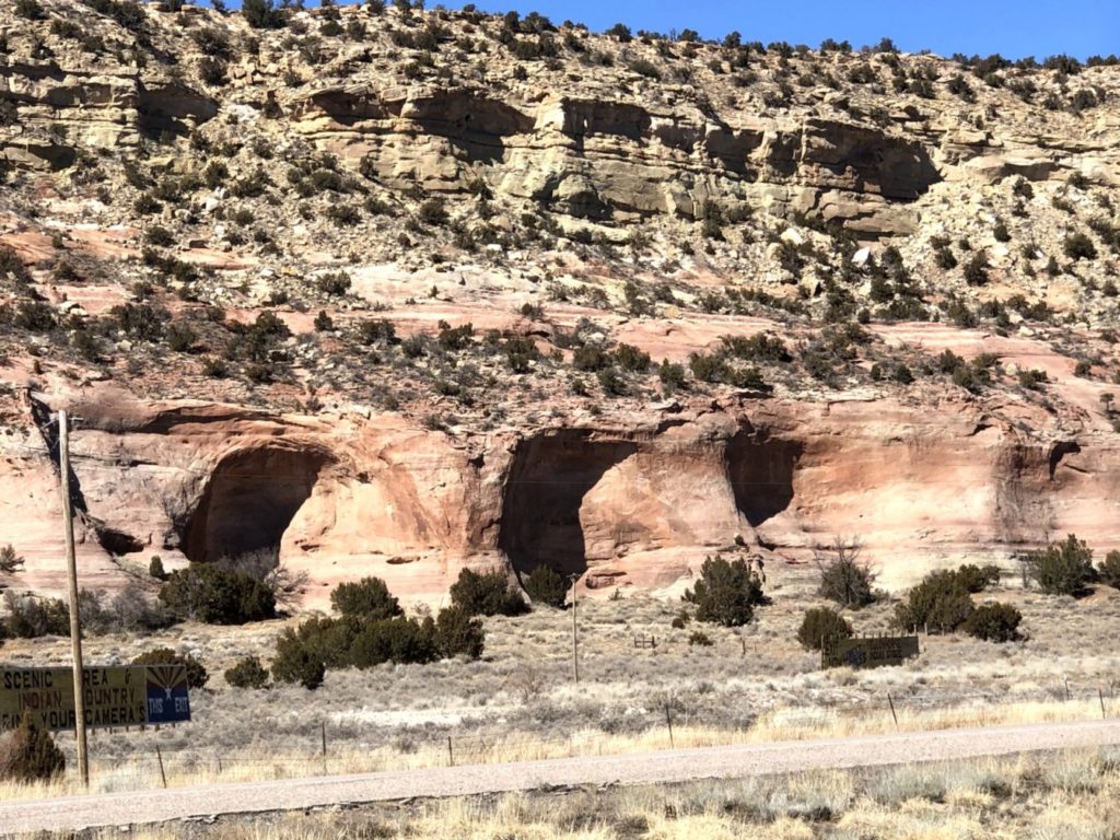
ARIZONA
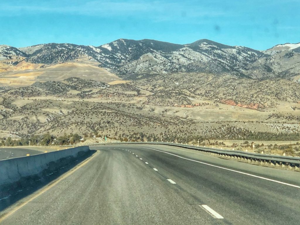
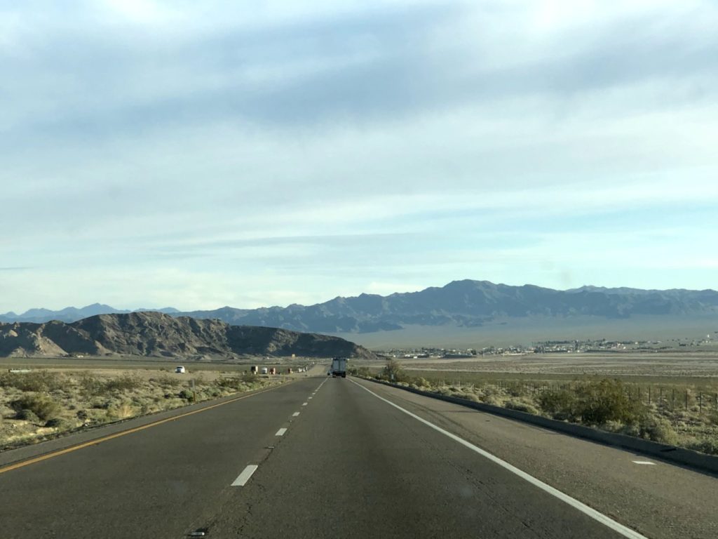
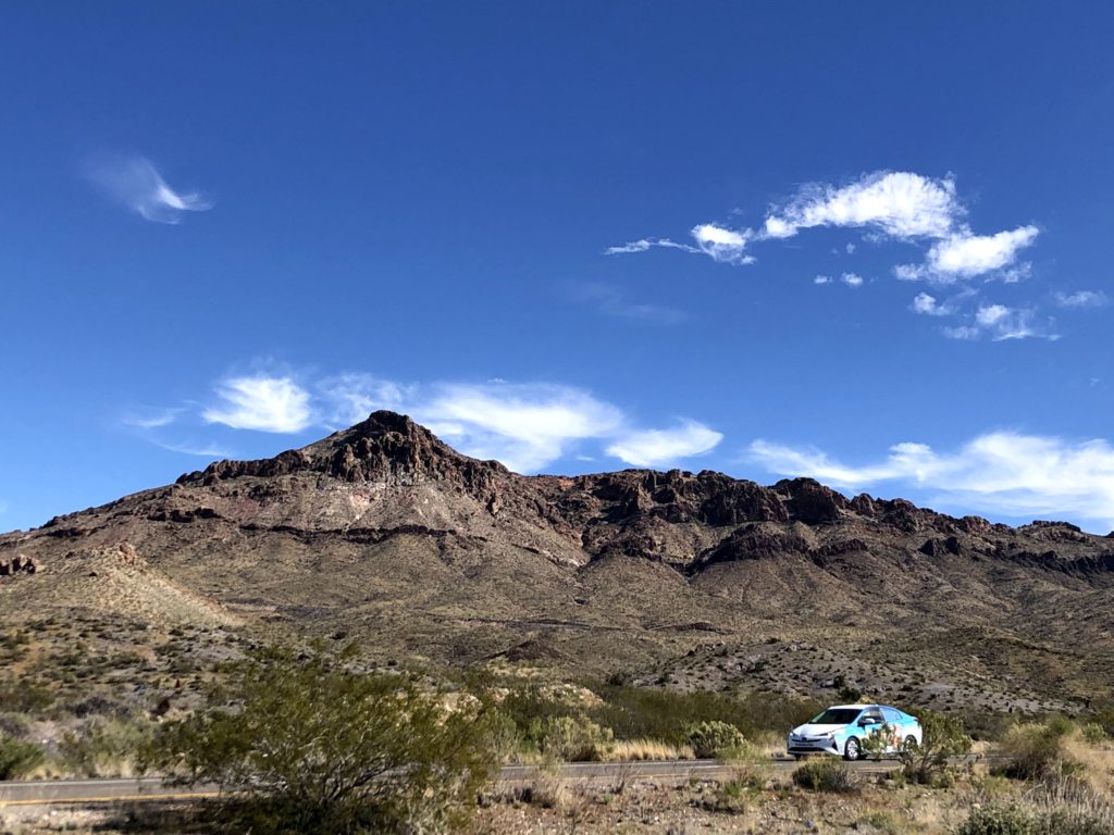
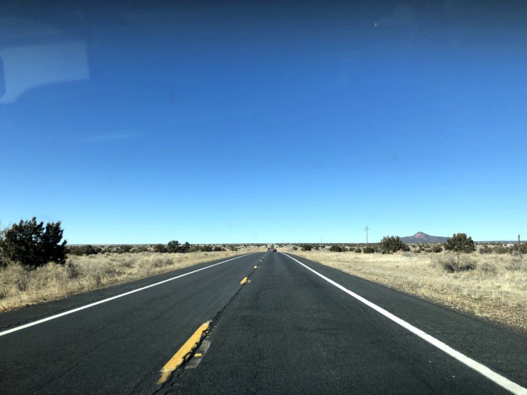
Arizona Hwy 68 near Golden Valley, ArizonaAnother shot from Hwy 68 near Golden Valley, ArizonaArizona Hwy 64 heading north to Grand Canyon from Williams AZ
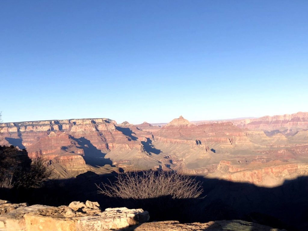
Can we take enough photos of the amazing Grand Canyon?
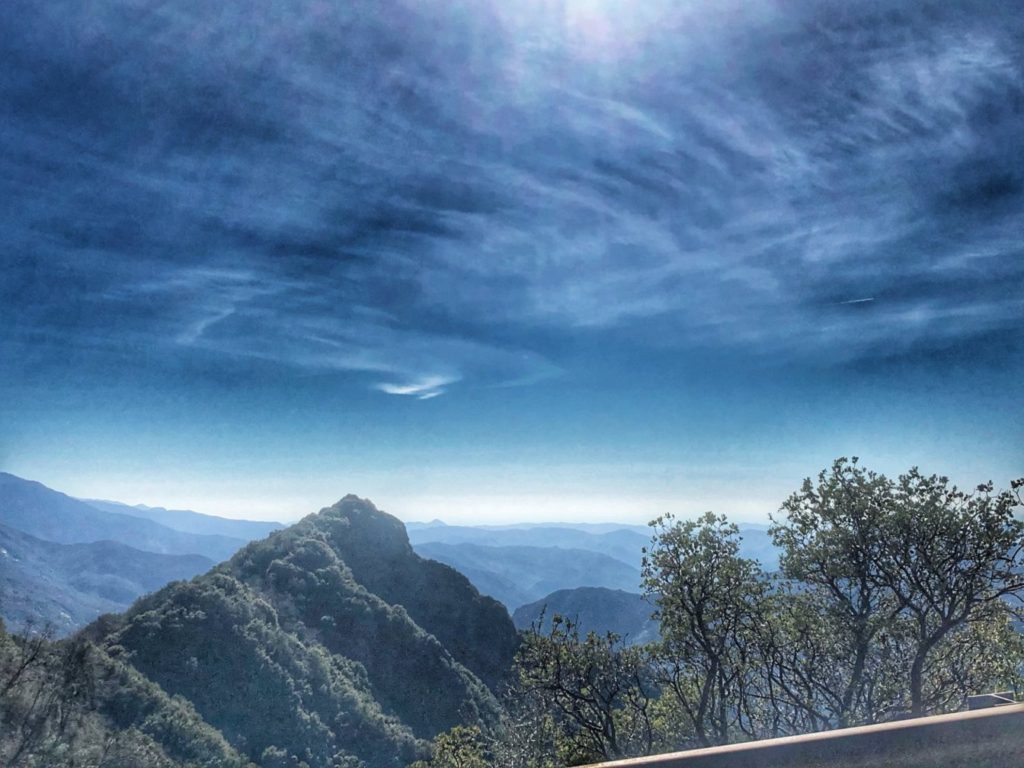
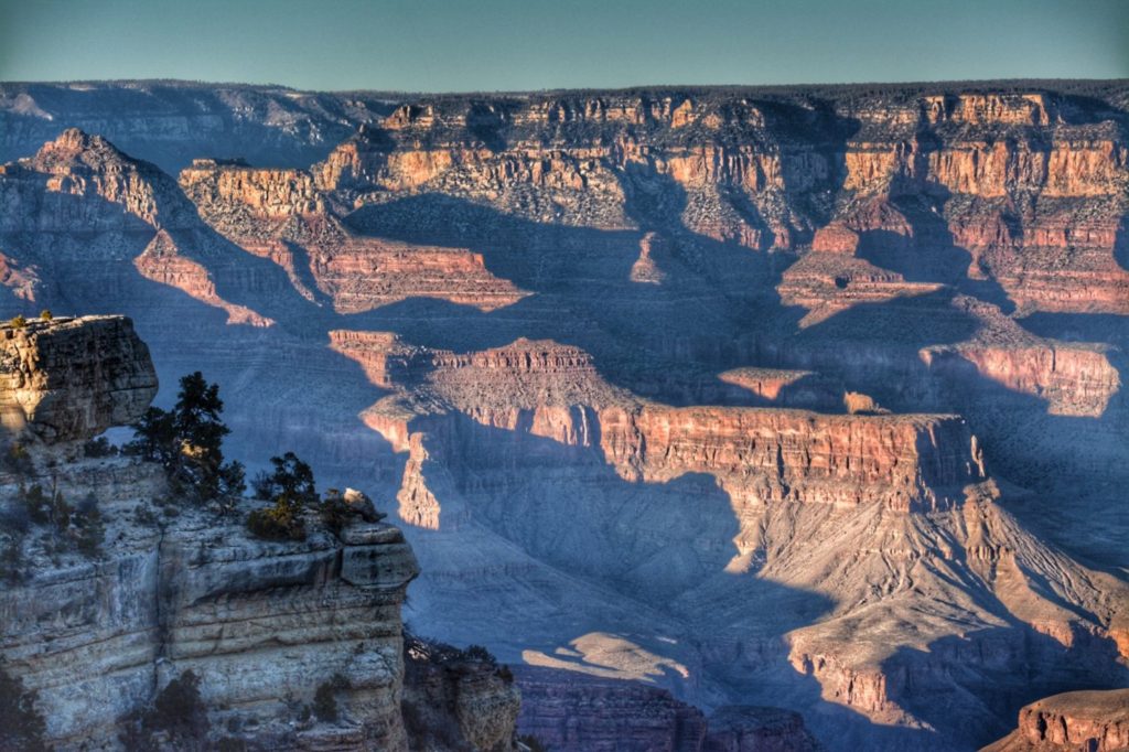
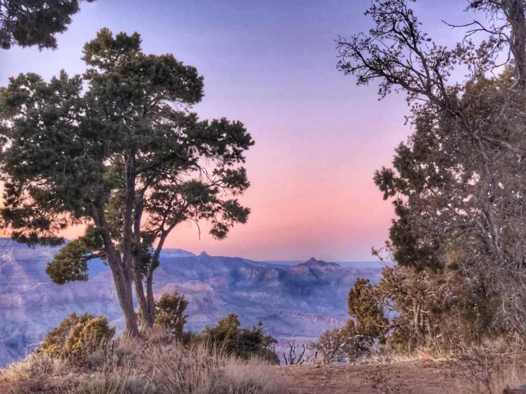
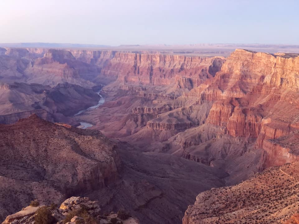
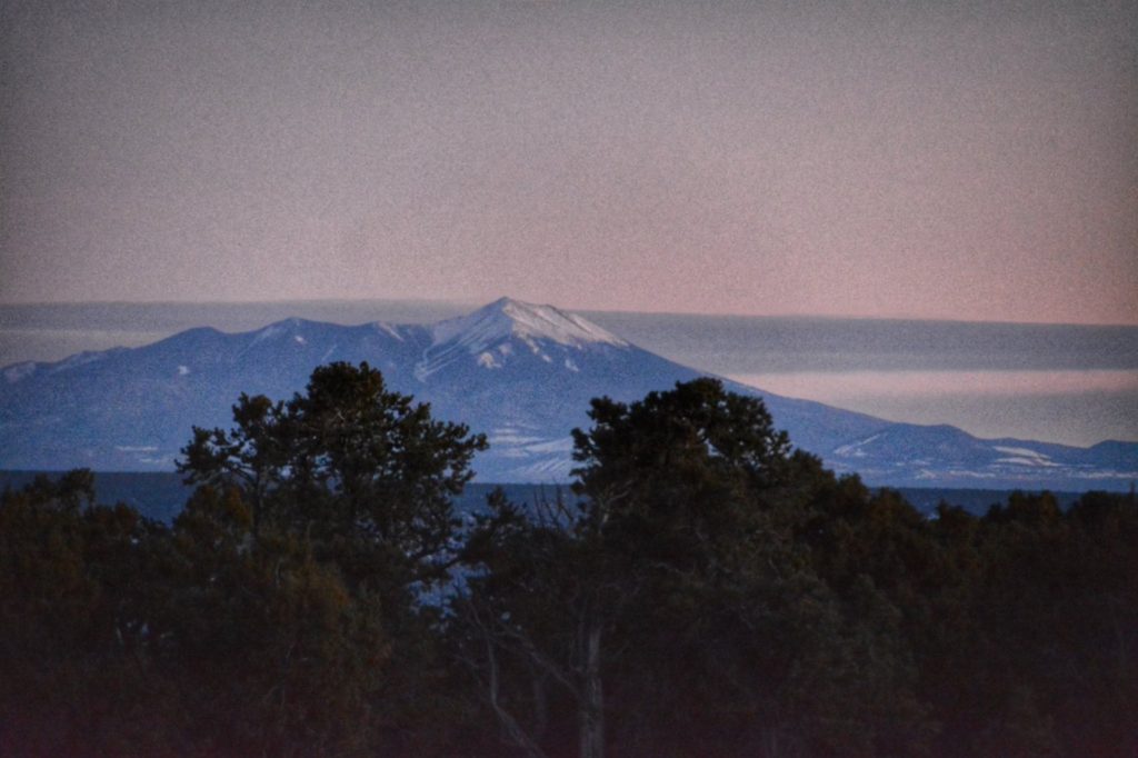
Grand Canyon ArizonaAnother shot of the Grand CanyonAnother Grand Canyon SceneDusk skies take over the Grand CanyonThe Colorado River runs through the Grand Canyon (photo by Marissa Noe)Sunset at the Grand CanyonIt is just after sunset and this was the view south of the Grand Canyon looking at Mt. Humphreys in the San Francisco Peaks. Flagstaff is on the other side of those mountains.
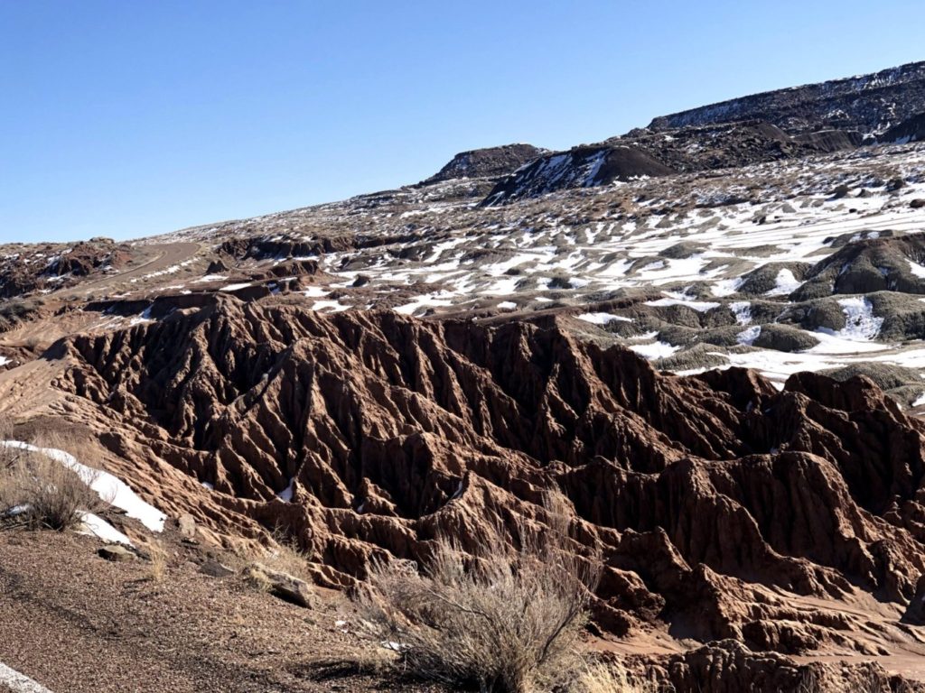
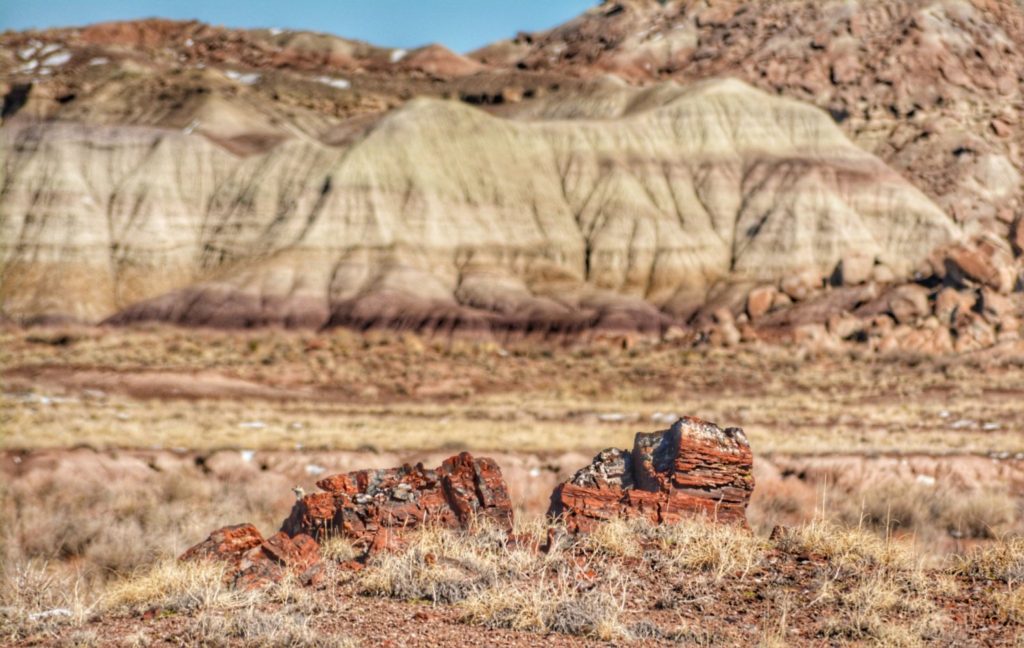
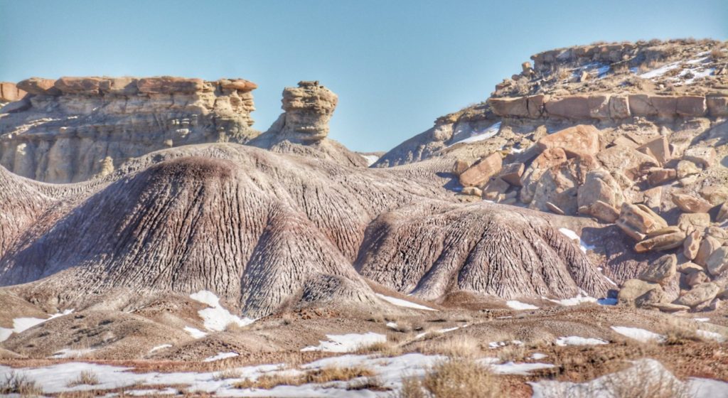
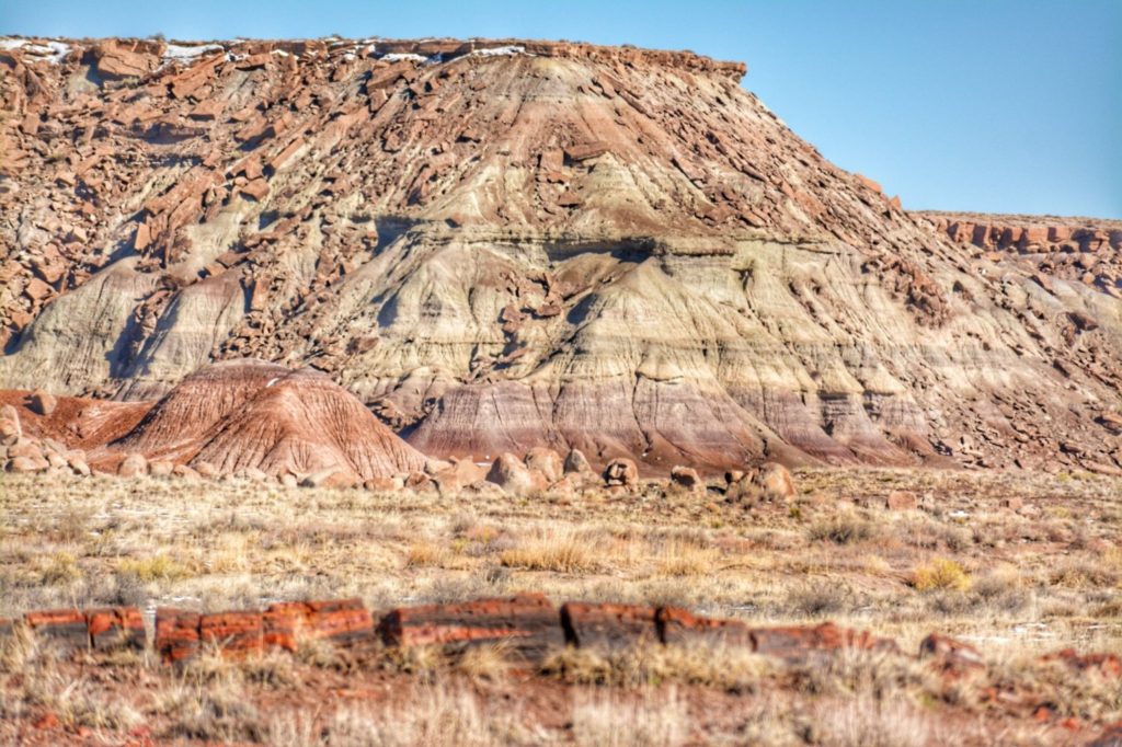
After the Grand Canyon, we continued east for a visit to the Petrified Forest National Park and Painted Desert.
A scene from the Painted Desert portion of the Petrified Forest National ParkPetrified wood and painted desert in the Petrified Forest National ParkAnother shot of the Painted DesertPainted Desert and a Petrified Log
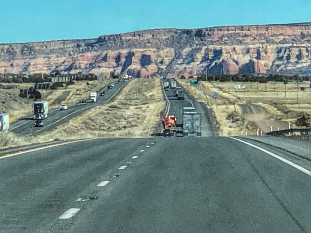
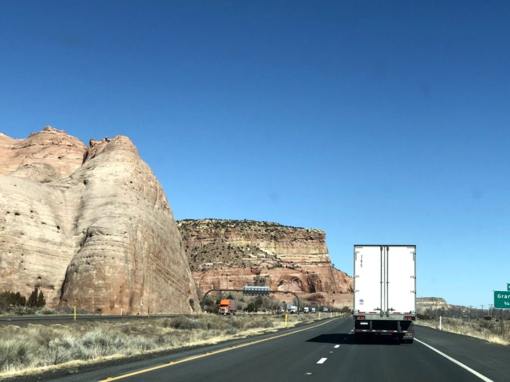
From the Petrified Forest, we continued east on Interstate 40 towards New Mexico
Interstate 40 near Ganado, ArizonaInterstate 40 in Ganado, ArizonaRed Rocks along the side of the InterstateA distant view of Ganado, Arizona on the Navajo Reservation
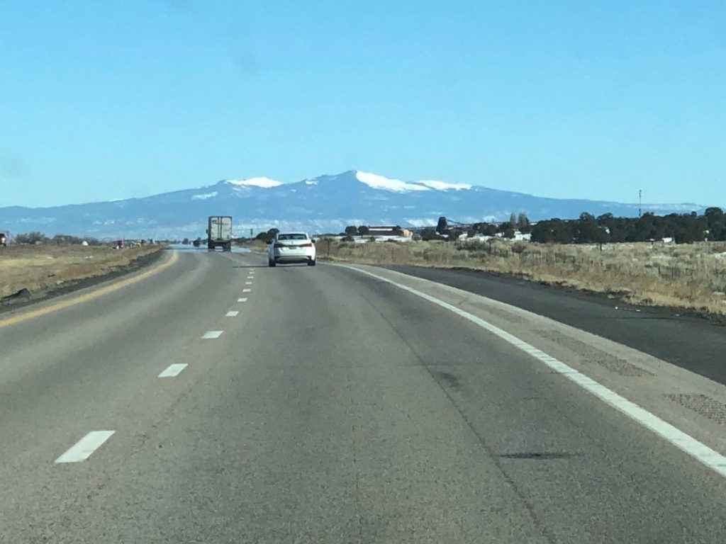
NEW MEXICO
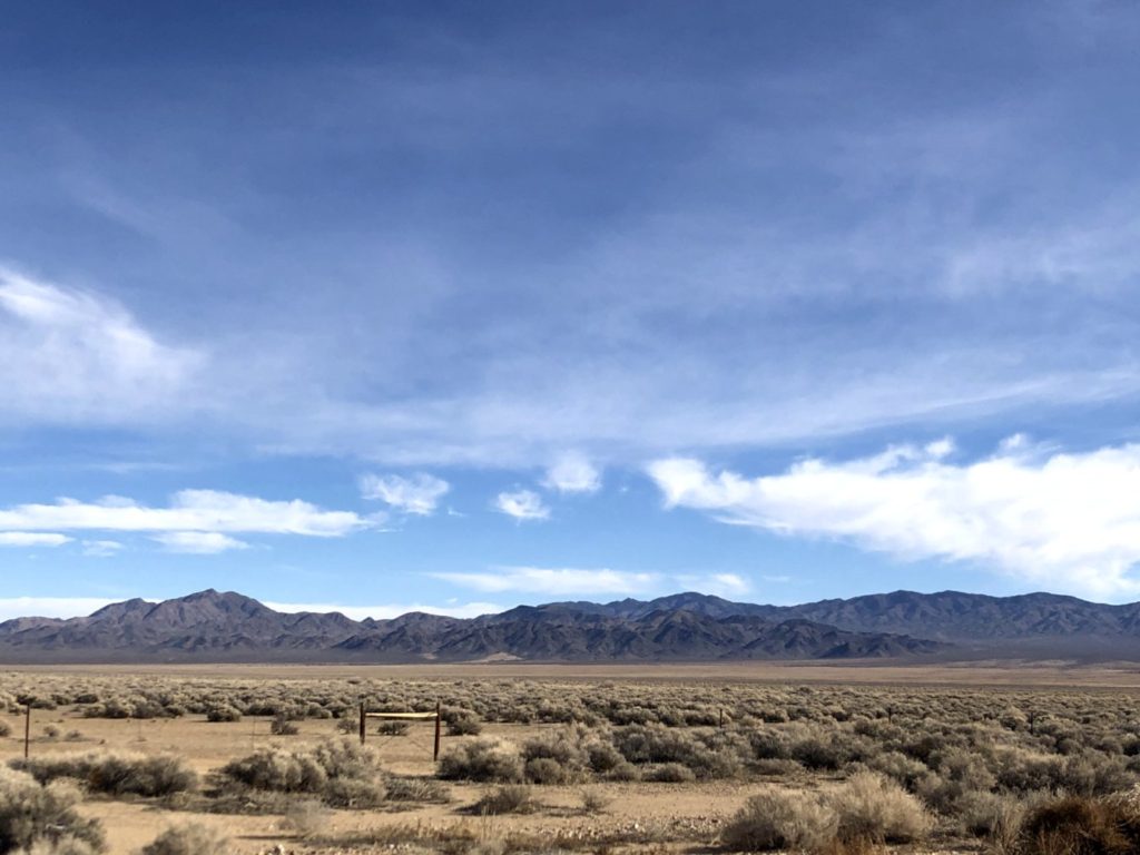
A view of wind blown sandstone west of Gallup, New Mexico as seen from Interstate 40 / Route 66Interstate 40 eastbound near Continental Divide, New MexicoHeading east on I-40 into Albuquerque, New Mexico with the Sandia Mountains in the backgroundLooking at the Sandia Mountains west of Albuquerque, New Mexico
After spending the night in Clovis, New Mexico, we made our way into Texas near Texico, New Mexico and Farwell, Texas…basically one town divided by railroad tracks.
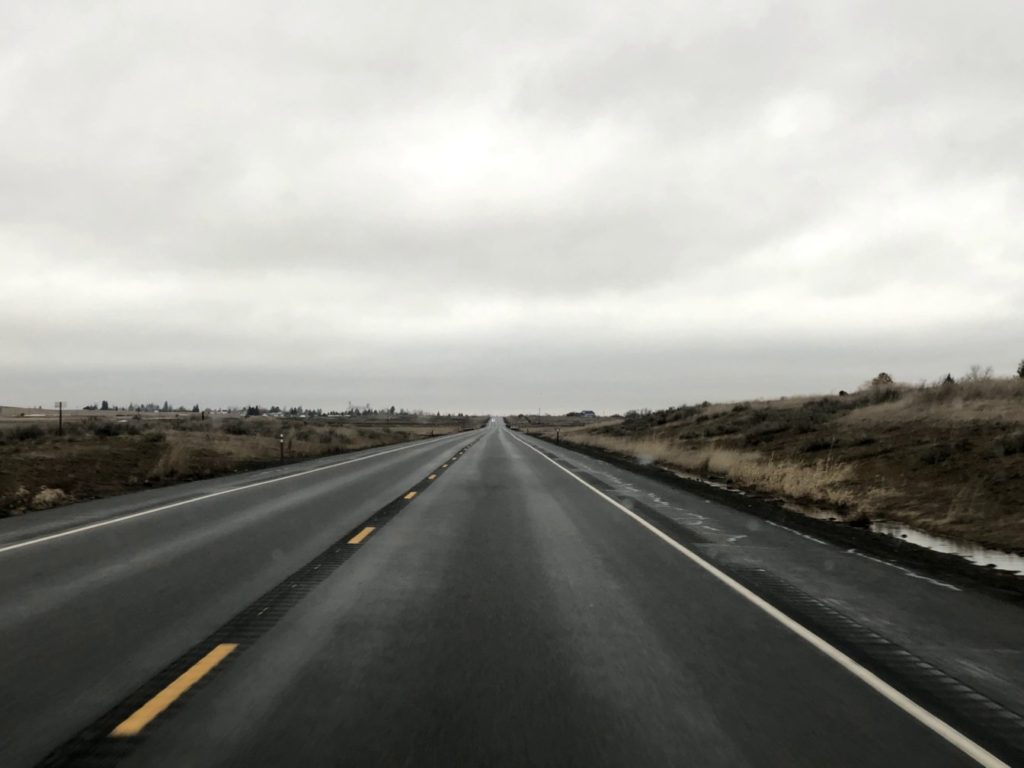
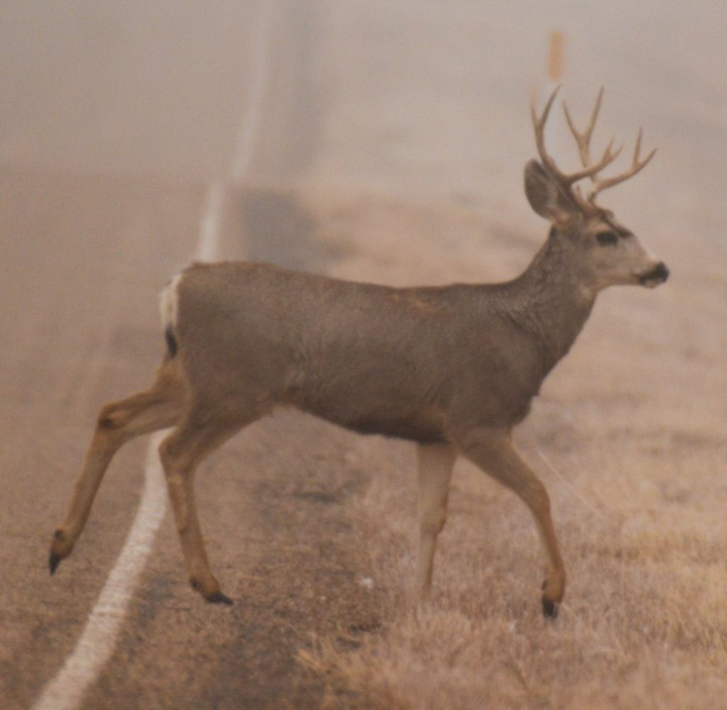
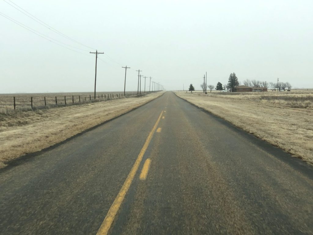
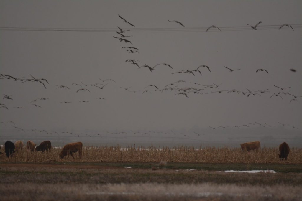
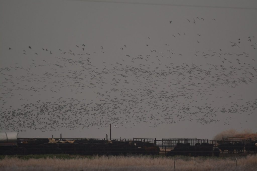
Stateline Road (NM 348) between Texico, New Mexico and Farwell, TexasA young buck crosses the road near Muleshoe, TexasTexas Hwy 70 south of Turkey, TexasTexas FM 1075 heading east from Happy, TexasSandhill Cranes and Cattle near Dimmit, TexasSnow Geese and Cattle on TX 1075 near Dimmitt, TexasScene from north of Seymour, Texas on FM 1919
After driving through the deserts and grasslands of west Texas and a couple of days stay in Fort Worth, we headed to northeast Texas into swamp country.
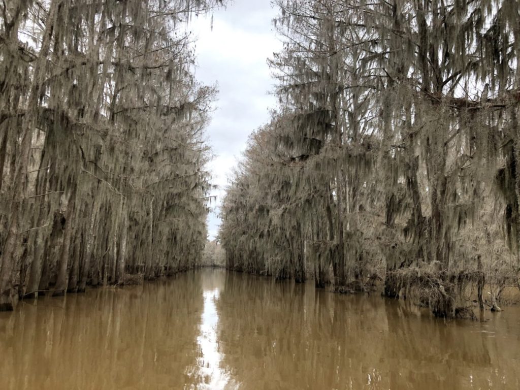
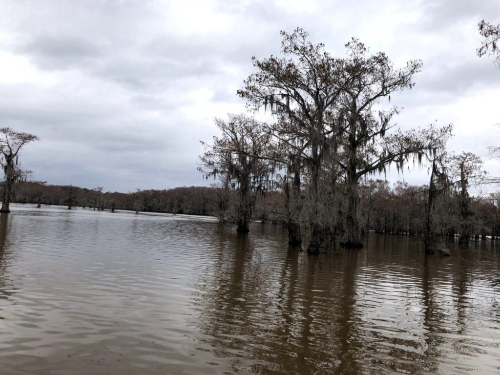
Bayou in Caddo Lake swamp near Uncertain, TexasBald Cypress in Caddo Lake in NE Texas
LOUISIANA
Louisiana 170 near Vivian, LouisianaLouisiana Hwy 2, also known as Trees City Road near Vivian, LouisianaLouisiana is flat. This is on Interstate 49 heading north near Vivian, Louisiana
ARKANSAS
Interstate 30 near Donaldson, Arkansas
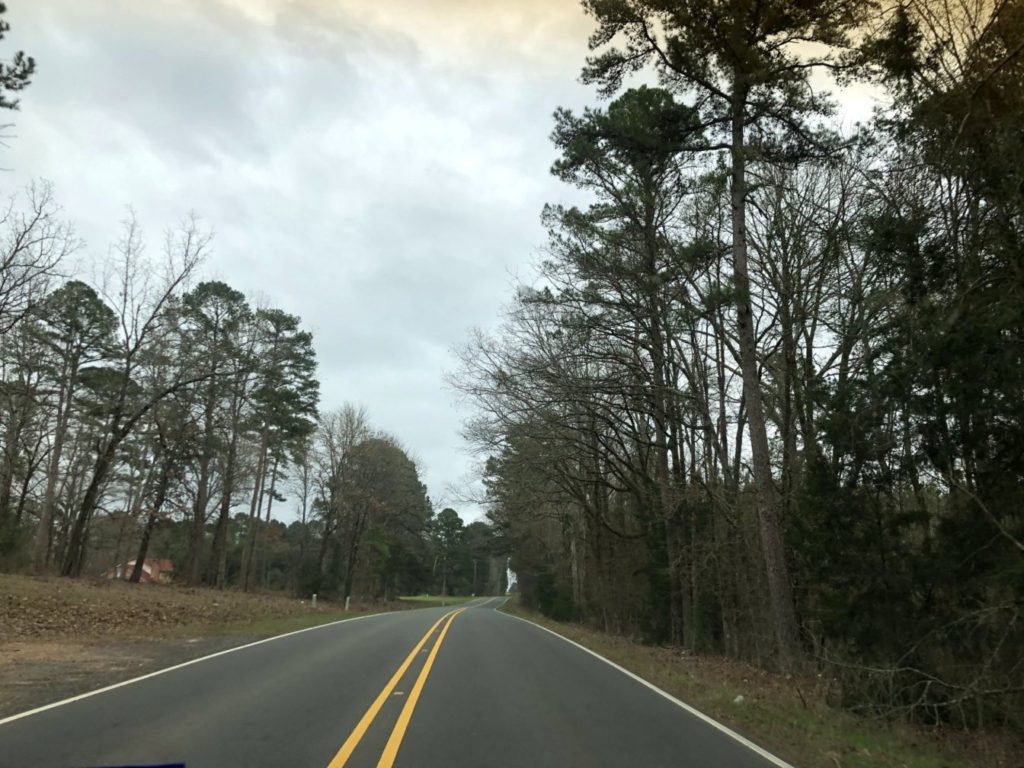
After a drive through Louisiana, Arkansas and Tennessee, we finally made it to Kentucky
KENTUCKY
Through limestone palisades on the Bluegrass Parkway east of Elizabethtown KY
And thus ends our EPIC Road trip in scenery across the country. Hope you enjoyed the ride.
WATCH FOR MY NEW BOOK “8154” — COMING SOON TO AMAZON
I am currently working on my FOURTH book, titled “8154” to represent the mileage of my epic road trip with family. You can visit my Amazon Author Page to see my other books at https://amzn.to/3azY36l