2023: Year in Travel and Other Stories – Part 2 – April and May
Adventure, Back Roads, Backroads Discoveries, Bike Trails, Books, Bridges, Buildings, Barns and Houses, Covered Bridges, Family Travel, Farmland, Flowers, Hiking Trails, Kentucky, Landscapes, Mountains, Murals, Offbeat Places, Ohio, Place Names, Roadside Attractions, Selfies, Sheltowee Trace, Staycations, Unexpected Discoveries, Unique Places, Welcome Signs, Wildflowers
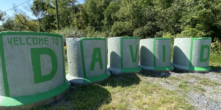
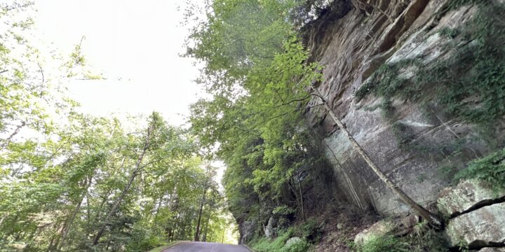
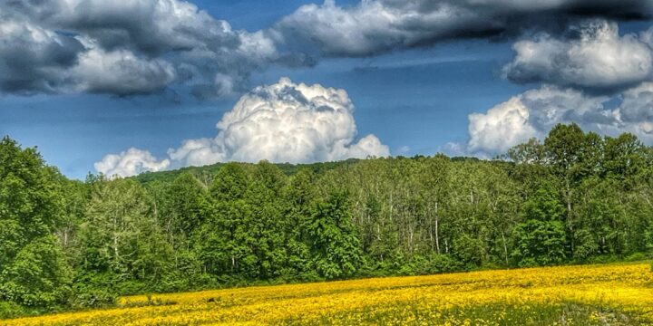
The second quarter of 2023 was not a super busy travel period for me. I was still recovering from my shoulder injury, but was thrilled to begin "breaking in" the new (to us) GX460. [caption id="" align="alignnone" width="649"] Mural in McKee, KY[/caption] [caption id="" align="alignnone" width="651"] Sheltowee Trace near McKee[/caption] [caption id="" align="alignnone" width="651"] I was struck by the beauty of this old house in McKee, KY[/caption] [caption id="" align="alignnone" width="651"] Nature on the Sheltowee Trace[/caption] Our first trip was once again associated with the Sheltowee Trace as we traveled to McKee, Kentucky. While Julianne hiked, I drove into the countryside and made a few new discoveries. After her hike we did our traditional Mexican Food restaurant visit, this time hitting up the El Dorado Restaurant in McKee. It was…